MyTopo
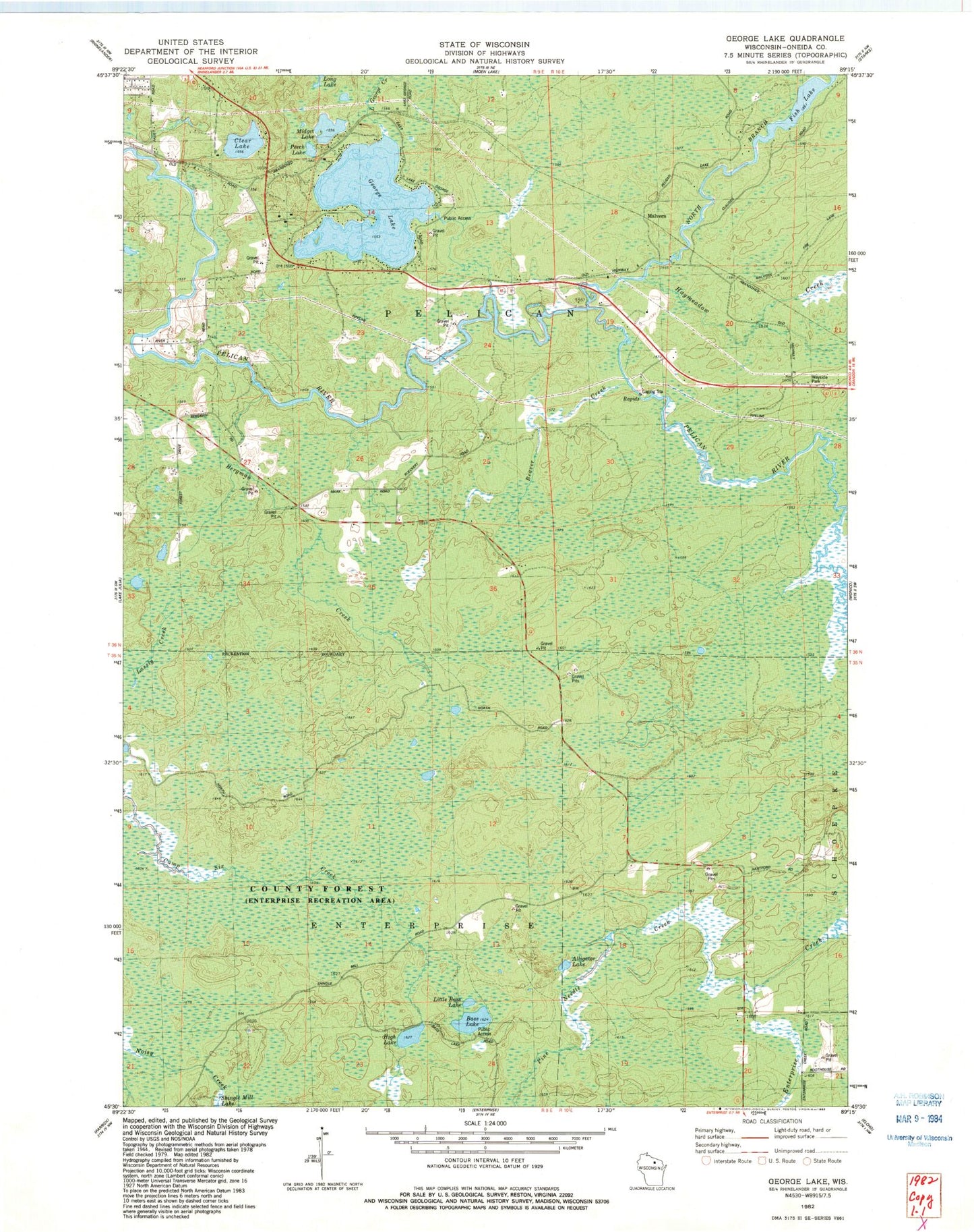
Classic USGS George Lake Wisconsin 7.5'x7.5' Topo Map
Couldn't load pickup availability
Historical USGS topographic quad map of George Lake in the state of Wisconsin. Map scale may vary for some years, but is generally around 1:24,000. Print size is approximately 24" x 27"
This quadrangle is in the following counties: Oneida.
The map contains contour lines, roads, rivers, towns, and lakes. Printed on high-quality waterproof paper with UV fade-resistant inks, and shipped rolled.
Contains the following named places: Alligator Lake, Bass Lake, Beaver Creek, Bergman Creek, Clear Lake, Cuenin Creek, Enterprise Recreation Area, Fish Lake, George Lake, Haymeadow Creek, High Lake, Lake George School, Little Bass Lake, Little George Creek, Malvern, Midget Lake, Neptune Creek, North Branch Pelican River, Pelican Fire and Rescue Department, Perch Lake, Pine Grove School, Pine Needle Creek, Town of Enterprise, Town of Pelican, Wayside School