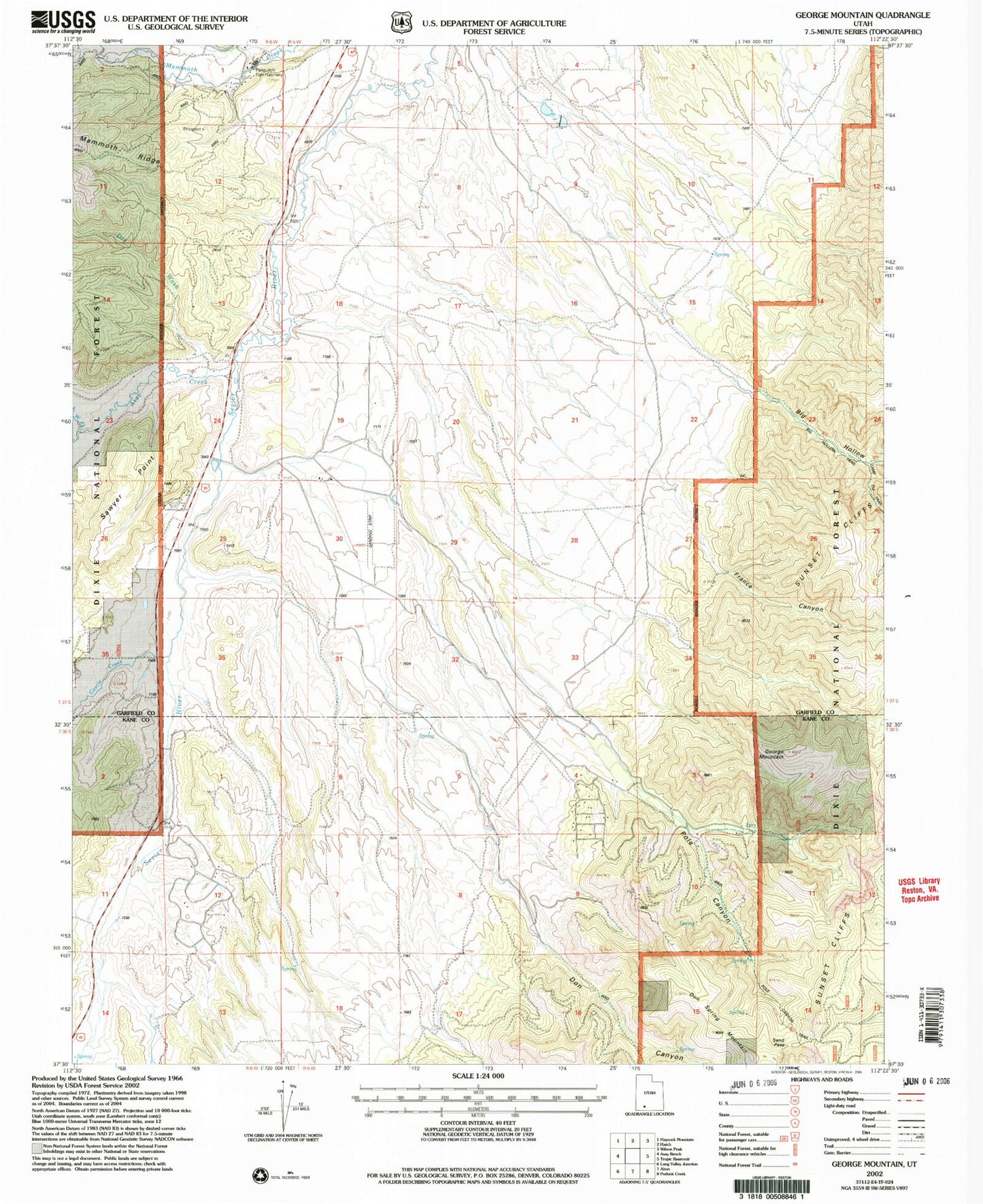
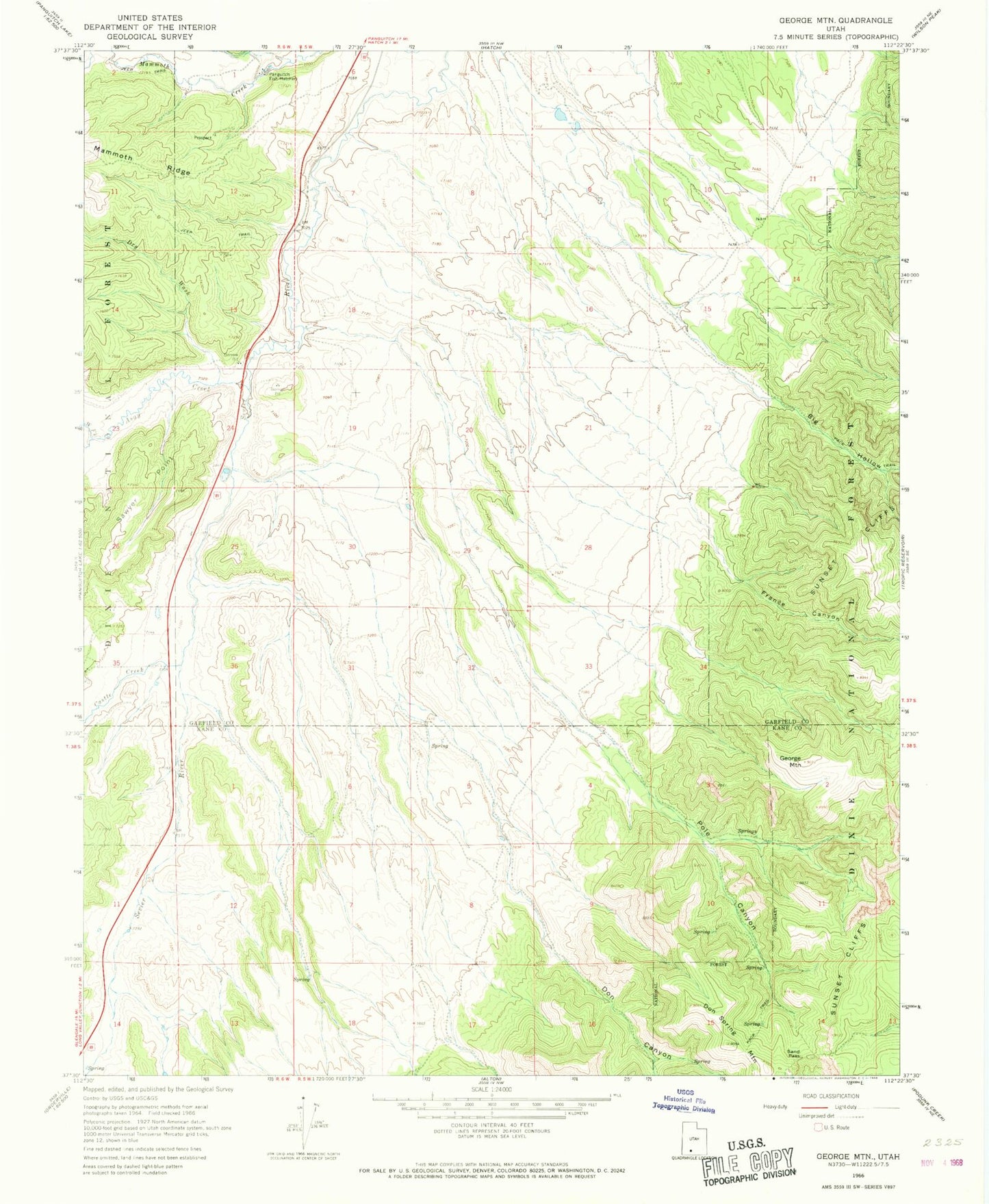
MyTopo
Classic USGS George Mountain Utah 7.5'x7.5' Topo Map
Couldn't load pickup availability
Historical USGS topographic quad map of George Mountain in the state of Utah. Map scale may vary for some years, but is generally around 1:24,000. Print size is approximately 24" x 27"
This quadrangle is in the following counties: Garfield, Kane.
The map contains contour lines, roads, rivers, towns, and lakes. Printed on high-quality waterproof paper with UV fade-resistant inks, and shipped rolled.
Contains the following named places: Asay Creek, Asay Town, Big Hollow, Bryce Woodland Estates Landing Strip, Castle Creek, Don Canyon, Don Spring Mountain, Dry Wash, France Canyon, George Mountain, Left-hand Pole Canyon, Panguitch Fish Hatchery, Pole Canyon, Sand Pass, Spring Branch, Spring Hollow, West Fork Asay Creek