MyTopo
Classic USGS Georgetown South South Carolina 7.5'x7.5' Topo Map
Couldn't load pickup availability
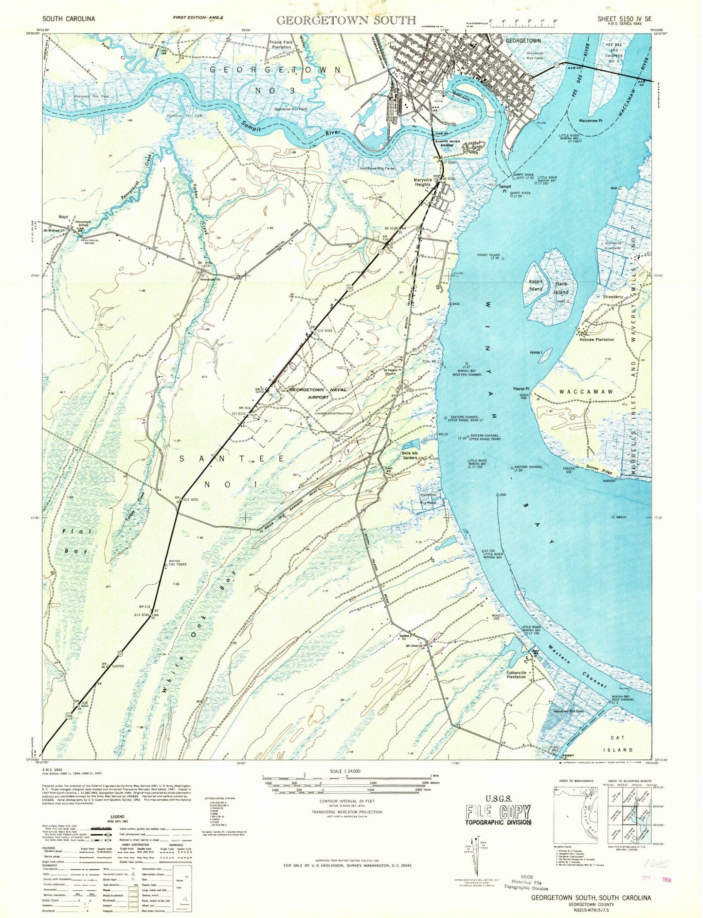
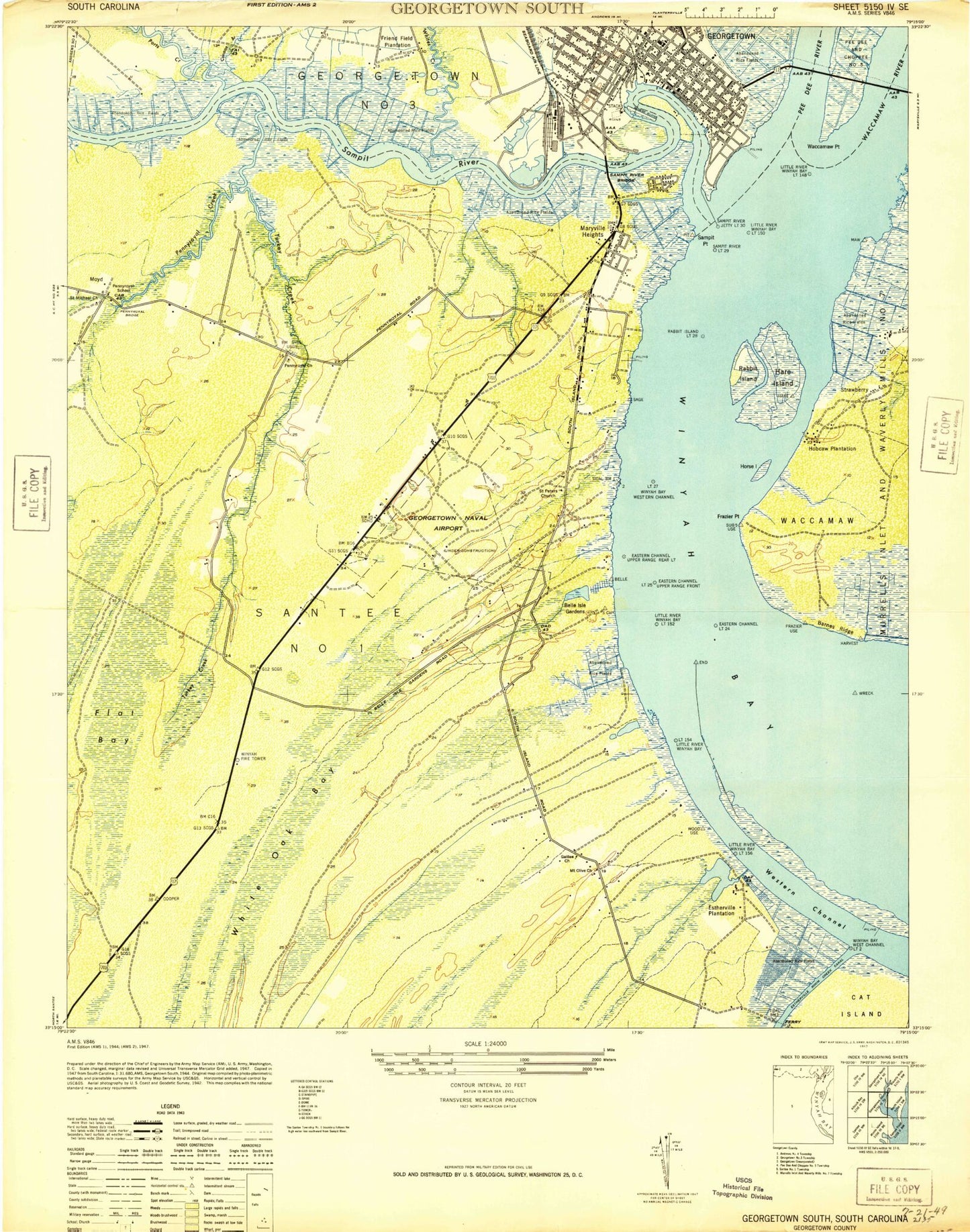
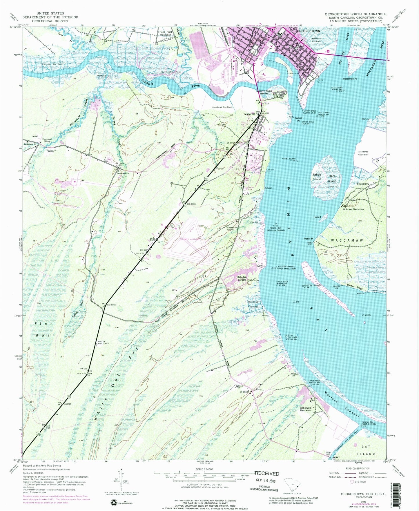
Historical USGS topographic quad map of Georgetown South in the state of South Carolina. Map scale may vary for some years, but is generally around 1:24,000. Print size is approximately 24" x 27"
This quadrangle is in the following counties: Georgetown.
The map contains contour lines, roads, rivers, towns, and lakes. Printed on high-quality waterproof paper with UV fade-resistant inks, and shipped rolled.
Contains the following named places: Airport Industrial Park, Baptist Cemetery, Barnes Ridge, Belle Isle Estates, Belle Isle Gardens, Belle Isle Park, Belle Isle Plantation, Beth Elohim Synagogue, Bethel African Methodist Episcopal Church, Bethseda Missionary Baptist Church, Bobby Alford Recreation Center, Calais Plantation, Calvary Baptist Church, Canaan Branch, City of Georgetown, City of Georgetown Sewage Treatment Facility, Coastal Eye Group - Bay Microsurgical Unit, Dickerson African Methodist Episcopal Church, Dover Plantation, Dreamkeepers Community Arts Center, Duncan Memorial United Methodist Church, East Bay Park, Eastern Channel Light 24, Eastern Channel Light 25 Upper Range Front, Estherville Plantation, First Assembly of God Church, First Baptist Church, First Church of God, Flat Bay, Francis Marion Park, Frazier Point, Friend Field Plantation, Galilee Church, Georgetown City Fire Department Station 1, Georgetown City Hall, Georgetown County Airport, Georgetown County Courthouse, Georgetown County Rural Fire Department Station 9, Georgetown Fire Department Station 2, Georgetown Freewill Baptist Church, Georgetown Historic District, Georgetown Landing Marina, Georgetown Memorial Library, Georgetown Police Department - Storage, Georgetown Post Office, Georgetown Public School, Georgetown Waterworks, Great Pee Dee River, Harborwalk Marina, Hare Island, Harold Haminski House Museum, Hobcaw Plantation, Horry-Georgetown Technical College, Horse Island, Howard School, Ip Two Waste Pond Dam D-3587, Ip Waste Pond Dam Number One D-3586, Jewish Cemetery, L H Siau Bridge, Lafayette Park, Light One Hundred Fifty-four Little River Winyah Bay, Light Twenty-seven Winyah Bay Western Channel, Little River Winyah Bay Light One Hundred Fifty, Little River Winyah Bay Light One Hundred Fifty-six, Little River Winyah Bay Light One Hundred Fifty-two, Little River Winyah Bay Light One Hundred Forty-eighT, Maryville, Maryville Elementary School, Maryville Park, Maryville Plantaion, Middle Ground, Morgan Park, Mount Hope Plantation, Mount Olive Baptist Church, Mount Olive Church, Mount Olive School, Mount Zion Baptist Church, Moyd, Pennyroyal Bridge, Pennyroyal Cemetery, Pennyroyal Church, Pennyroyal Creek, Pennyroyal Industrial Park, Pennyroyal School, Ports Creek, Prince George Winyah Cemetery, Prince George Winyah Episcopal Church, Rabbit Island, Rabbit Island Light Twenty-eight, RIce Museum, Saint Augustine Reformed Episcopal Church, Saint Cyprian Roman Catholic Church, Saint Cyprian School, Saint James Church, Saint Marys Roman Catholic Church, Saint Marys School, Saint Michael Church, Saint Peters Lutheran Church, Saint Stephens African Methodist Episcopal Church, Sampit Ferry, Sampit Point, Sampit River, Sampit River Bridge, Sampit River Jetty Light Thirty, Sampit River Light Twenty-nine, San Miguel De Gualdape, Shiloh Church, Shiloh School, South Carolina Noname 22016 D-3585 Dam, South Island Ferry, Steele Town, Strawberry, Tom Yawkey Wildlife Center, Turkey Creek, US Coast Guard, Victory Christian Fellowship Full Gospel Church, Waccamaw Point, Waccamaw River, Wesley Methodist Episcopal Church, Western Channel, White Hall Estates, White Oak Bay, Whites Creek, Winyah Bay Golf and Country Club, Winyah Bay West Channel Light Two, Winyah Fire Tower, Winyah High School, Winyah Indigo Society Hall, WTUB-FM (Georgetown), WVBX-AM (Georgetown)


