MyTopo
Classic USGS Georgetown Alabama 7.5'x7.5' Topo Map
Couldn't load pickup availability
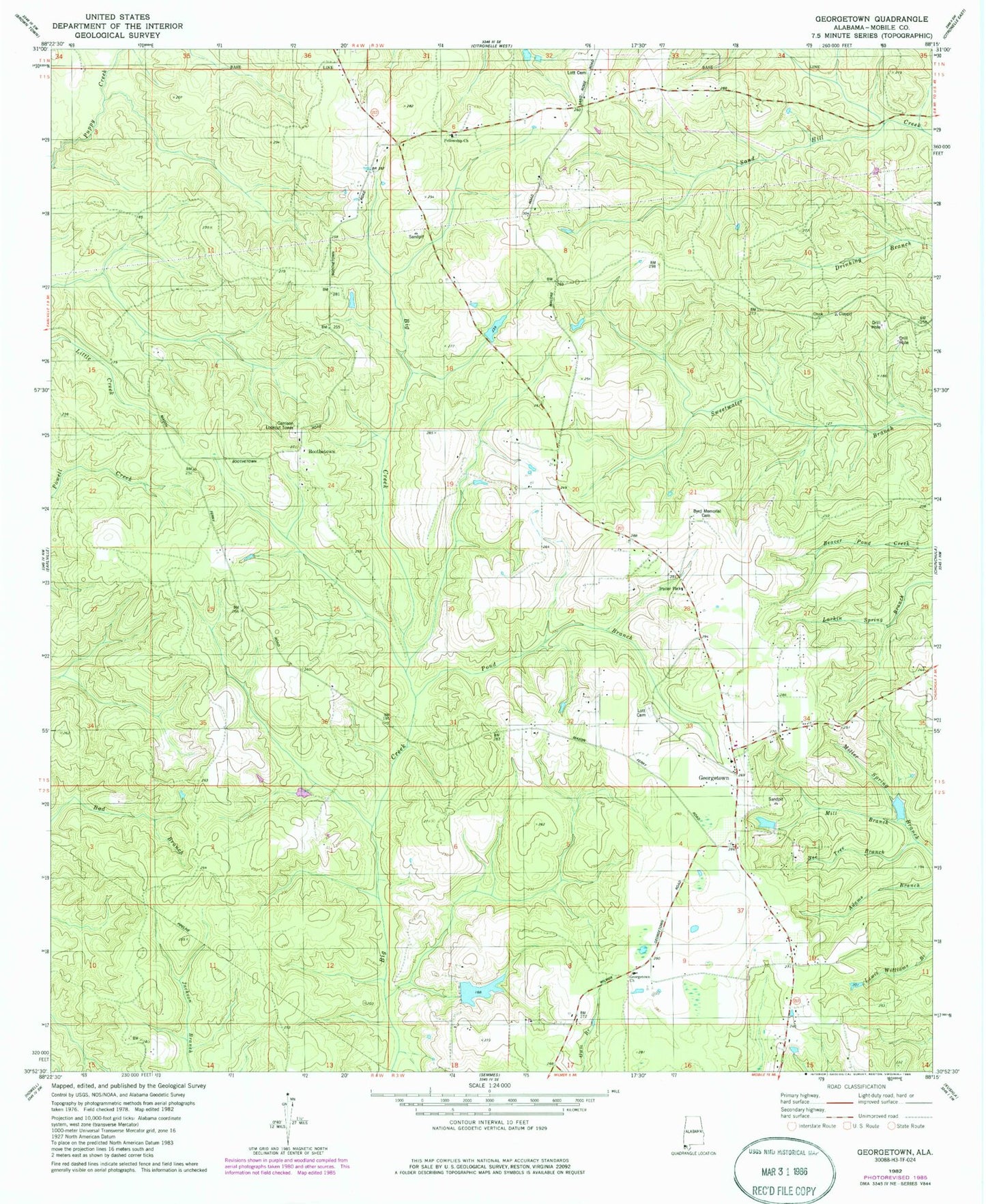
Historical USGS topographic quad map of Georgetown in the state of Alabama. Map scale may vary for some years, but is generally around 1:24,000. Print size is approximately 24" x 27"
This quadrangle is in the following counties: Mobile.
The map contains contour lines, roads, rivers, towns, and lakes. Printed on high-quality waterproof paper with UV fade-resistant inks, and shipped rolled.
Contains the following named places: Bad Branch, Bee Tree Branch, Boothetown, Byrd Memorial Cemetery, Fellowship Baptist Church Cemetery, Fellowship Church, Garrison Lookout Tower, Georgetown, Georgetown Baptist Church, Georgetown Church, Georgetown Fellowship Volunteer Fire Department Station 1, Georgetown Fellowship Volunteer Fire Department Station 2, Lott Cemetery, Mill Branch, Old Providence Cemetery, Pond Branch, R L Lambert Dam