MyTopo
Classic USGS Georgetown California 7.5'x7.5' Topo Map
Couldn't load pickup availability
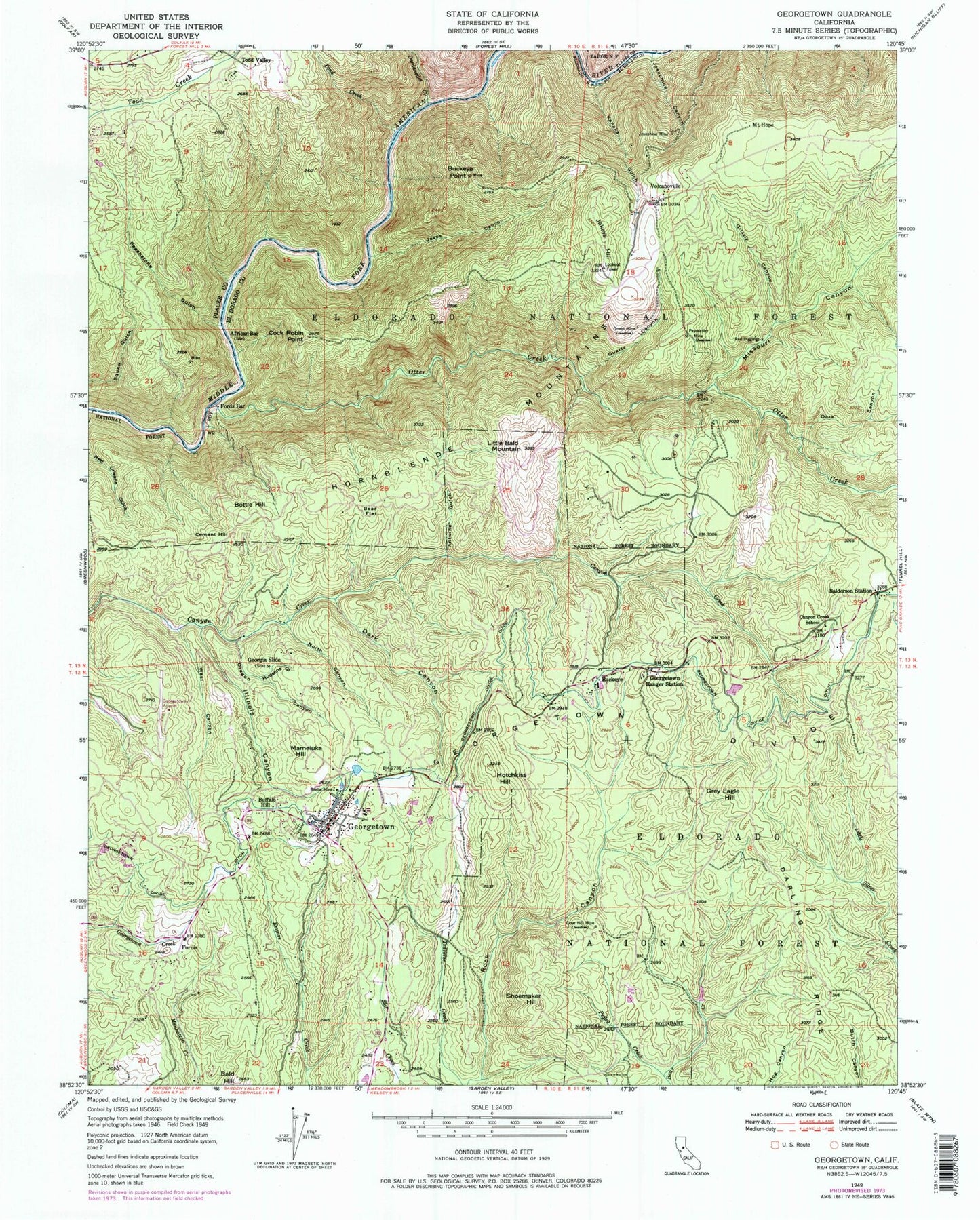
Historical USGS topographic quad map of Georgetown in the state of California. Typical map scale is 1:24,000, but may vary for certain years, if available. Print size: 24" x 27"
This quadrangle is in the following counties: El Dorado, Placer.
The map contains contour lines, roads, rivers, towns, and lakes. Printed on high-quality waterproof paper with UV fade-resistant inks, and shipped rolled.
Contains the following named places: Josephine Canyon, African Bar, Antwine Gulch, Bald Hill, Bear Flat, Beebe Mine, Buckeye Point, Canyon Creek School, Cock Robin Point, Cove Hill Mine, Dark Canyon, Dark Canyon, Darling Ridge, Fords Bar, Fornis, Georgetown Divide, Georgetown Divide Ditch, Georgetown Ranger Station, Georgia Slide, Green Mine, Grizzly Canyon, Hotchkiss Hill, Hudsons Gulch, Illinois Canyon, Jakeys Hill, Jesse Canyon, Josephine Mine, Kanaka Gulch, Little Bald Mountain, Missouri Canyon, Mount Hope, North Canyon, Oregon Canyon, Otter Creek, Paymaster Mine, Peachstone Gulch, Pegleg Creek, Pond Creek, Quartz Canyon, Red Diggings, Dardanelles Creek, Volcano Canyon, Volcanoville, West Canyon, Kitts Canyon, Gas Canyon, Lake Walton Campground, Lake Walton, Georgetown Airport, Balderson Station, Bottle Hill, Buckeye, Buffalo Hill, Cement Hill, Georgetown, Grey Eagle Hill, Mameluke Hill, Shoemaker Hill, Todd Valley, Georgetown Control 460-002 Dam, Divide Continuation High School, Georgetown Branch El Dorado County Library, Georgetown School Of Innovation, Georgetown Intermediate School, Georgetown Post Office, Growlersburg State Conservation Camp, Georgetown Census Designated Place, Georgetown Fire Department Station 61 Headquarters, Department of Forestry and Fire Protection Growlersburg Conservation Camp, Georgetown Fire Department Station 62 Buckeye, Todd Valley Cemetery, Georgetown Pioneer Cemetery


