
MyTopo
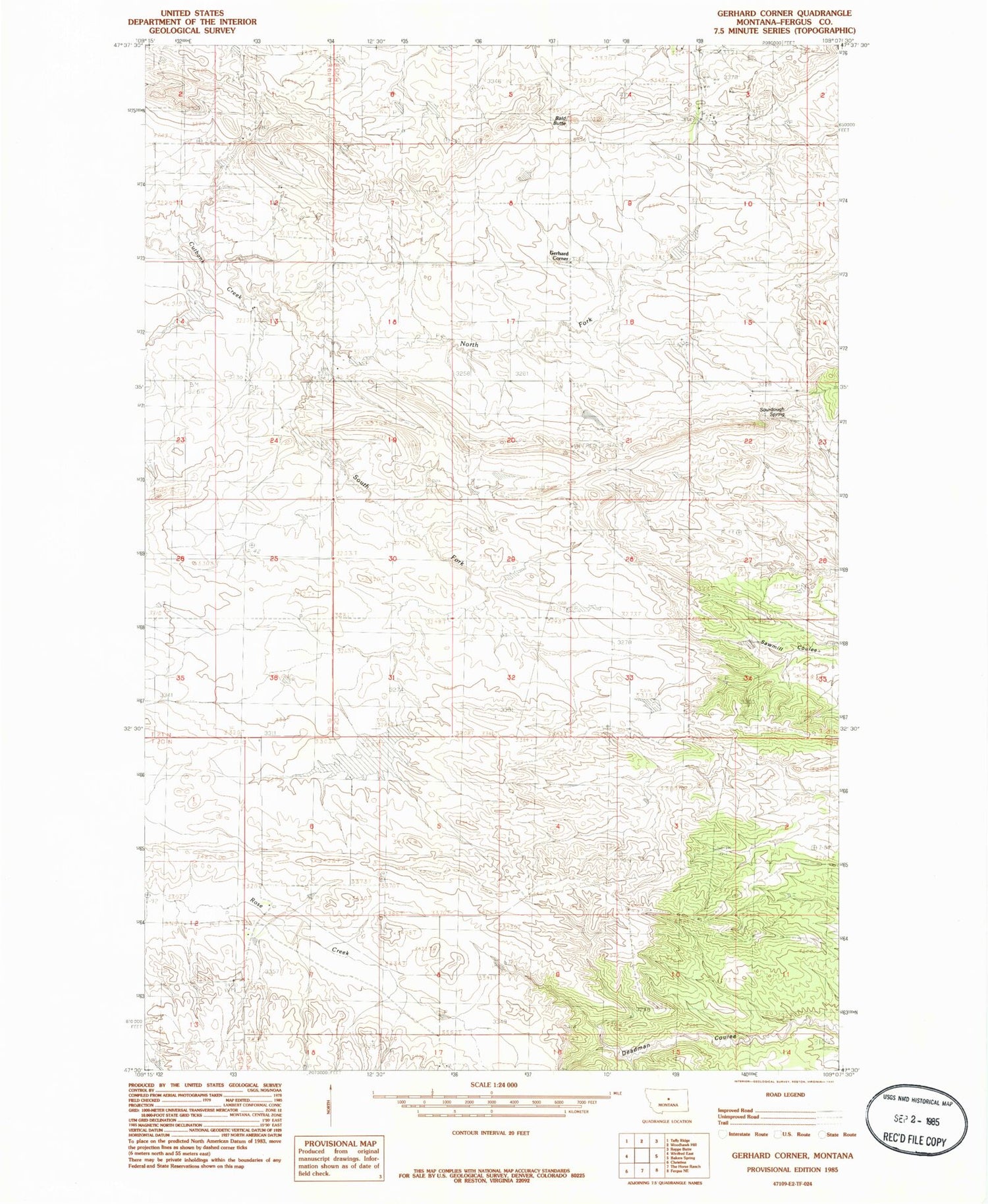
Classic USGS Gerhard Corner Montana 7.5'x7.5' Topo Map
Couldn't load pickup availability
Historical USGS topographic quad map of Gerhard Corner in the state of Montana. Map scale may vary for some years, but is generally around 1:24,000. Print size is approximately 24" x 27"
This quadrangle is in the following counties: Fergus.
The map contains contour lines, roads, rivers, towns, and lakes. Printed on high-quality waterproof paper with UV fade-resistant inks, and shipped rolled.
Contains the following named places: 20N20E17ABBD01 Well, 21N19E13BDD_01 Well, 59489, Bald Butte, Benes Bank Dam, East Cutbank School, Gerhard Corner, Gerhard Post Office, Gerhard School, North Fork Cutbank Creek, Number Two School, Robert Bold Number 1 Dam, Robert Bold Number 2 Dam, Sourdough Spring, South Fork Cutbank Creek, Taffy Ridge School


