MyTopo
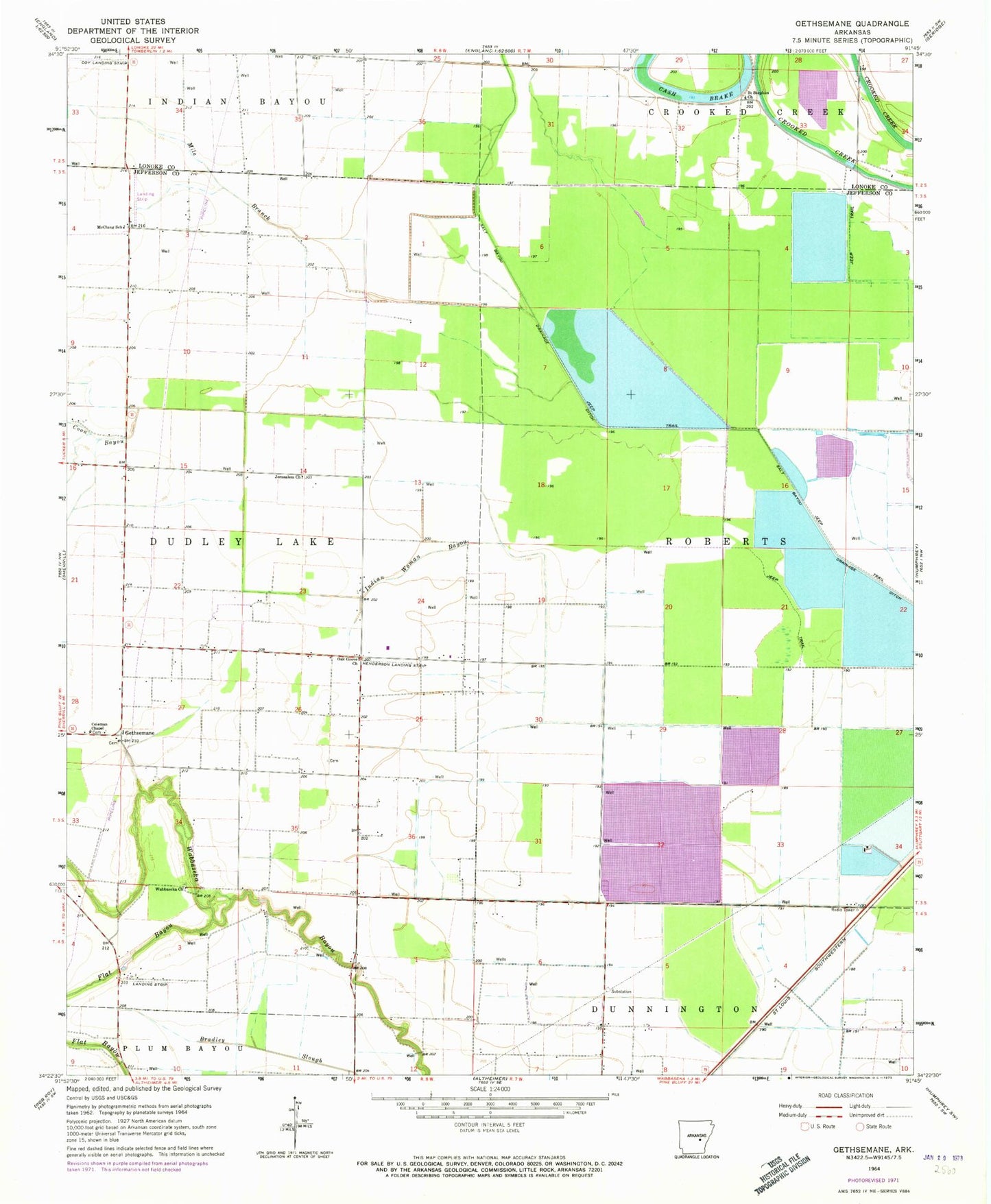
Classic USGS Gethsemane Arkansas 7.5'x7.5' Topo Map
Couldn't load pickup availability
Historical USGS topographic quad map of Gethsemane in the state of Arkansas. Map scale may vary for some years, but is generally around 1:24,000. Print size is approximately 24" x 27"
This quadrangle is in the following counties: Jefferson, Lonoke.
The map contains contour lines, roads, rivers, towns, and lakes. Printed on high-quality waterproof paper with UV fade-resistant inks, and shipped rolled.
Contains the following named places: Bogey School, Coburn Brake, Coleman Chapel, Coon Bayou, Coy Landing Strip, Diantha, Flat Bayou, Gethsemane, Gethsemane Church, Gethsemane School, Henderson Landing Strip, Indian Woman Bayou, Jerusalem Church, Jerusalem School, Lateral Number 8, Lateral Number 9, McClung School, Mile Branch, Oak Grove Church, Oak Grove School, Saint Lukes Church, Saint Stephen Church, Township of Roberts, Wabbaseka Church