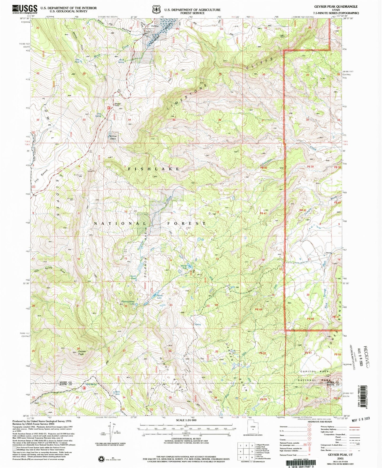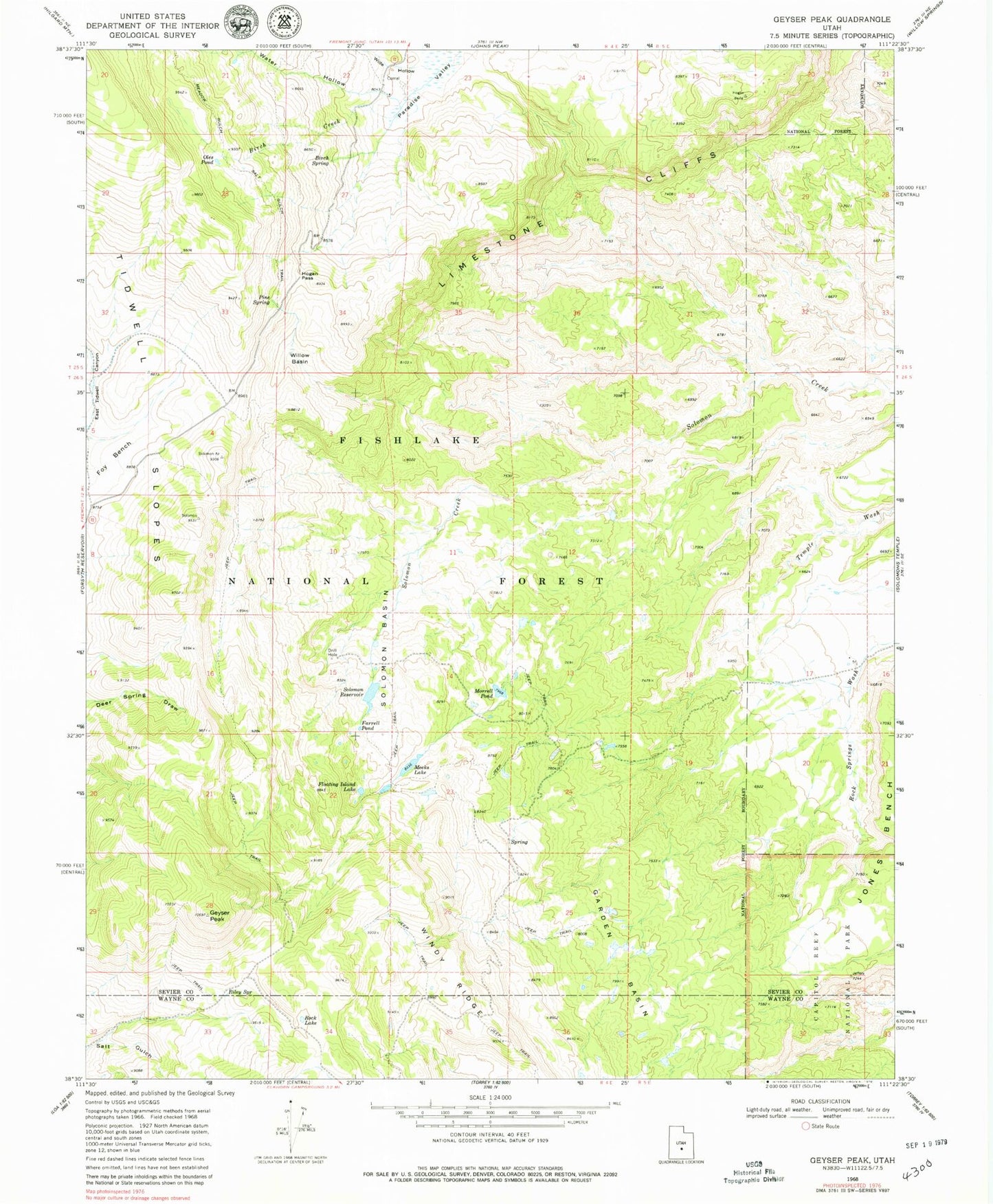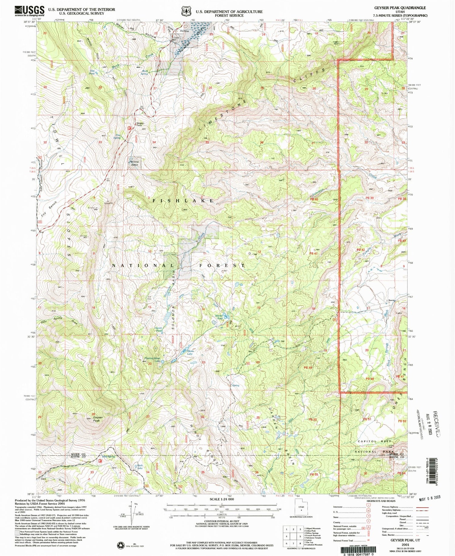

MyTopo
Classic USGS Geyser Peak Utah 7.5'x7.5' Topo Map
Couldn't load pickup availability
Historical USGS topographic quad map of Geyser Peak in the state of Utah. Map scale may vary for some years, but is generally around 1:24,000. Print size is approximately 24" x 27"
This quadrangle is in the following counties: Sevier, Wayne.
The map contains contour lines, roads, rivers, towns, and lakes. Printed on high-quality waterproof paper with UV fade-resistant inks, and shipped rolled.
Contains the following named places: Birch Creek, Birch Spring, Desert View Area, Farrell Pond, Floating Island Lake, Garden Basin, Geyser Peak, Hogan Pass, Jones Bench, Meadow Gulch Salt Gulch Trail, Meeks Lake, Morrell Pond, Oles Pond, Pine Spring, Riley Spring, Rock Lake, Solomon Basin, Solomon Reservoir, Water Hollow, Wide Hollow, Willow Basin, Windy Ridge