MyTopo
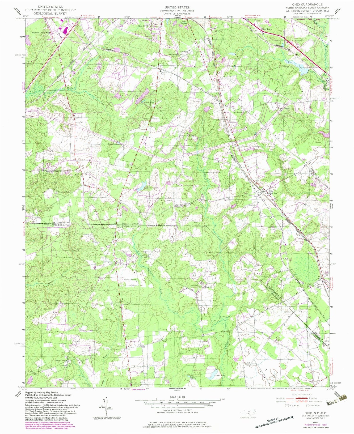
Classic USGS Ghio North Carolina 7.5'x7.5' Topo Map
Couldn't load pickup availability
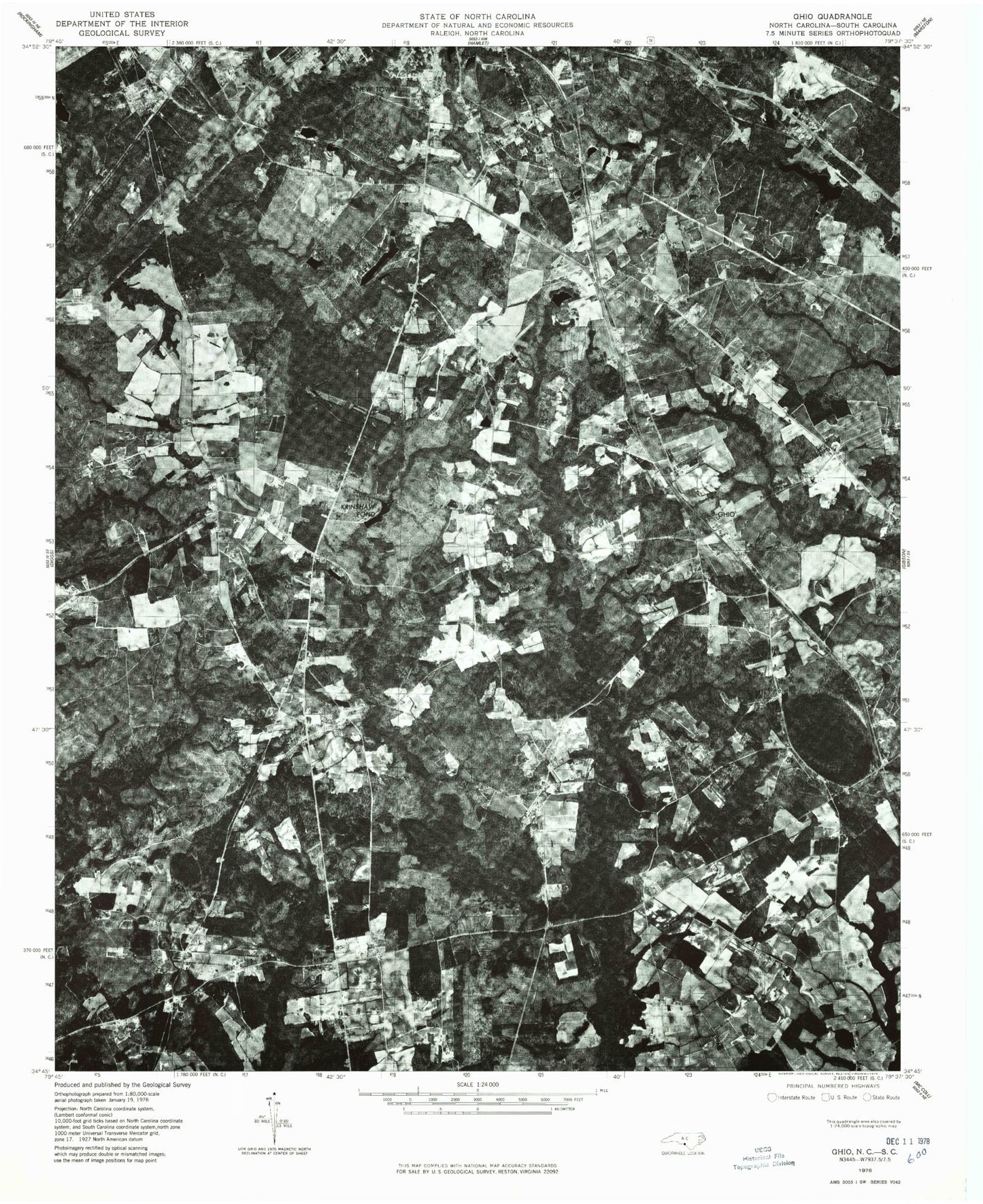
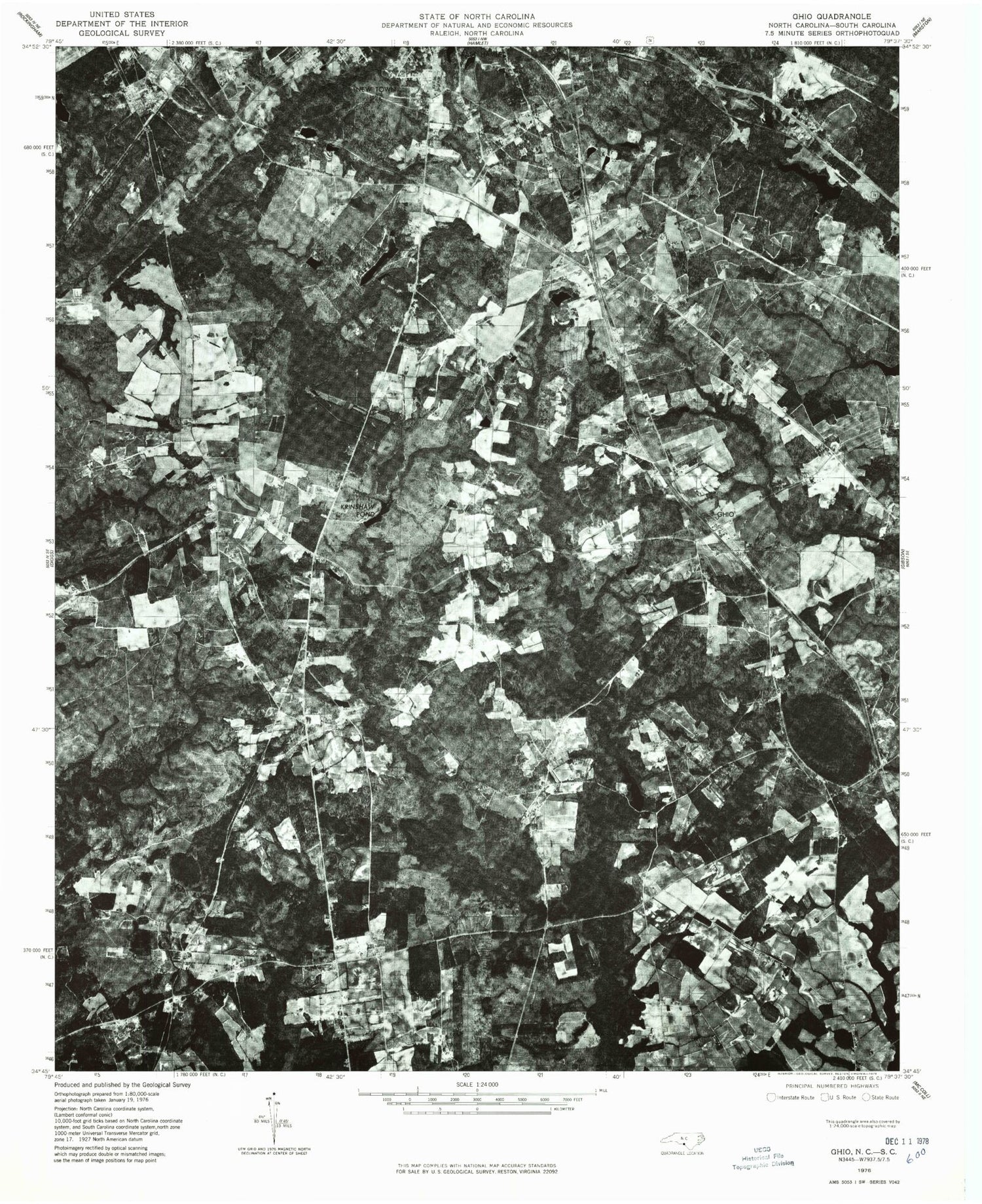
Historical USGS topographic quad map of Ghio in the states of North Carolina, South Carolina. Map scale may vary for some years, but is generally around 1:24,000. Print size is approximately 24" x 27"
This quadrangle is in the following counties: Marlboro, Richmond, Scotland.
The map contains contour lines, roads, rivers, towns, and lakes. Printed on high-quality waterproof paper with UV fade-resistant inks, and shipped rolled.
Contains the following named places: Aaron Temple Methodist Church, Aarons Temple, Barrington Cemetery, Battley Pond, Battley Pond Dam, Breedens Chapel, Brigman Cemetery, Camp Pee Dee Pond Number Two, Camp Pee Dee Pond Number Two Dam D-3435, English Cemetery, Ghio Scholl Station, Green Chapel, Green Chapel Cemetery, Green Pond, Green Pond Cemetery, Green Pond Church, Honeysucker Pond, Honeysucker Pond Dam D-2959, James Pond, James Pond Dam, Kingsbury Creek, Krinshaw Pond, Lightwood Knot Creek, Livingston Chapel, Moore Pond, Morrison Grove Cemetery, Morrison Grove Church, Morrison Grove School, Mount Moriah Cemetery, Mount Moriah Church, Nebo Cemetery, Nebo Church, Oak Ridge Cemetery, Oak Ridge Church, Oak Ridge School, Pate Lake Dam, Pate Pond, Pates Lake Number Two, Pates Lake Number Two Dam, Peele Cemetery, Pineville School, Prevatts Chapel, Quick Cemetery, Quicks Mill, Roscoe Pond, Scholl Cemetery, Seal Cemetery, Smith Cemetery, Spring Hill Church, Steen Town, Tabernacle Cemetery, Tabernacle Church, Terry Pond, Usher Pond, Waymon Chapel, Waymon Chapel Cemetery, Waymon Chapel School, Wilva Fruit Farm, ZIP Code: 28345