MyTopo
Classic USGS Ghost Hill Texas 7.5'x7.5' Topo Map
Regular price
$16.95
Regular price
Sale price
$16.95
Unit price
per
Couldn't load pickup availability
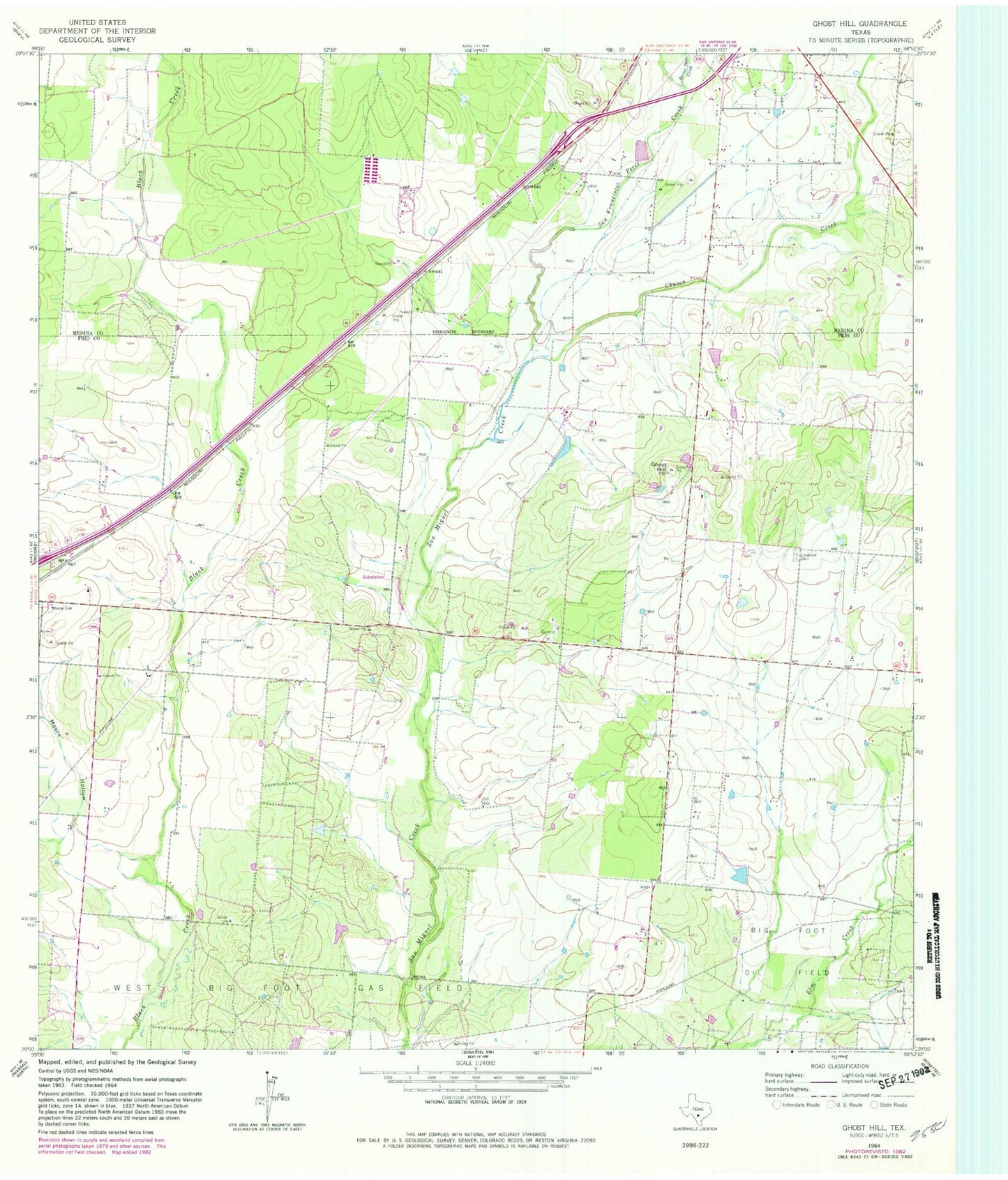
Historical USGS topographic quad map of Ghost Hill in the state of Texas. Map scale may vary for some years, but is generally around 1:24,000. Print size is approximately 24" x 27"
This quadrangle is in the following counties: Frio, Medina.
The map contains contour lines, roads, rivers, towns, and lakes. Printed on high-quality waterproof paper with UV fade-resistant inks, and shipped rolled.
Contains the following named places: Bigfoot Oil Field, Burnt Boot Creek, Chacon Creek, Cox Reservoir, Cox Reservoir Dam, Ghost Hill, Longview Cemetery, Moore Cemetery, Moore Division, Moore Hollow, San Francisco Perez Creek