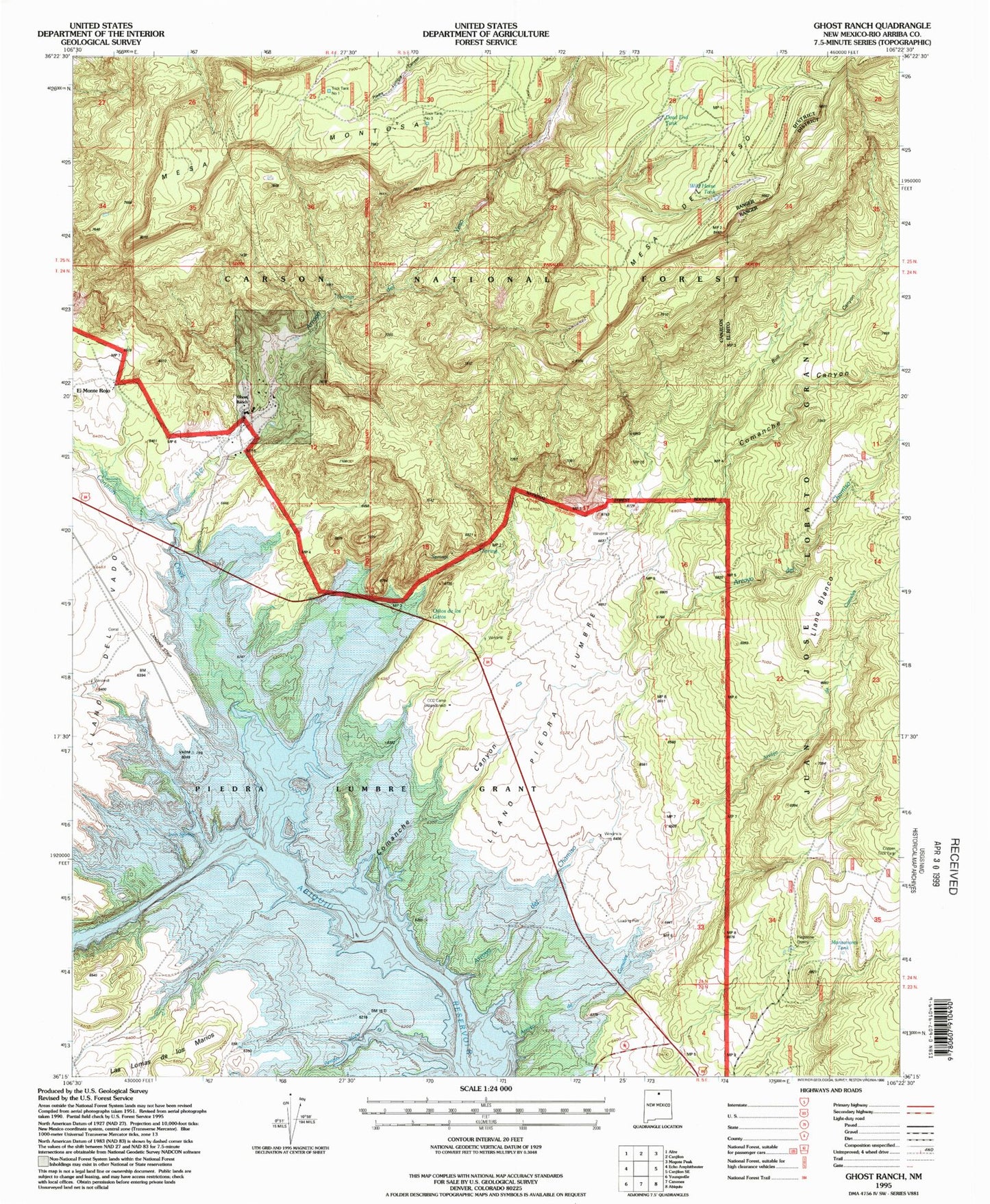
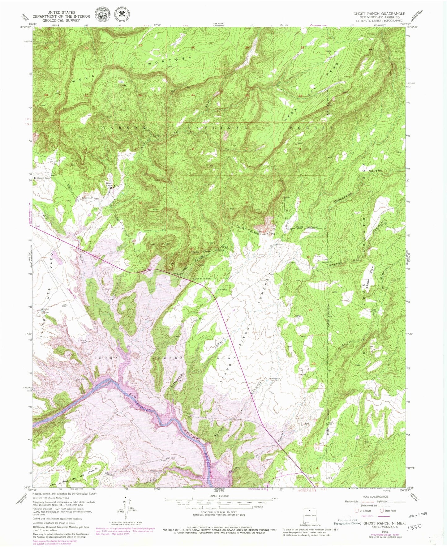
MyTopo
Classic USGS Ghost Ranch New Mexico 7.5'x7.5' Topo Map
Couldn't load pickup availability
Historical USGS topographic quad map of Ghost Ranch in the state of New Mexico. Map scale may vary for some years, but is generally around 1:24,000. Print size is approximately 24" x 27"
This quadrangle is in the following counties: Rio Arriba.
The map contains contour lines, roads, rivers, towns, and lakes. Printed on high-quality waterproof paper with UV fade-resistant inks, and shipped rolled.
Contains the following named places: Abiquiu Reservoir, Arroyo de Comales, Arroyo del Chamiso, Arroyo del Yeso, Arroyo Jaspe, Bull Canyon, Canjilon Creek, Cats Eye, CCC Camp, Comanche Canyon, Copper Trick Tank, Dead End Tank, El Monte Rojo, Florence Hawley Ellis Museum of Anthropology, Ghost Ranch, Ghost Ranch Strip Airport, Horny Toad Mine, Iron Spring, Llano Blanco, Llano Piedra Lumbre, Manzanares Tank, Mesa del Yeso, Ojitos de los Gatos, Piedra Lumbre Grant, Rio Chama Valley Gravels, Ruth Hall Museum of Paleontology, Six- 13- S Ext., Trick Tank Number One, Trick Tank Number Three, Wild Horse Tank, ZIP Code: 87510