MyTopo
Classic USGS Gibson Coulee Montana 7.5'x7.5' Topo Map
Regular price
$16.95
Regular price
Sale price
$16.95
Unit price
per
Couldn't load pickup availability
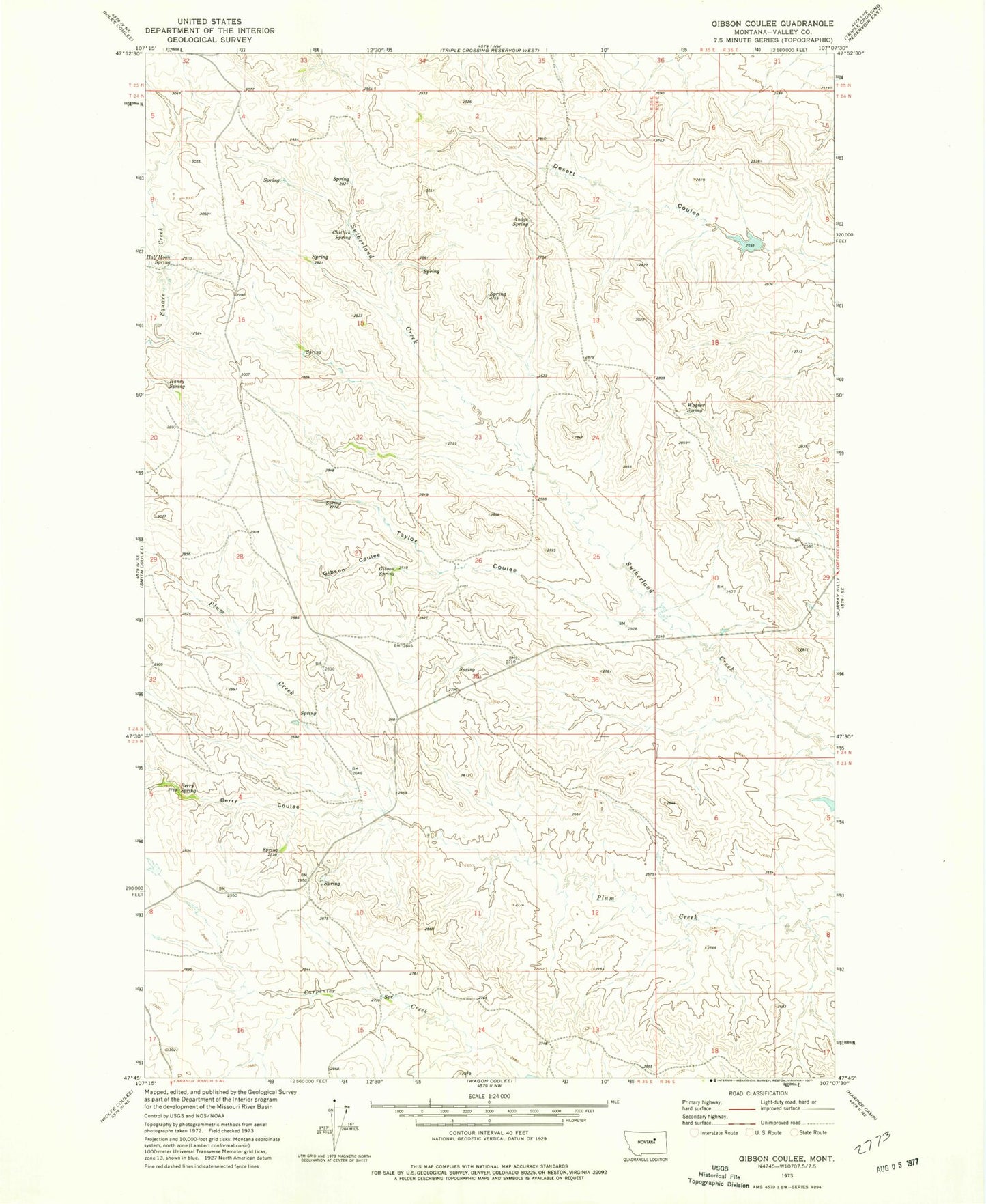
Historical USGS topographic quad map of Gibson Coulee in the state of Montana. Map scale may vary for some years, but is generally around 1:24,000. Print size is approximately 24" x 27"
This quadrangle is in the following counties: Valley.
The map contains contour lines, roads, rivers, towns, and lakes. Printed on high-quality waterproof paper with UV fade-resistant inks, and shipped rolled.
Contains the following named places: 23N35E10BCA_01 Spring, Andys Spring, Berry Coulee, Berry Spring, Chittick Spring, Gibson Coulee, Gibson Spring, Half Moon Spring, Haney Spring, Taylor Coulee, Wagner Spring, Willow Creek Upper South Fork Dam