MyTopo
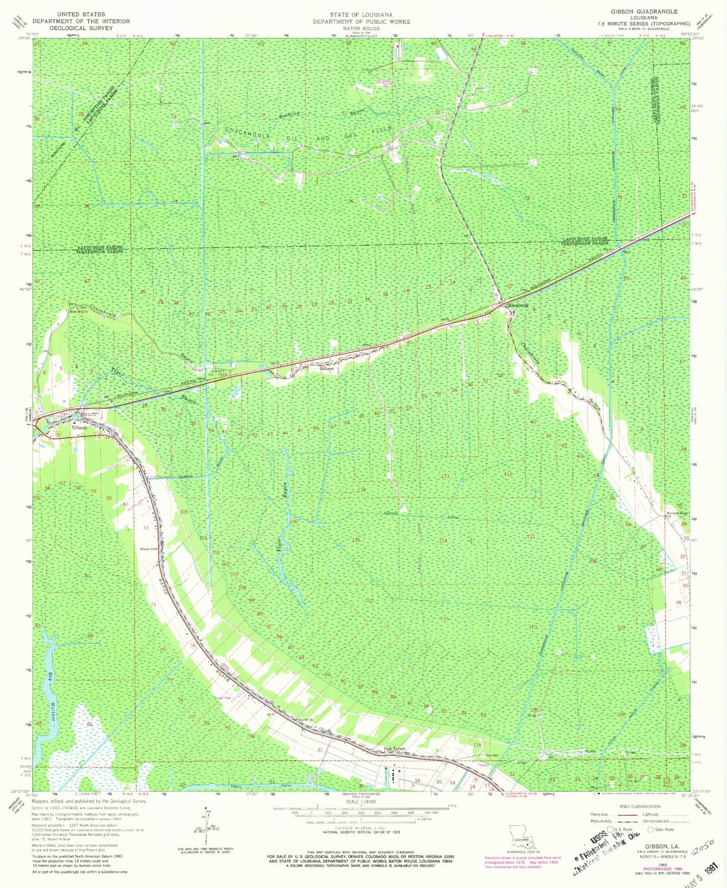
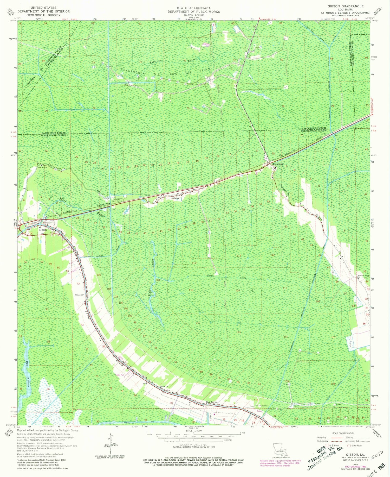
Classic USGS Gibson Louisiana 7.5'x7.5' Topo Map
Couldn't load pickup availability
Historical USGS topographic quad map of Gibson in the state of Louisiana. Map scale may vary for some years, but is generally around 1:24,000. Print size is approximately 24" x 27"
This quadrangle is in the following counties: Assumption, Lafourche, Terrebonne.
The map contains contour lines, roads, rivers, towns, and lakes. Printed on high-quality waterproof paper with UV fade-resistant inks, and shipped rolled.
Contains the following named places: Beulah Church, Bubbling Bayou, Buzzard Roost Church, Carte Rouge, Chacahoula, Chacahoula Bayou, Chacahoula Oil and Gas Field, Chapel of the Blessed, Circle G Mobile Home Park, District 8 Emergency Heliport, Donna Lynns Mobile Home Park, Donner, Donner Canal, Donner Chacahoula Volunteer Fire Department, Donner Oil Field, East Donner Gas Field, Gibson, Gibson Church, Gibson East Volunteer Fire Department, Gibson Elementary School, Gibson Post Office, Gibson Volunteer Fire and Rescue, Harvest Fields Community Church, Oak Forest, Parish Governing Authority District 2, Parish Governing Authority District O, Petersville School, Ringo Cocke Canal, Rose Hill Church, Saint Lawrence Catholic Church, Shell Canal, Shell Pipe Line Gibson Heliport, Terrebonne Lafourche Drainage Canal, Terrebonne Parish Library Gibson Branch, Tiger Bayou, Ward Eight, ZIP Codes: 70352, 70356


