MyTopo
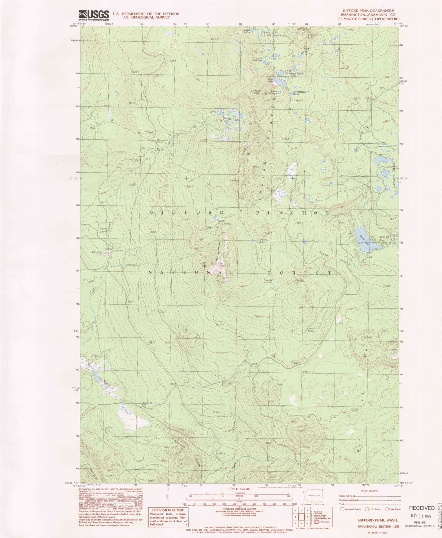
Classic USGS Gifford Peak Washington 7.5'x7.5' Topo Map
Couldn't load pickup availability
Historical USGS topographic quad map of Gifford Peak in the state of Washington. Typical map scale is 1:24,000, but may vary for certain years, if available. Print size: 24" x 27"
This quadrangle is in the following counties: Skamania.
The map contains contour lines, roads, rivers, towns, and lakes. Printed on high-quality waterproof paper with UV fade-resistant inks, and shipped rolled.
Contains the following named places: Berry Mountain, Black Creek Forest Camp, Blue Lake, East Crater, East Crater Trail, Forlorn Lakes, Gifford Peak, Goose Lake, Indian Heaven, Little Rock Lake, Racetrack, Racetrack Forest Camp, Red Mountain, Rock Lake, Lake Sahalee Tyee, Lake Sebago, Sheep Lakes, Spring Camp, Spring Creek, The Wart, Lake Toke Tie, Tombstone Lake, Lake Umtux, Indian Race Track, Green Lake, Basin Lakes, Goose Lake Campground, Forlorn Lakes Campground, Falls Creek Horse Camp, Crest Camp, Darlene Lake, Janet Lake, Peggy Lake, Red Mountain Lookout, Race Track Lakes, Naha Lake


