MyTopo
Classic USGS Gifford Missouri 7.5'x7.5' Topo Map
Couldn't load pickup availability
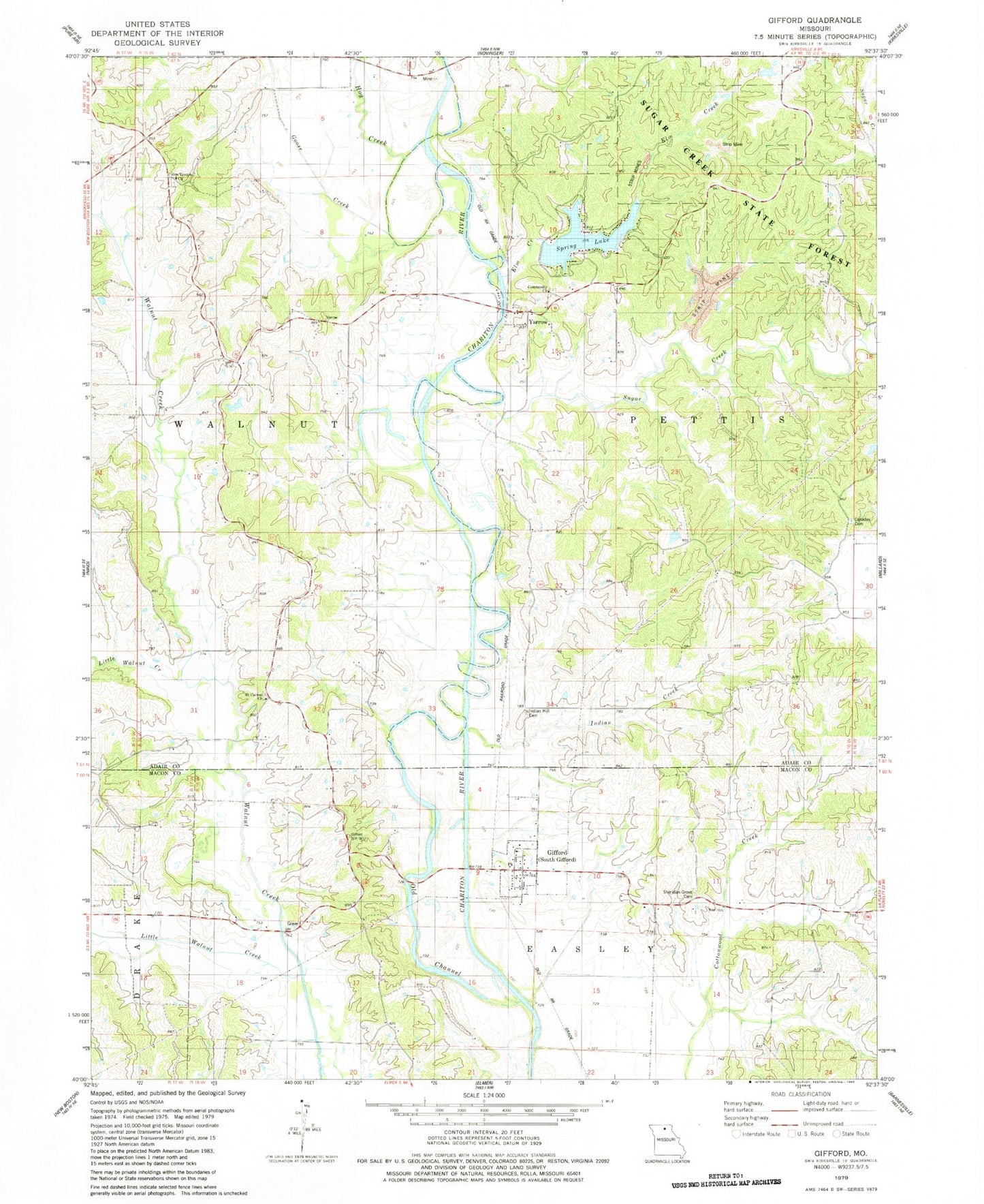
Historical USGS topographic quad map of Gifford in the state of Missouri. Map scale may vary for some years, but is generally around 1:24,000. Print size is approximately 24" x 27"
This quadrangle is in the following counties: Adair, Macon.
The map contains contour lines, roads, rivers, towns, and lakes. Printed on high-quality waterproof paper with UV fade-resistant inks, and shipped rolled.
Contains the following named places: Airway Beacon, Canaday Cemetery, Community Church, Curtis School, Easley School, Elm Creek, Gifford, Goose Creek, Hays School, Hog Creek, Indian Creek, Indian Hill Cemetery, Lindersville, Lindersville Post Office, Little Walnut Creek, Lone Star School, Mount Carmel Church, Mount Zion School, Sheridan Grove Cemetery, Simler, Southwestern Adair County Rural Fire District Station 2, Spring Lake, Spring Lake Dam, Sugar Creek, Sugar Creek School, Sugar Creek State Forest, Union Temple, Village of South Gifford, Yarrow