MyTopo
Classic USGS Gift Tennessee 7.5'x7.5' Topo Map
Couldn't load pickup availability
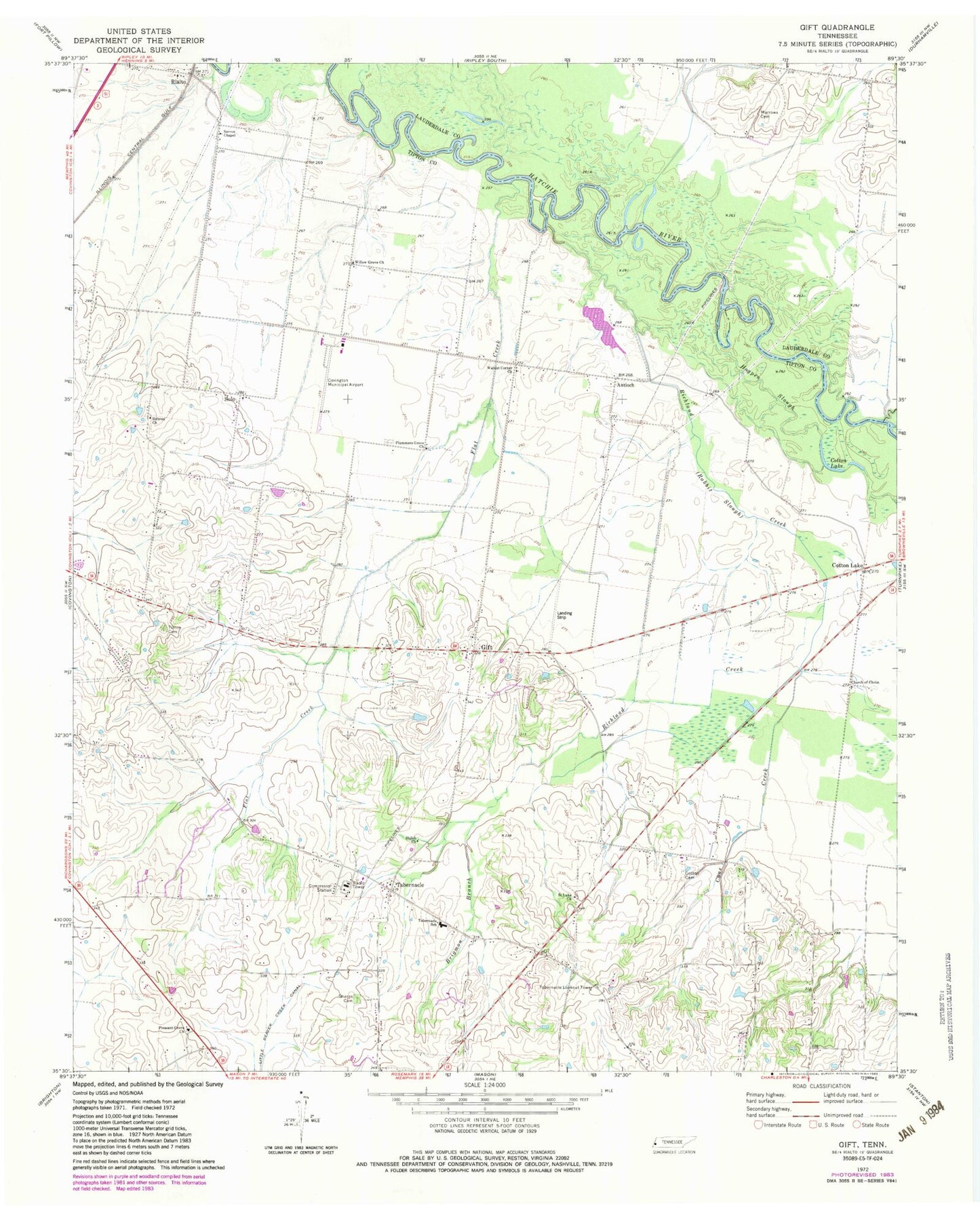
Historical USGS topographic quad map of Gift in the state of Tennessee. Map scale may vary for some years, but is generally around 1:24,000. Print size is approximately 24" x 27"
This quadrangle is in the following counties: Haywood, Lauderdale, Tipton.
The map contains contour lines, roads, rivers, towns, and lakes. Printed on high-quality waterproof paper with UV fade-resistant inks, and shipped rolled.
Contains the following named places: Antioch, Antioch Church, Antioch School, Brigmon Branch, Cane Creek, Church of Christ, Commissioner District 1, Commissioner District 2, Cotton Cemetery, Cotton Lake, Cotton Lake Church, Cotton Lake School, Covington Municipal Airport, Flat Creek, Gift, Hebron Church, Hogpen Slough, Lagoon Creek, Marrows Cemetery, Pleasant Grove Church, Plumer Grove School, Plummers Grove Church, Rialto, Rialto Industrial Park, Rialto School, Richland Creek, Saint Luke Church, Sharps Cemetery, Shiloh Church, Solo, Steven Chapel, Tabernacle, Tabernacle Division, Tabernacle Lookout Tower, Tabernacle School, Thurmond Glenn Field, Tipton Cemetery, Walnut Corner Church, Willow Grove Church


