MyTopo
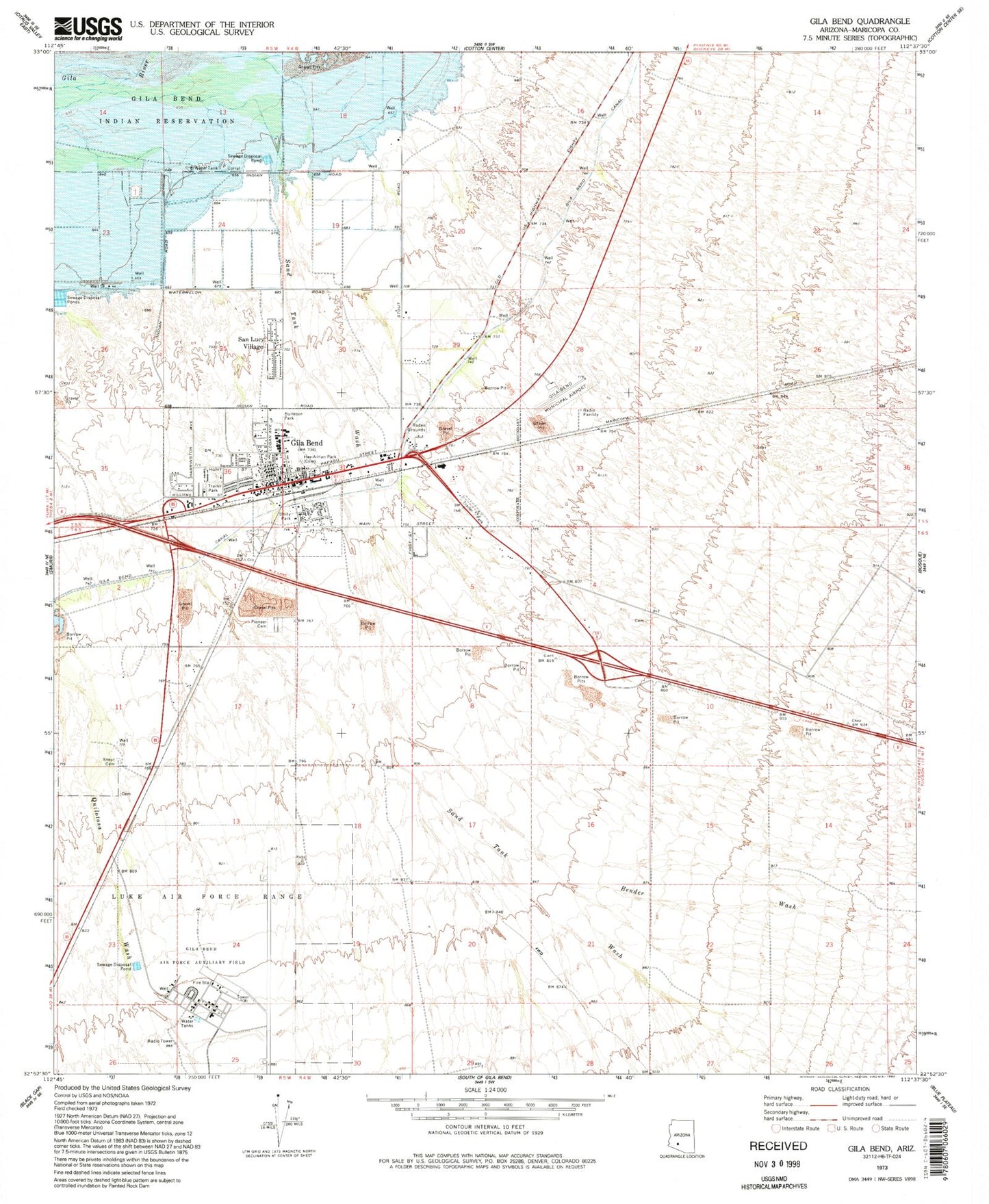
Classic USGS Gila Bend Arizona 7.5'x7.5' Topo Map
Couldn't load pickup availability
Historical USGS topographic quad map of Gila Bend in the state of Arizona. Map scale may vary for some years, but is generally around 1:24,000. Print size is approximately 24" x 27"
This quadrangle is in the following counties: Maricopa.
The map contains contour lines, roads, rivers, towns, and lakes. Printed on high-quality waterproof paper with UV fade-resistant inks, and shipped rolled.
Contains the following named places: Arizona Highway Maintenance Gila Bend Yard, Augie's Quail Trail Recreational Vehicle Resort, Bender Wash, Burleson Park, Coledon, Faith Assembly of God, First Baptist Church, Gatlin Site, Gila Bend, Gila Bend Air Force Auxiliary Airport, Gila Bend District, Gila Bend Elementary School, Gila Bend High School, Gila Bend Municipal Airport, Gila Bend Post Office, Gila Bend Railroad Station, Gila Bend Town Hall, Hee - A - Han Park Cemetery, Hunts Airport, Kiser Elementary School, Maricopa County Library District Gila Bend Branch, Maricopa Sheriff's Office Gila Bend Substation, Pioneer Cemetery, Rest Area One-hundred Twenty-nine MP, San Lucy Village, Sand Tank Wash, Sil Murk, Sonoran Desert, Stout Cemetery, The Church of Jesus Christ of Latter Day Saints, Town of Gila Bend, Unity Park, ZIP Code: 85337


