MyTopo
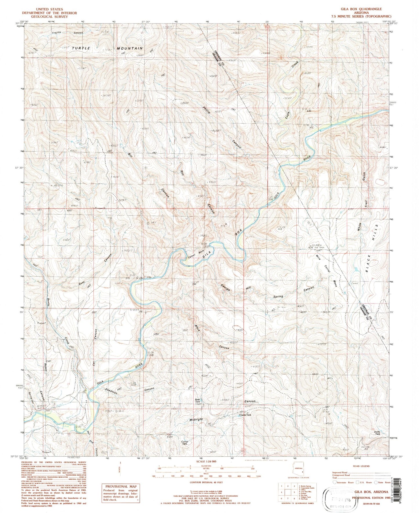
Classic USGS Gila Box Arizona 7.5'x7.5' Topo Map
Couldn't load pickup availability
Historical USGS topographic quad map of Gila Box in the state of Arizona. Typical map scale is 1:24,000, but may vary for certain years, if available. Print size: 24" x 27"
This quadrangle is in the following counties: Graham, Greenlee.
The map contains contour lines, roads, rivers, towns, and lakes. Printed on high-quality waterproof paper with UV fade-resistant inks, and shipped rolled.
Contains the following named places: Baker Canyon, Bill Canyon, Black Canyon, Bonita Creek, Camel Back, Cat Canyon, Corner Tank, Coyote Tank, Deadman Canyon, George Hill Spring Canyon, Gila Box, Goat Canyon, Midnight Canyon, Phillip Canyon, Rail End Canyon, River Tank, Roy Canyon, Spring Canyon, White Trail Gulch, Wire Corral Mesa, Zorilla Tank, White Trail Gulch, Camelsback Lake, Eagle Creek, East Fork Potato Patch Draw