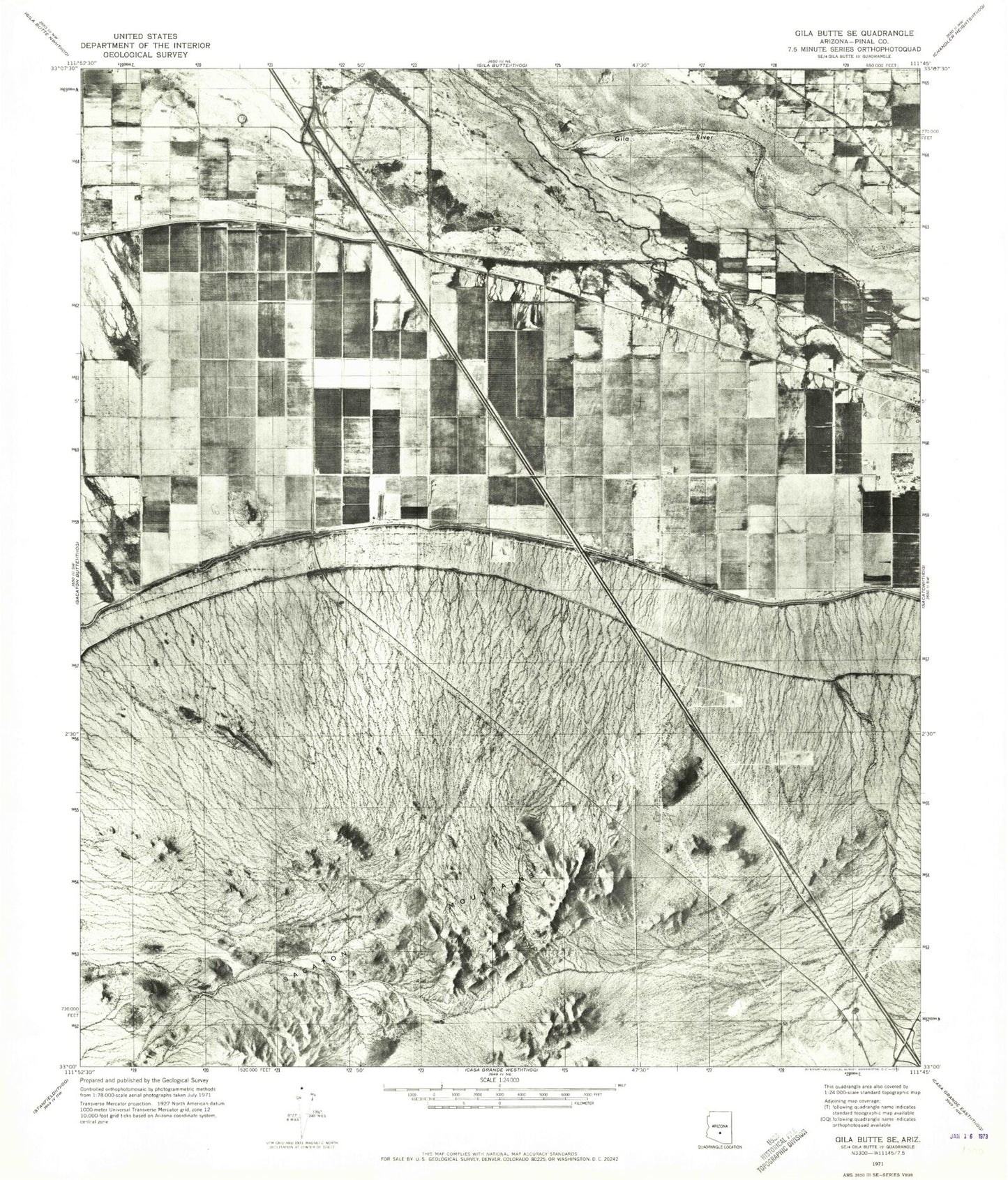
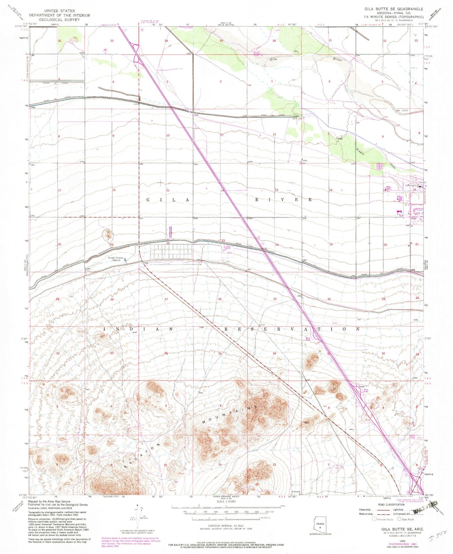
MyTopo
Classic USGS Gila Butte SE Arizona 7.5'x7.5' Topo Map
Couldn't load pickup availability
Historical USGS topographic quad map of Gila Butte SE in the state of Arizona. Map scale may vary for some years, but is generally around 1:24,000. Print size is approximately 24" x 27"
This quadrangle is in the following counties: Pinal.
The map contains contour lines, roads, rivers, towns, and lakes. Printed on high-quality waterproof paper with UV fade-resistant inks, and shipped rolled.
Contains the following named places: Burns, District 3, Gila Reservation Career Center, Gila River Division, Gila River Health Care Hu Hu Kam Memorial Hospital, Gila River Indian Community Fire Department Station 423 Sacaton, Gila River Police Department, Gila River Relocation Center, Indian Health Service Regional Treatment Center, Pima Hospital, Sacaton Census Designated Place, Sacaton Elementary School, Sacaton Middle School, Sacaton Mountains