MyTopo
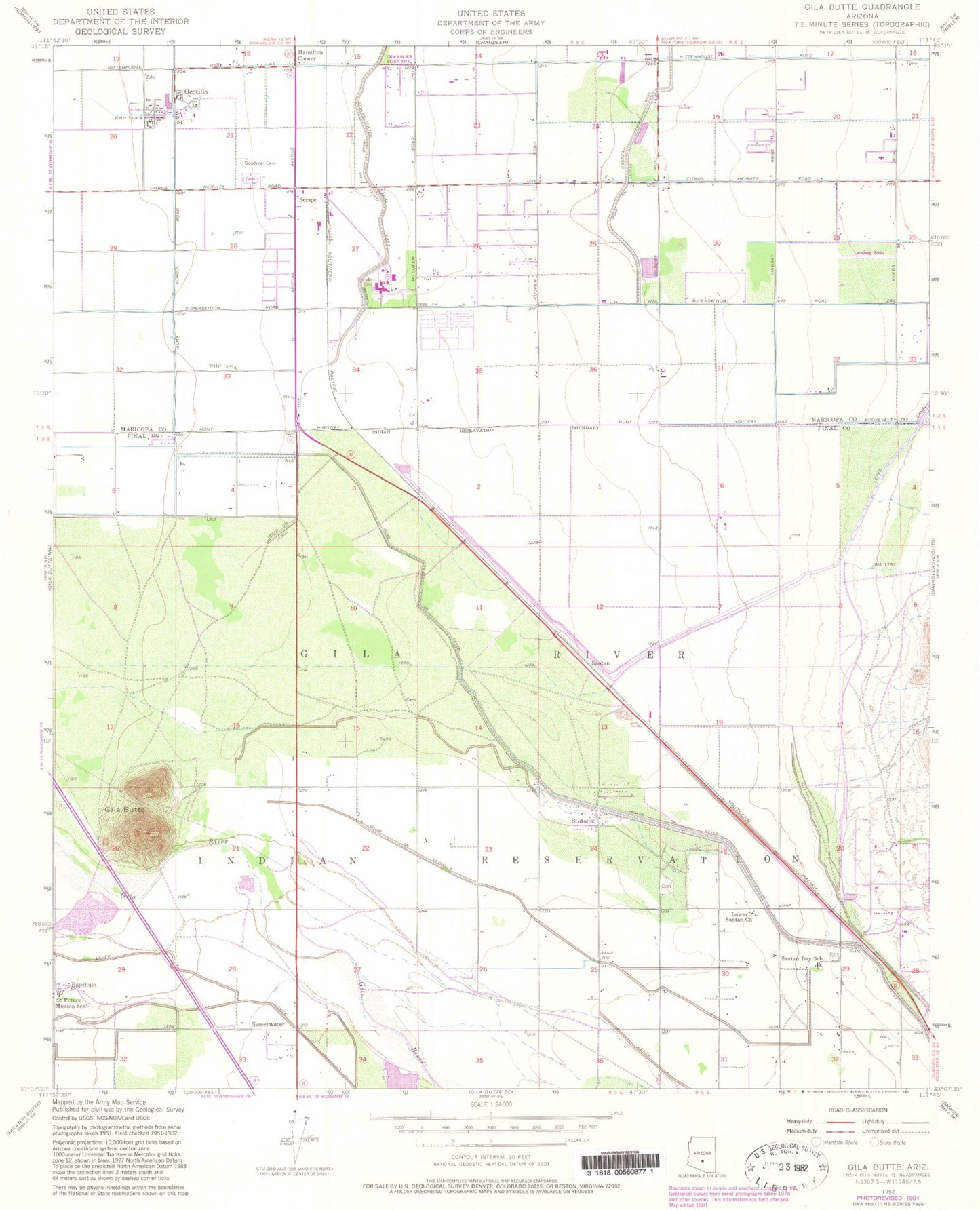
Classic USGS Gila Butte Arizona 7.5'x7.5' Topo Map
Couldn't load pickup availability
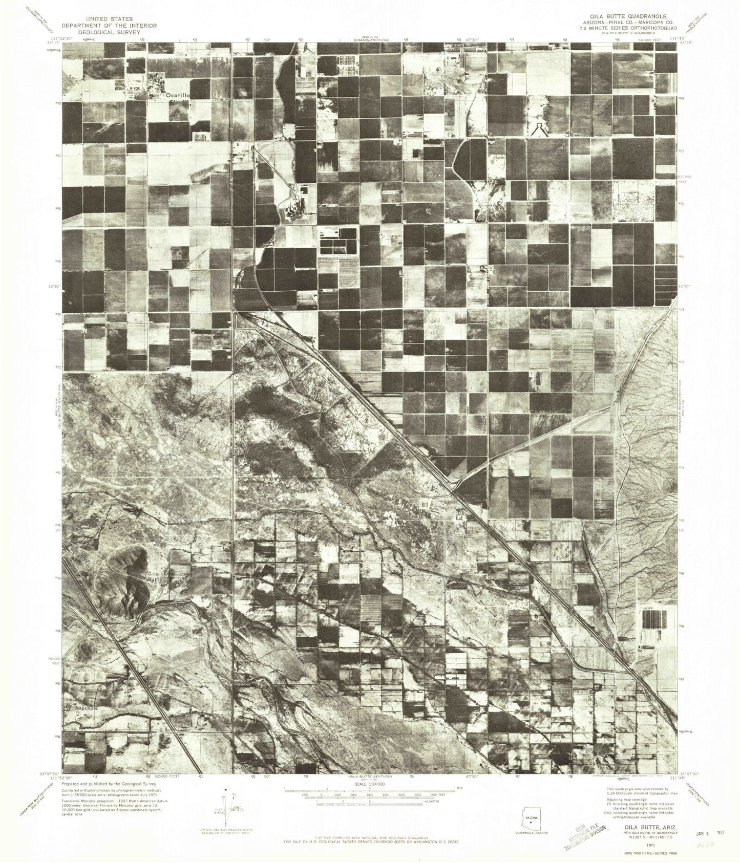
Historical USGS topographic quad map of Gila Butte in the state of Arizona. Map scale may vary for some years, but is generally around 1:24,000. Print size is approximately 24" x 27"
This quadrangle is in the following counties: Maricopa, Pinal.
The map contains contour lines, roads, rivers, towns, and lakes. Printed on high-quality waterproof paper with UV fade-resistant inks, and shipped rolled.
Contains the following named places: Bapchule, Basha High School, Bear Creek Golf Complex, Chandler Environmental Education Center at Veterans Oasis Park, Chandler Fire Department Station 10, Chandler Fire Department Station 7, Chandler Police Department Chandler Heights Substation, Chandler Public Library Basha Branch, Chandler Traditional Academy - Independence, Cottonwood Country Club Golf Course, Desert Palms Presbyterian Church, District 4, Fulton Elementary School, Gila Butte, Goodyear - Ocotillo Cemetery, Goodyear Village Census Designated Place, Hamilton Aquatic Center, Hamilton Corner, Hull Elementary School, Ironwood Golf Club, Jane D Hull Elementary School, Jeppesen Ranch Heliport, Lone Tree Golf Club, Lower Santan Church, Lower Santan Village Census Designated Place, McQueen Road Baptist Church, Mesquite Groves Aquatic Center, Navarrete Elementary School, Oakwood Golf Club, Ocotillo, Ocotillo Post Office, Palo Verde Country Club, Risen Savior Lutheran Church, Ryan Elementary School, Saint Peter Indian Mission School, Santan, Santan Census Designated Place, Santan Day School, Santan Elementary School, Santan Junior High School, Santan Railroad Station, Serape, Serape Railroad Station, Snedigar Recreation Center, Springfield Golf Resort, Stotonic, Stotonic Village Census Designated Place, Sun Lakes Census Designated Place, Sun Lakes Fire District Station 232, SunBird Golf Club, Sweet Water Village Census Designated Place, Sweetwater, The Church of Jesus Christ of Latter Day Saints, Valley of the Sun Cemetery, Village at Ocotillo Assisted Living Center, ZIP Codes: 85248, 85249