MyTopo
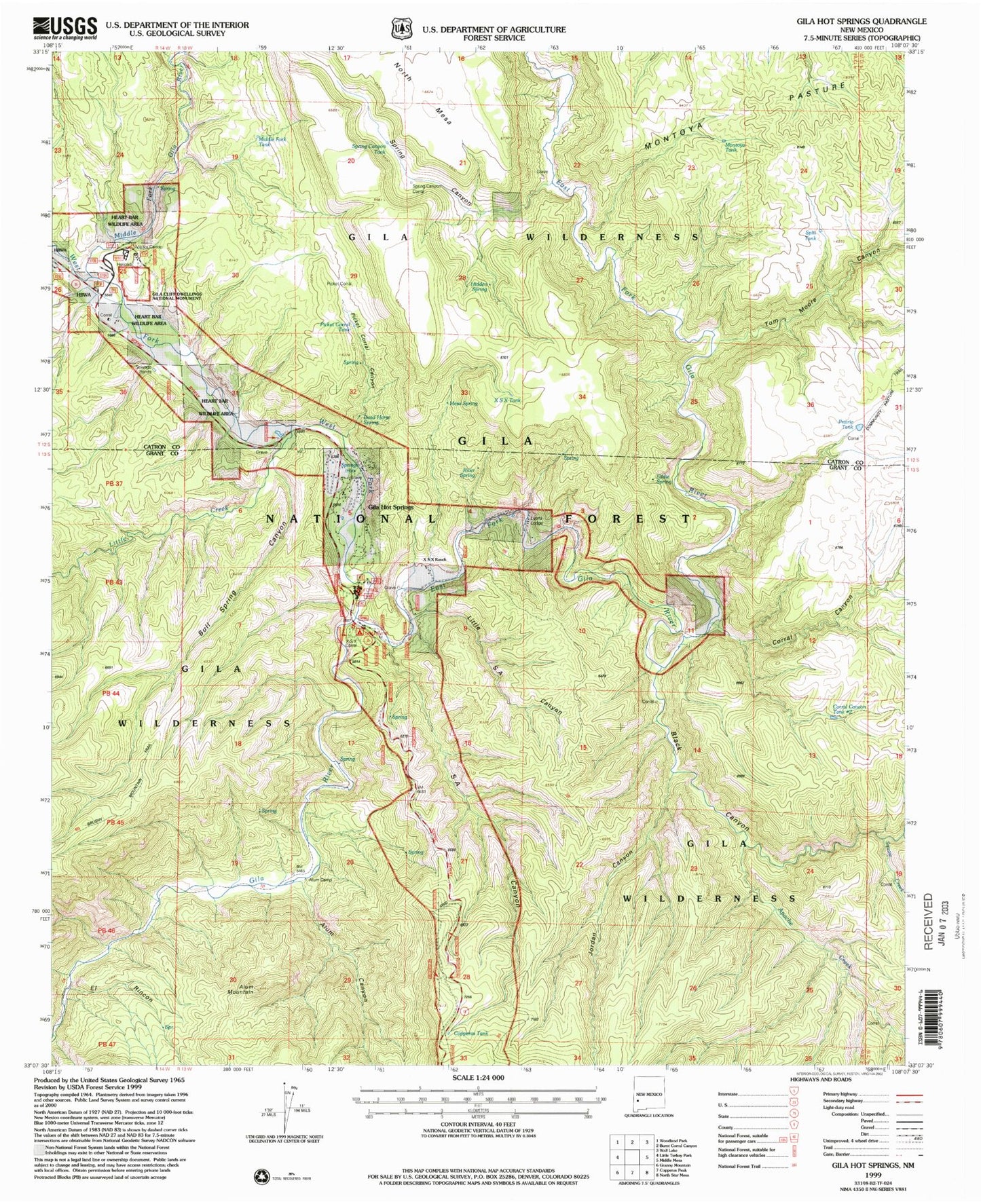
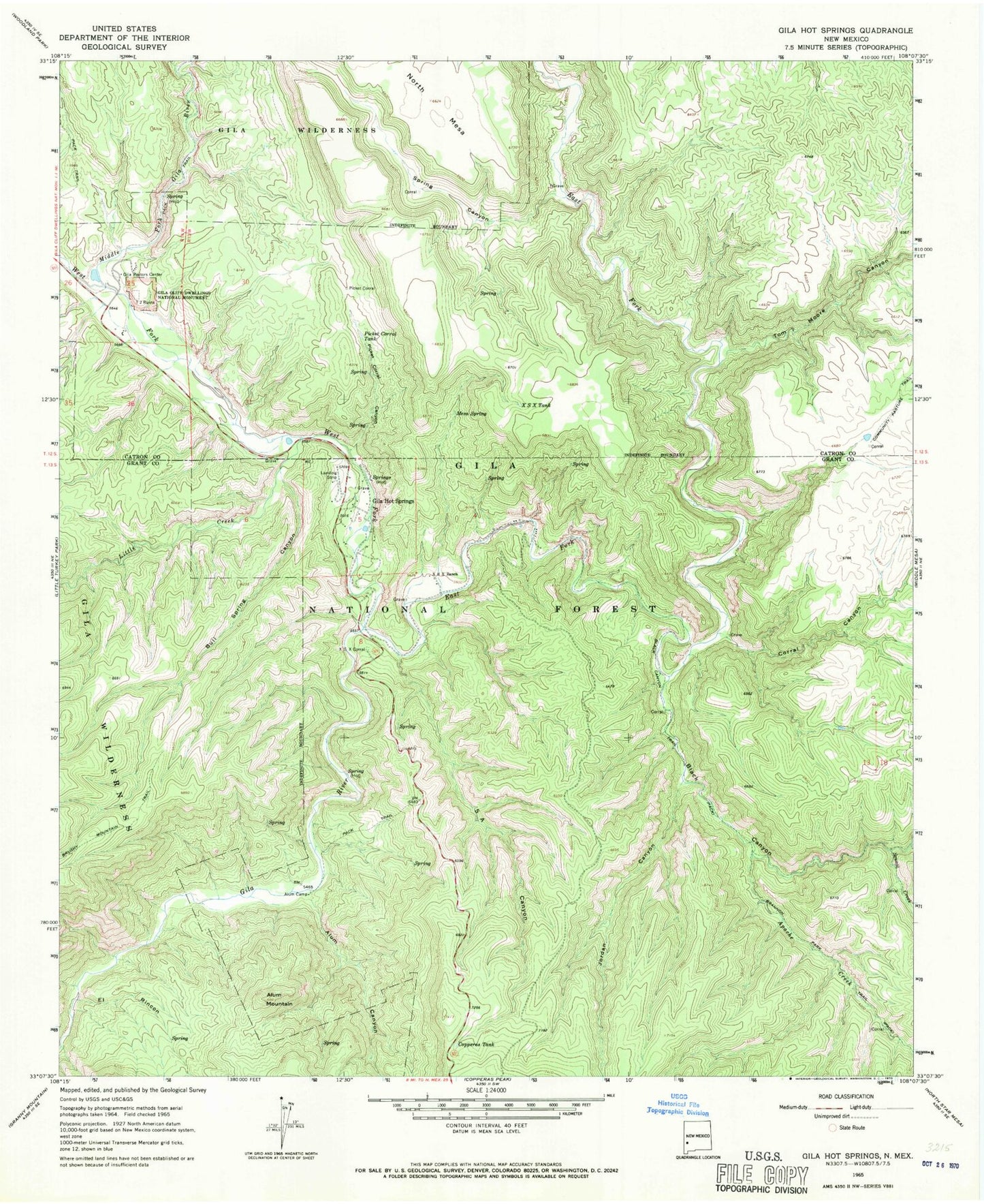
Classic USGS Gila Hot Springs New Mexico 7.5'x7.5' Topo Map
Couldn't load pickup availability
Historical USGS topographic quad map of Gila Hot Springs in the state of New Mexico. Typical map scale is 1:24,000, but may vary for certain years, if available. Print size: 24" x 27"
This quadrangle is in the following counties: Catron, Grant.
The map contains contour lines, roads, rivers, towns, and lakes. Printed on high-quality waterproof paper with UV fade-resistant inks, and shipped rolled.
Contains the following named places: Little SA Canyon, Middle Fork Tank, Spring Canyon Tank, Spring Canyon Corral, Montoya Tank, Wilderness District Ranger Office, Corral Canyon Tank, Eddie Spring, River Spring, Forks Recreation Site, Split Tank, Prarie Tank, Hidden Spring, Dead Horse Spring, Alum Canyon, Alum Mountain, Apache Creek, Black Canyon, Black Canyon Trail, Bull Spring Canyon, Copperas Tank, Corral Canyon, East Fork Gila River, El Rincon, Gila Hot Springs, Gila Vistors Center, Jordan Canyon, Little Creek, Mesa Spring, Middle Fork Gila River, Picket Corral, Picket Corral Canyon, Picket Corral Tank, SA Canyon, Spring Canyon, Squaw Creek, Tom Moore Canyon, West Fork Gila River, X S X Ranch, X S X Tank, Alunogen Tunnel Number 1, Alunogen Tunnel Number 4, Geothermal Test Well, Gila Hot Springs, Alum Camp, X S X Corral, Lyons Hunting Lodge Hot Spring, Grapevine Recreation Site, Bull Spring, Montoya Pasture, Wilderness Ranger District, Black Canyon Creek, Gila Hot Springs Census Designated Place


