MyTopo
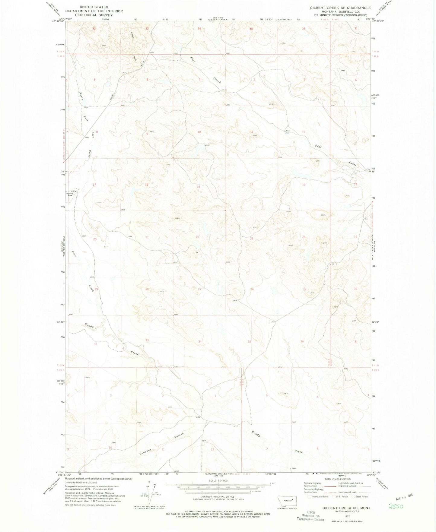
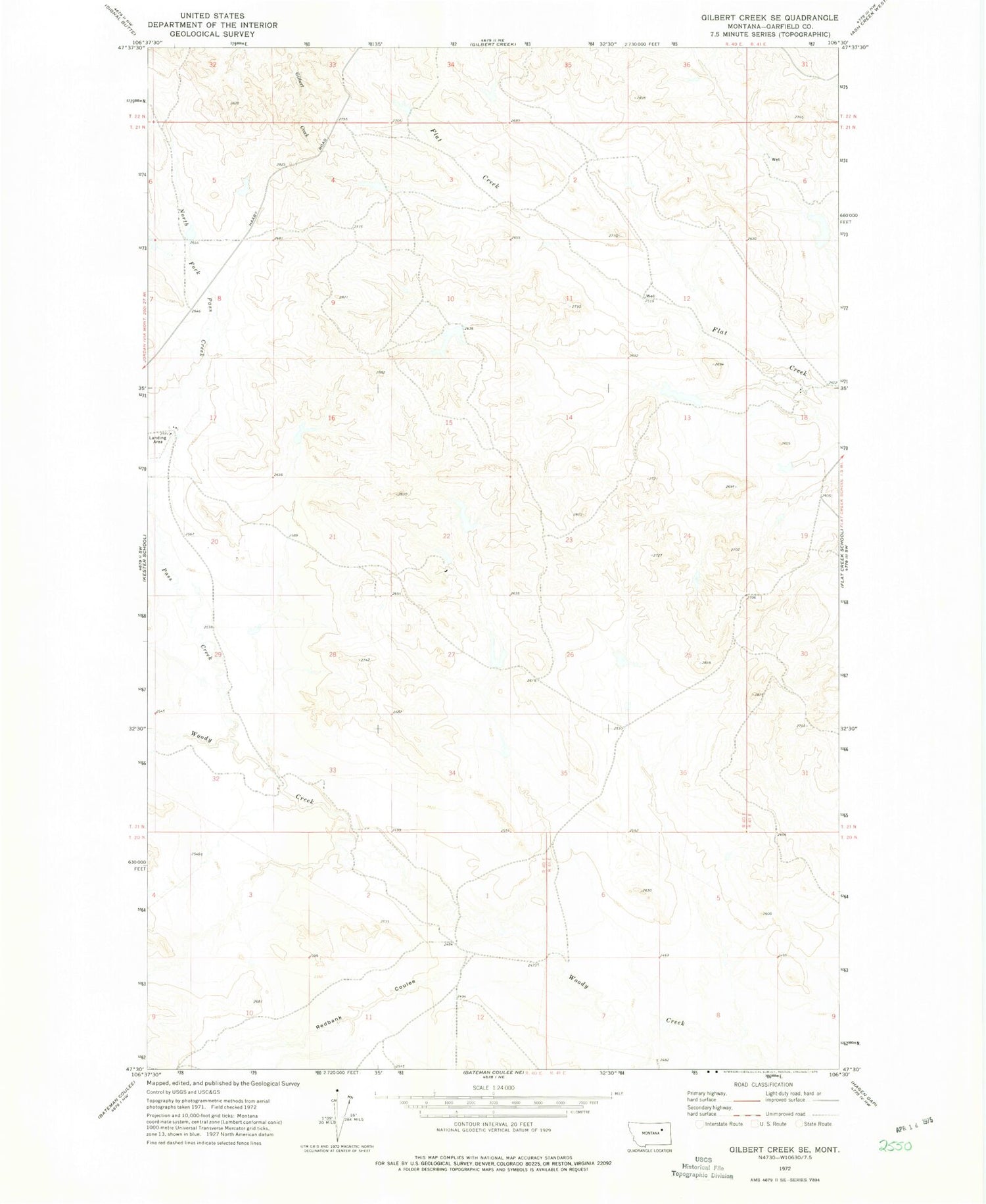
Classic USGS Gilbert Creek SE Montana 7.5'x7.5' Topo Map
Couldn't load pickup availability
Historical USGS topographic quad map of Gilbert Creek SE in the state of Montana. Map scale may vary for some years, but is generally around 1:24,000. Print size is approximately 24" x 27"
This quadrangle is in the following counties: Garfield.
The map contains contour lines, roads, rivers, towns, and lakes. Printed on high-quality waterproof paper with UV fade-resistant inks, and shipped rolled.
Contains the following named places: 18N40E12CCAD01 Well, 20N40E12B___01 Well, 21N40E25BBA_01 Well, 21N41E18A___01 Well, Barclay Dam, Caldwell Dam, Caldwell Number 5 Dam, California Number 1 Dam, Chocolate Milkshake Dam, Davidson Post Office, Pass Creek, Phon, Phon Post Office, Phon School, Randolph Post Office, Redbank Coulee, Rey Dam, Taylor Dam