MyTopo
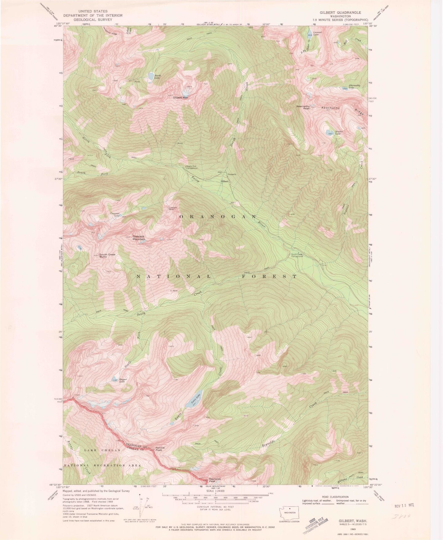
Classic USGS Gilbert Washington 7.5'x7.5' Topo Map
Couldn't load pickup availability
Historical USGS topographic quad map of Gilbert in the state of Washington. Typical map scale is 1:24,000, but may vary for certain years, if available. Print size: 24" x 27"
This quadrangle is in the following counties: Chelan, Okanogan.
The map contains contour lines, roads, rivers, towns, and lakes. Printed on high-quality waterproof paper with UV fade-resistant inks, and shipped rolled.
Contains the following named places: Abernathy Lake, Abernathy Peak, Abernathy Ridge, Bugger Lake, Crescent Lake, Crescent Mine, Crescent Mountain, Gibert Mountain, Gilbert, Lamont Lake, Louis Creek, Louis Lake, North Creek, North Fork Twisp River, North Lake, Rennie Peak, Reynolds Peak, Roads End Campground, Scatter Creek, Scatter Lake, South Creek, South Creek Butte, South Creek Campground, South Fork South Creek, South Fork Twisp River, Twisp River Trailhead, Gilbert Trailhead