MyTopo
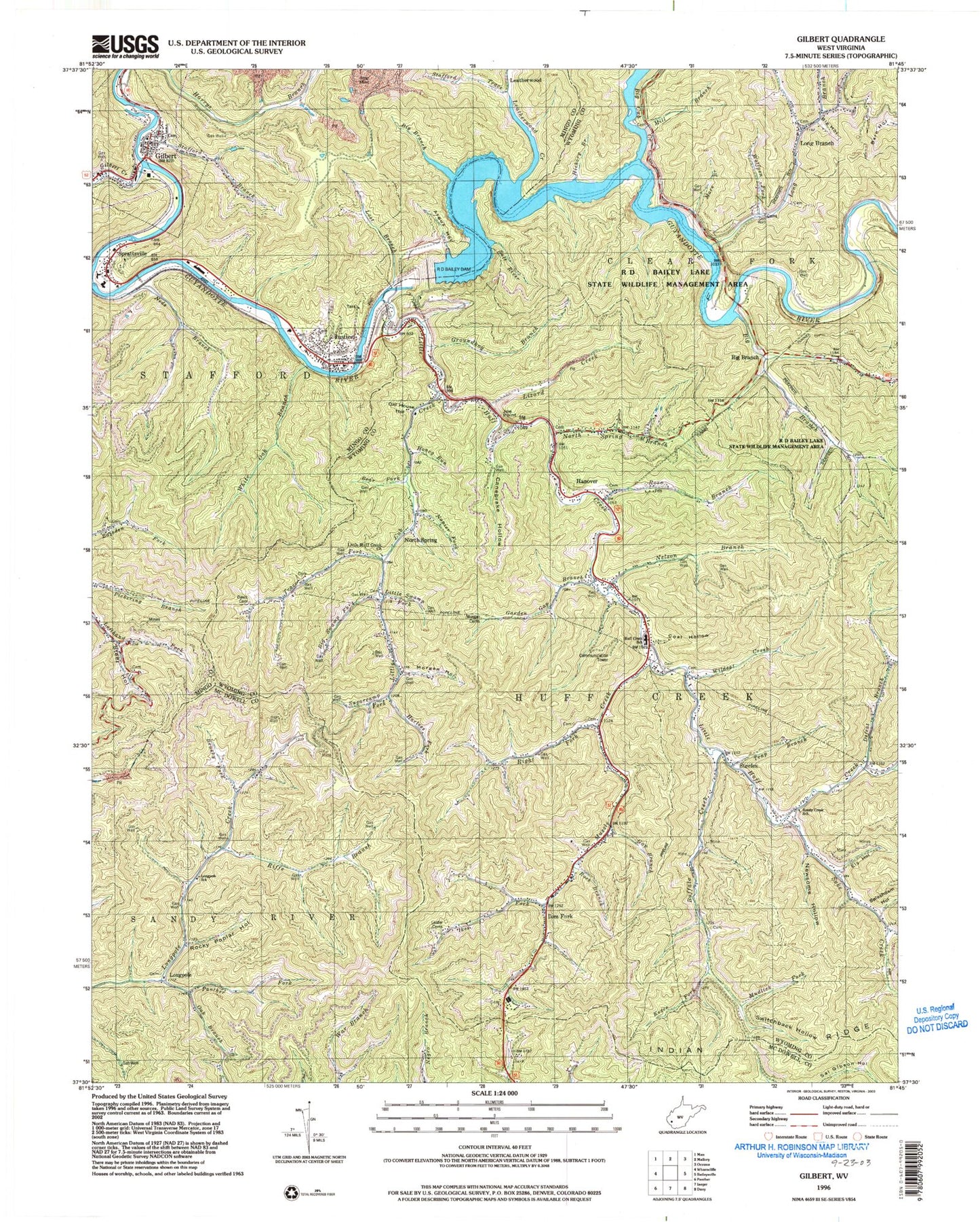
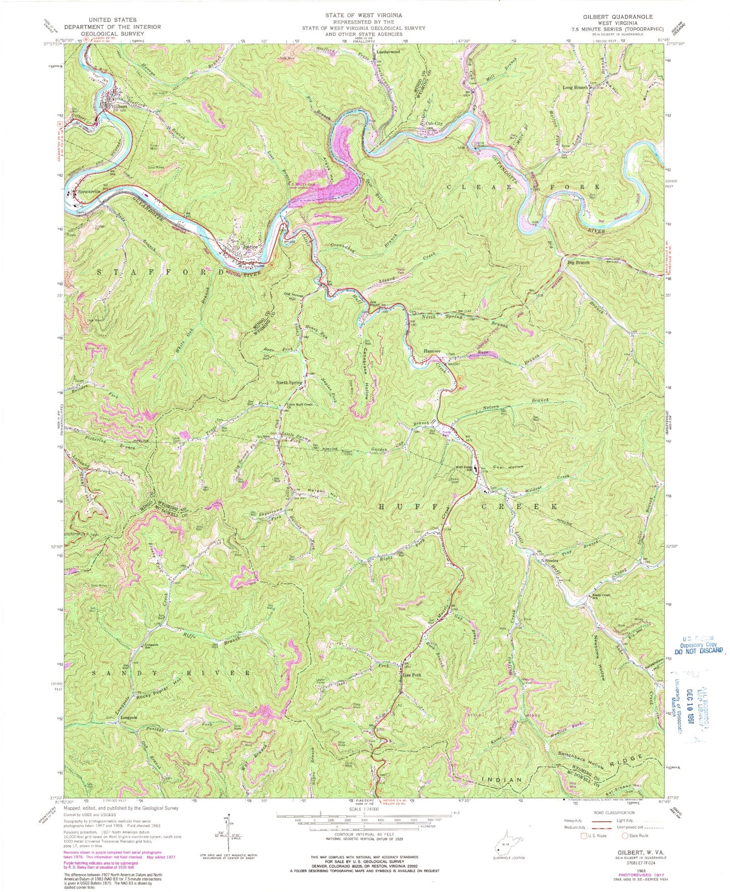
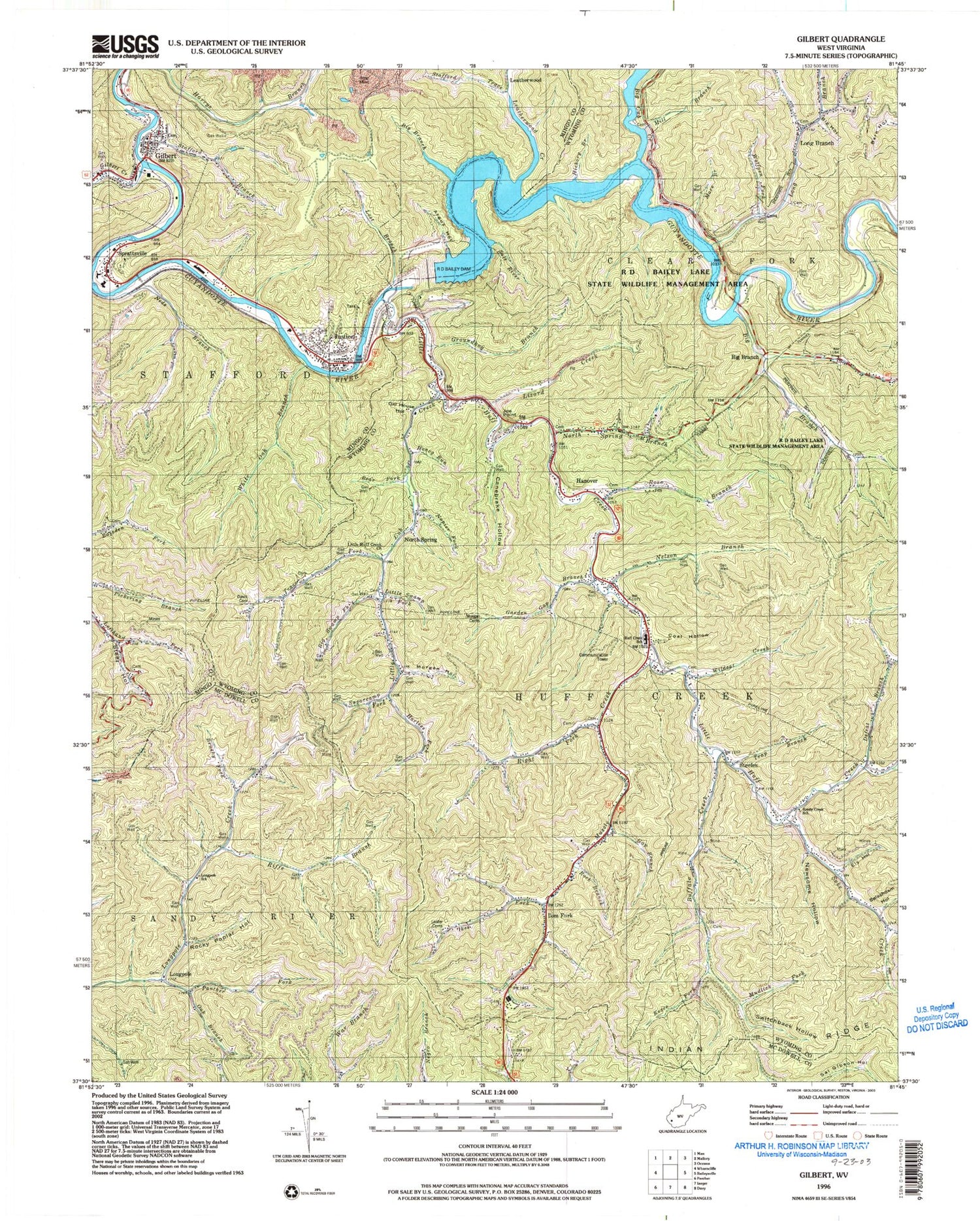
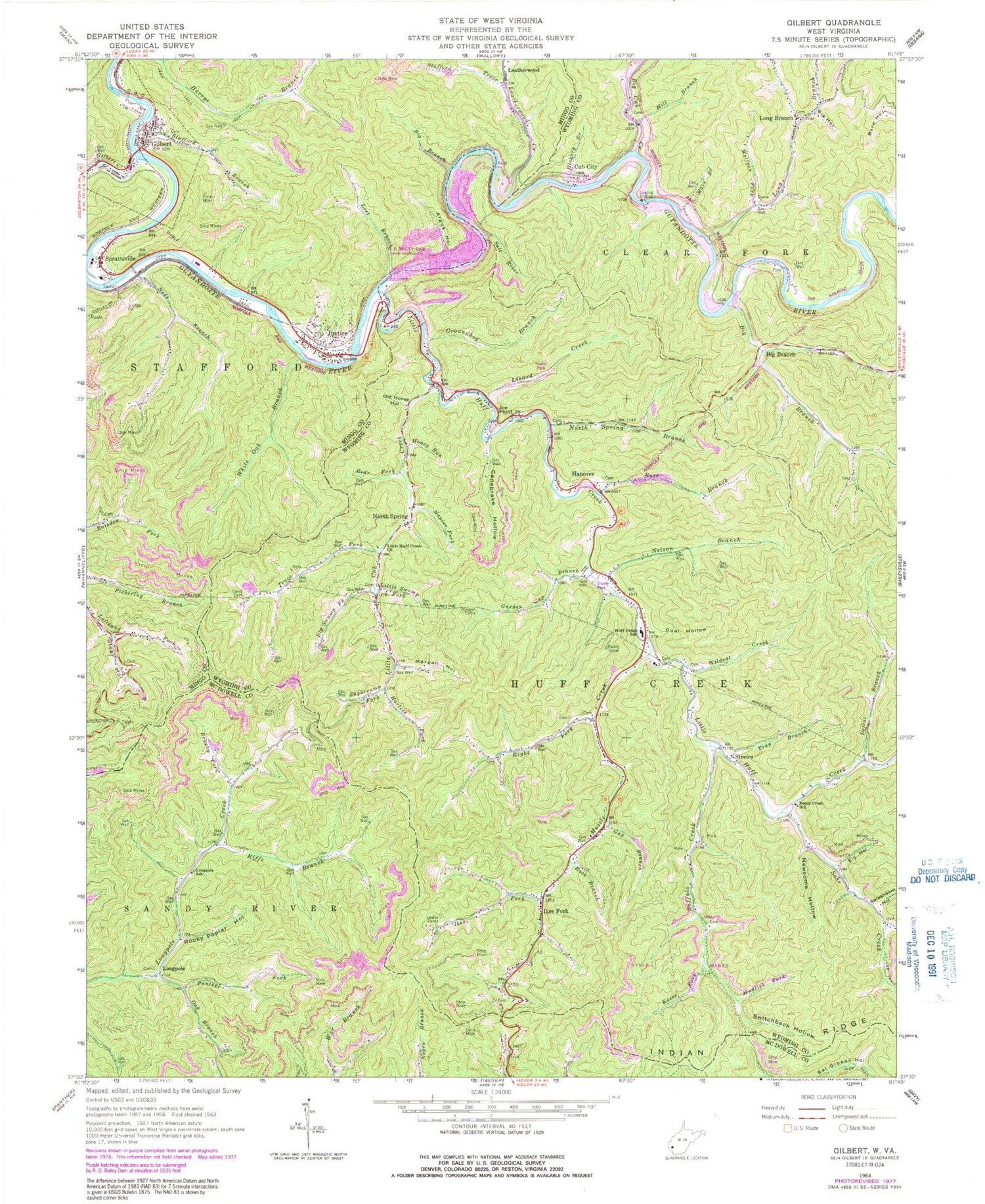
Classic USGS Gilbert West Virginia 7.5'x7.5' Topo Map
Couldn't load pickup availability
Historical USGS topographic quad map of Gilbert in the state of West Virginia. Map scale may vary for some years, but is generally around 1:24,000. Print size is approximately 24" x 27"
This quadrangle is in the following counties: McDowell, Mingo, Wyoming.
The map contains contour lines, roads, rivers, towns, and lakes. Printed on high-quality waterproof paper with UV fade-resistant inks, and shipped rolled.
Contains the following named places: Argus Hollow, Bear Fork, Big Branch, Big Cub Creek, Big Hollow, Big Lick Branch Dams Dam, Big Swamp Fork, Brushy Fork, Buffalo Creek, Canebrake Hollow, Coal Hollow, Cub City, Davis Cemetery, Defeat Branch, Ely Hollow, Gap Branch, Garden Gap Branch, Gilbert, Gilbert Creek, Gilbert Police Department, Gilbert Post Office, Gilbert Volunteer Fire Department, Groundhog Branch, Hanover, Hanover Post Office, Hanover Public Library, Hanover Volunteer Fire Department, Harless Fork, Hickory Branch, Honey Run, Huff Consolidated Elementary and Middle School, Huff Creek School, Ikes Fork, Ikes Fork Post Office, James H Buck Harless Bridge, Jammie Darrian Christian Academy, Joe Point, Justice, Justice Census Designated Place, Justice Post Office, Kezee Fork, Larry Joe Harless Theater, Leatherwood, Leatherwood Creek, Left Hand Fork Harrys Branch, Lester Cemeteries, Little Cub Creek, Little Huff Creek, Little Huff Creek Church, Little Swamp Fork, Lizard Creek, Long Branch, Longpole, Longpole School, Lost Branch, Mare Branch, Mill Branch, Morgan Cemetery, Morgan Hollow, Mudlick Fork, Muzzle Creek, Napier Fork, Neds Branch, Neds Branch Refuse Bank Dam, Nelson Branch, Newsome Hollow, North Spring, North Spring Branch, North Spring Post Office, Oak Branch, Oak Log Cemetery, Old House Hollow, Panther Fork, R D Bailey Lake Dam, R. D. Bailey Lake, Randy Ellis and Billy Lester Bridge, Reedy Creek School, Riffe Branch, Right Fork Muzzle Creek, Rock Branch, Rocky Poplar Hollow, Rodney Staton Memorial Bridge, Rose Branch, Salt River, Slagle Impoundment, Splashdam Hollow, Sprattsville, Stafford Branch, Stafford Emergency Medical Services Incorporated, Stafford Trace, Steeles, Steer Hollow, Sugarcamp Fork, Suke Creek, Switchback Hollow, Town of Gilbert, Trace Fork, Trap Branch, White Oak Branch, Wildcat Creek, ZIP Codes: 24845, 24851, 24869


