MyTopo
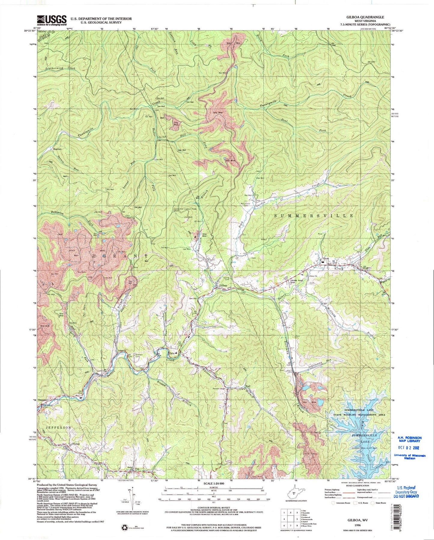
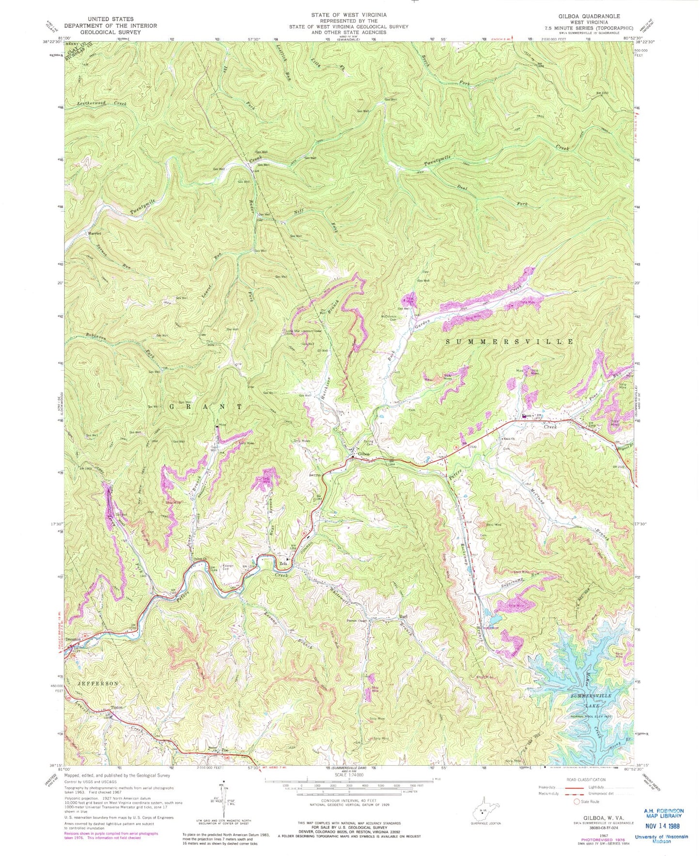
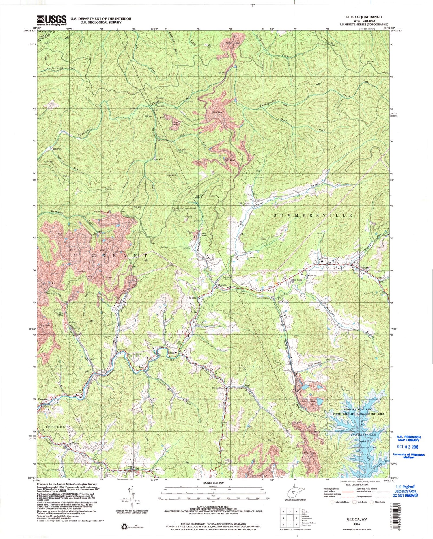
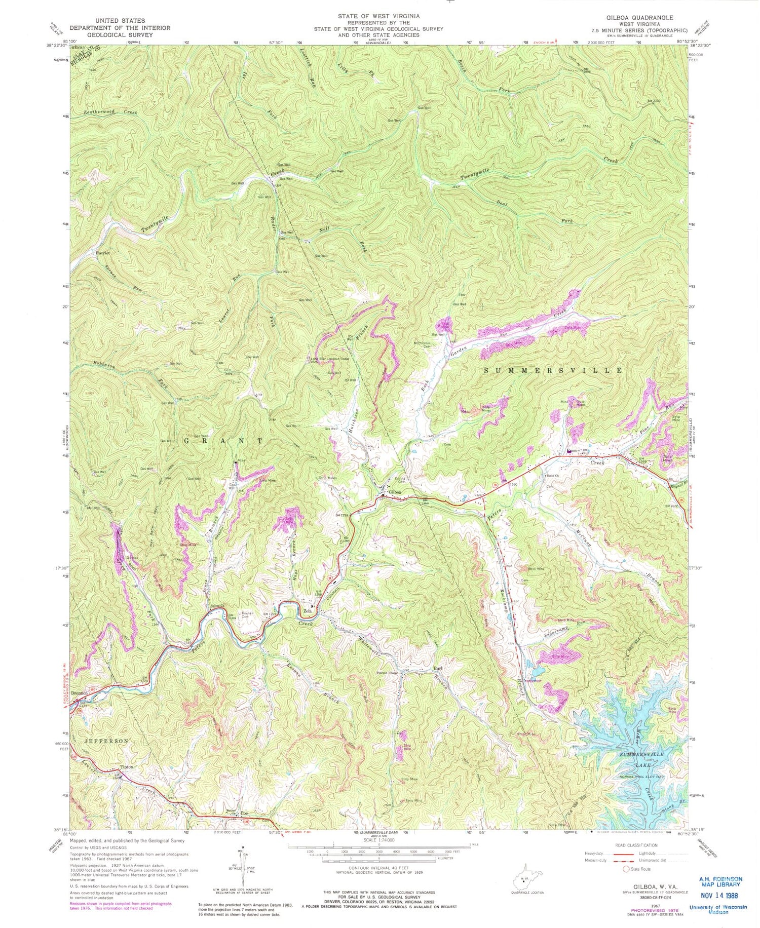
Classic USGS Gilboa West Virginia 7.5'x7.5' Topo Map
Couldn't load pickup availability
Historical USGS topographic quad map of Gilboa in the state of West Virginia. Map scale may vary for some years, but is generally around 1:24,000. Print size is approximately 24" x 27"
This quadrangle is in the following counties: Clay, Nicholas.
The map contains contour lines, roads, rivers, towns, and lakes. Printed on high-quality waterproof paper with UV fade-resistant inks, and shipped rolled.
Contains the following named places: Bell School, Bethel Cemetery, Bethel United Methodist Church, Bryant Branch, Buck Garden Creek, Burl, Church of God, Cornelia, Deal Fork, Drennen, Drennen Post Office, Duling Cemetery, Enon, Enon Church, Gilboa, Gilboa Post Office, Gilboa United Methodist Church, Grant District, Harriet, Hutchison Branch, Jerry Fork, Jones Branch, Keenan Branch, Keenan Cemetery, Laurel Run, Lone Star Lookout Tower, Lone Star School, McClung Branch, McCutchin Cemetery, Neff Fork, Peerless Eagle Dam, Pierson United Methodist Church, Pine Run, Poe, Poe Post Office, Rader Fork, Rays Branch, Rockcamp Branch, Salem Church, Spruce Run, Stony Branch, Sugarcamp Run, Summersville District, Summersville Lake State Wildlife Area, Tipton, Water Supply Reservoir, Way Back Trail, Whitewater Branch, Winebrenner School, Zela, Zela Elementary School, ZIP Code: 26651


