MyTopo
Classic USGS Gilchrist Michigan 7.5'x7.5' Topo Map
Couldn't load pickup availability
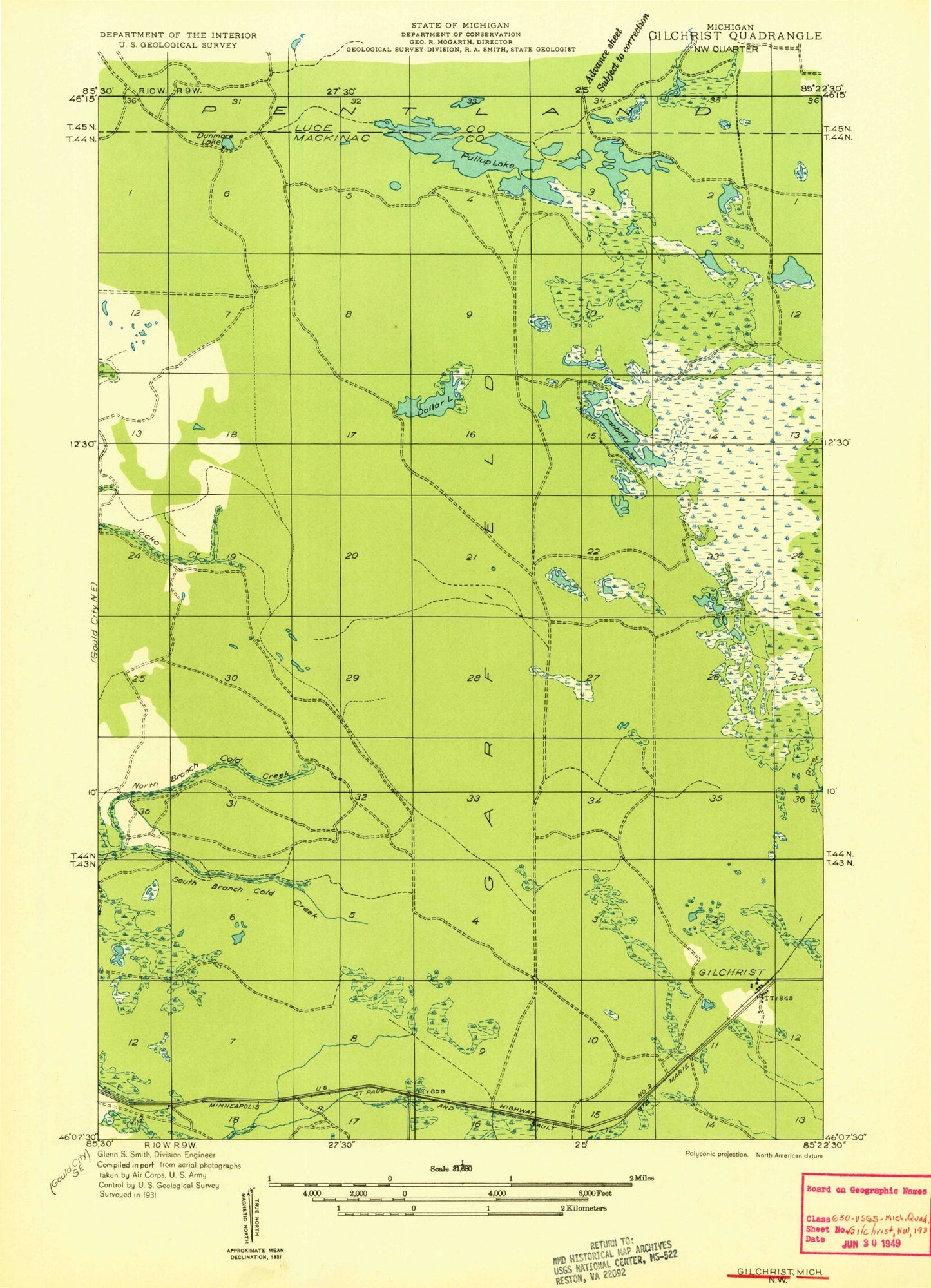
Historical USGS topographic quad map of Gilchrist in the state of Michigan. Typical map scale is 1:24,000, but may vary for certain years, if available. Print size: 24" x 27"
This quadrangle is in the following counties: Luce, Mackinac.
The map contains contour lines, roads, rivers, towns, and lakes. Printed on high-quality waterproof paper with UV fade-resistant inks, and shipped rolled.
Contains the following named places: Cranberry Lake, Cranberry Lake Bog, Devine Lake, Dollar Lake, Ear Lake, Gilchrist, Goat Lake, Grass Lake, Jocko Pond, Lake Louise, Lucky Lake, Nelson Lake, North Branch Cold Creek, Pullup Lake, South Branch Cold Creek, South Branch Three Mile Creek, Tee Lake, Township of Garfield, Gilchrist Post Office (historical), Gilchrist Station