MyTopo
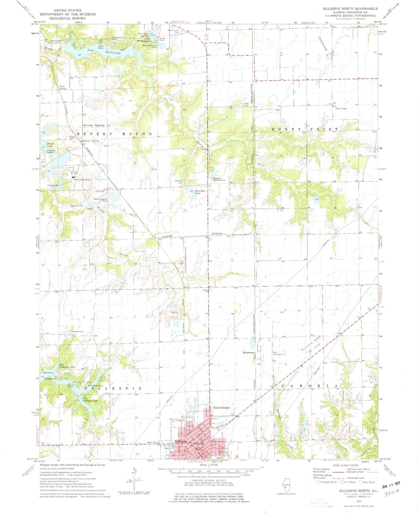
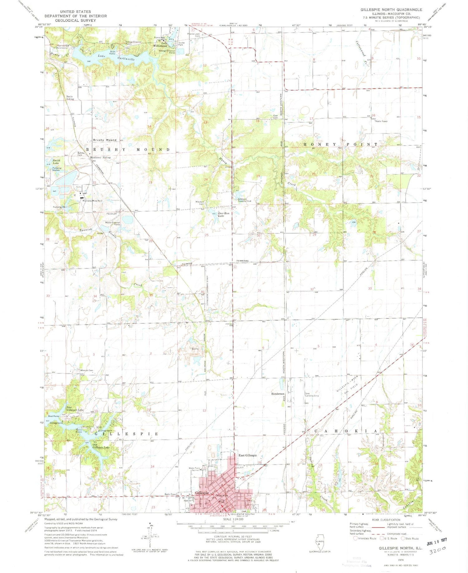
Classic USGS Gillespie North Illinois 7.5'x7.5' Topo Map
Couldn't load pickup availability
Historical USGS topographic quad map of Gillespie North in the state of Illinois. Map scale may vary for some years, but is generally around 1:24,000. Print size is approximately 24" x 27"
This quadrangle is in the following counties: Macoupin.
The map contains contour lines, roads, rivers, towns, and lakes. Printed on high-quality waterproof paper with UV fade-resistant inks, and shipped rolled.
Contains the following named places: Behme Cemetery, Bolomey Pork Farm, Brushy Mound, Brushy Mound School, Carlinville Waterworks, City of Gillespie, Corr Cemetery, Davis Siding, Deer Run Lake, Deer Run Lake Dam, East Gillespie, Elmwood School, Enterprise School, French Lake, French Lake Dam, Gillespie, Gillespie City Hall, Gillespie Country Club, Gillespie Country Club Lake, Gillespie Country Club Lake Dam, Gillespie Fire Department, Gillespie High School, Gillespie Police Department, Gillespie Post Office, Gillespie-Wyen Oil Field, Grimes School, Henderson, Hickory Grove Pork Farm, Hickory Grove School, Holy Cross Catholic Cemetery, Holy Cross Cemetery, Honey Point School, Lake Carlinville, Lake Carlinville Dam, Lake Edward, Lake Edward Club Dam, Lake Williamson, Lake Williamson Dam, Lindell Loveless Airport, Maple Street School, Mitchell Cemetery, Monterey Mine Number 1, Monterey Siding, New Era School, Old Gillespie Lake, Old Gillespie Lake Dam, Prairie Lawn Cemetery, Recirculation Pond, Recirculation Pond Dam, Redeemer Lutheran Church, Sies Landing Area, Township of Brushy Mound, Township of Cahokia, Township of Gillespie, Township of Honey Point, Village of East Gillespie, Washington School, Wheeler Cemetery, Williams School, Yoch School, Zion Evangelical Lutheran Church, ZIP Code: 62033


