MyTopo
Classic USGS Gillett Arkansas 7.5'x7.5' Topo Map
Couldn't load pickup availability
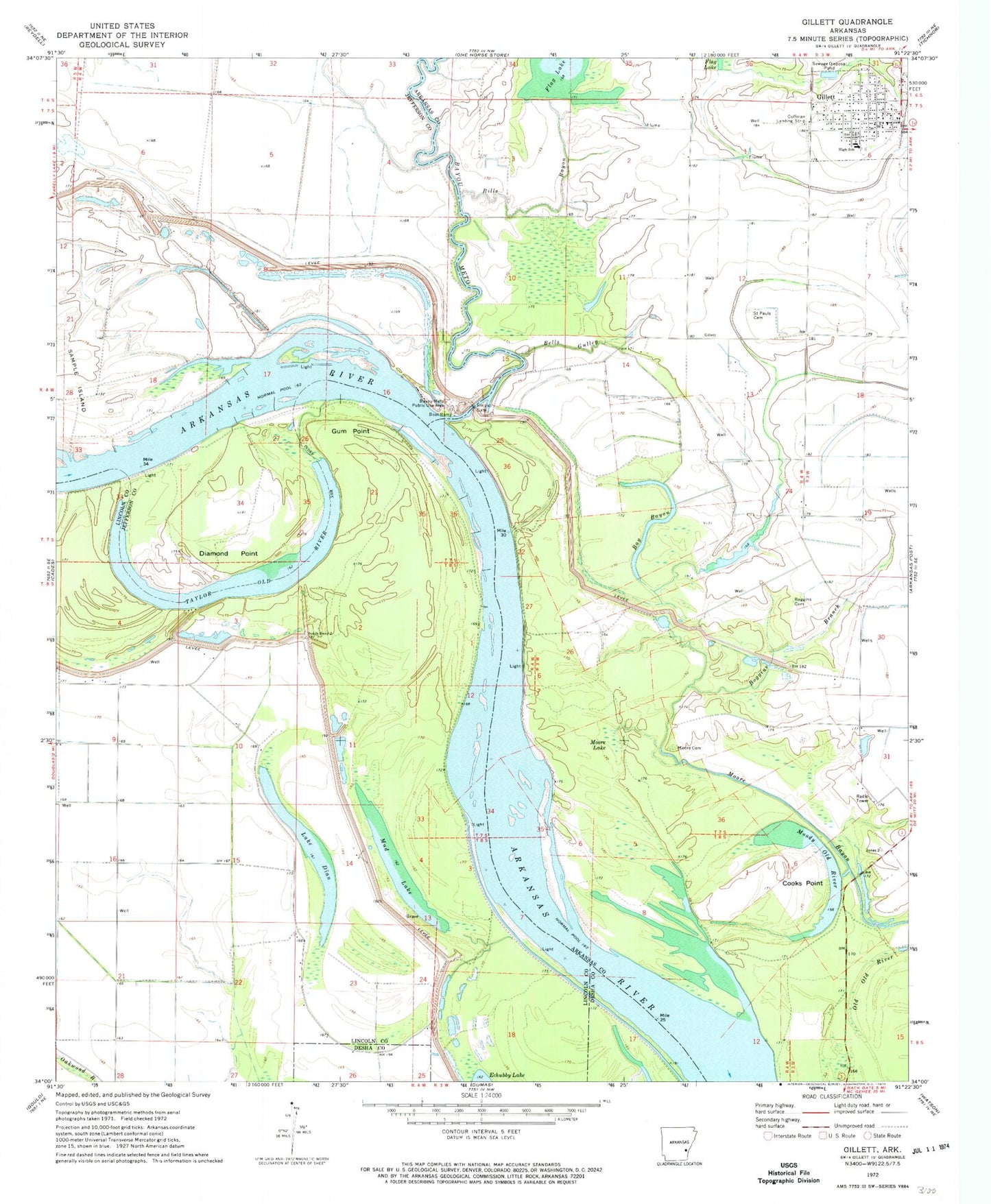
Historical USGS topographic quad map of Gillett in the state of Arkansas. Map scale may vary for some years, but is generally around 1:24,000. Print size is approximately 24" x 27"
This quadrangle is in the following counties: Arkansas, Desha, Jefferson, Lincoln.
The map contains contour lines, roads, rivers, towns, and lakes. Printed on high-quality waterproof paper with UV fade-resistant inks, and shipped rolled.
Contains the following named places: Bay Bayou, Bayou Meto, Bayou Meto Public Use Area, Bells Gulley, Bicker Bend, Bicker Crossing, Bills Bayou, Boggins Branch, Boggins Cemetery, City of Gillett, Cooks Point, Cooks Point Cutoff, Diamond Point, Farelly Lake, Fish Dock, Gillett, Gillett Elementary School, Gillett Fire Station, Gillett High School, Gillett Police Department, Gillett Post Office, Gum Point, Lake Dian, Love Rest Church, Moody Old River, Moore Cemetery, Moore Lake, Moore Landing, Mud Lake, Ross Ferry, Saint Pauls Lutheran Cemetery, South Bend, South Bend Church Number 2, South Bend Landing, Taylor Old River, Thedford Bend