MyTopo
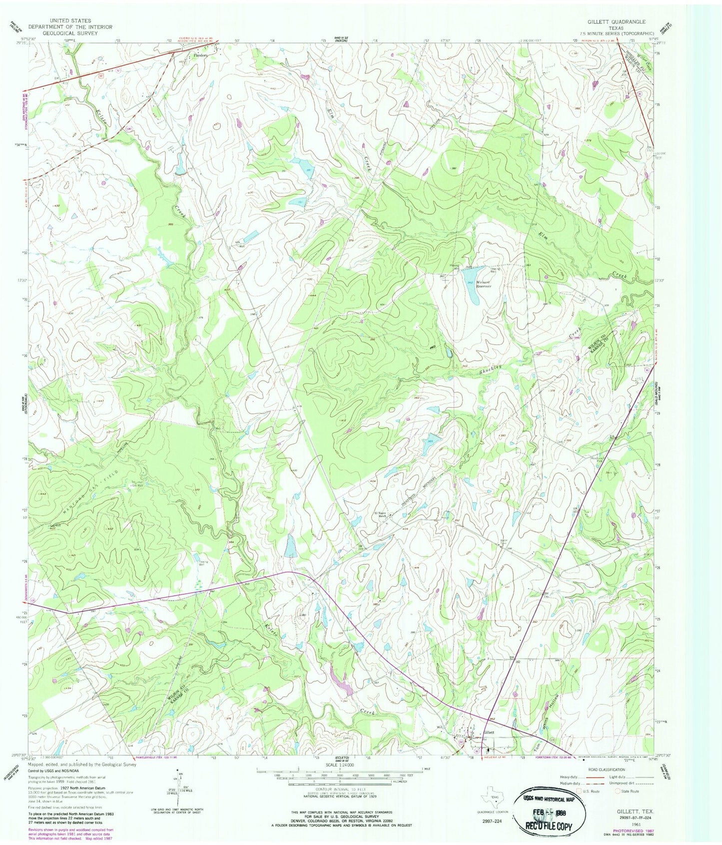
Classic USGS Gillett Texas 7.5'x7.5' Topo Map
Couldn't load pickup availability
Historical USGS topographic quad map of Gillett in the state of Texas. Map scale may vary for some years, but is generally around 1:24,000. Print size is approximately 24" x 27"
This quadrangle is in the following counties: Gonzales, Karnes, Wilson.
The map contains contour lines, roads, rivers, towns, and lakes. Printed on high-quality waterproof paper with UV fade-resistant inks, and shipped rolled.
Contains the following named places: Coates Estate Lake Number 1, Coates Estate Lake Number 1 Dam, Coates Estate Lake Number 2, Coates Estate Lake Number 2 Dam, El Negro Ranch, El Negro Ranch Lake, El Negro Ranch Lake Dam, Gillett, Gillett Post Office, Manford Gas Field, Weinert Ranch Reservoir Dam, Weinert Reservoir