MyTopo
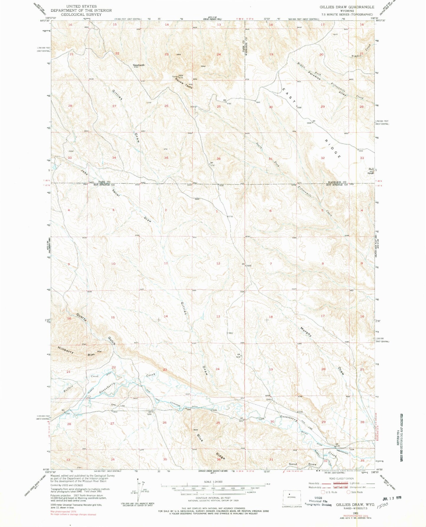
Classic USGS Gillies Draw Wyoming 7.5'x7.5' Topo Map
Regular price
$16.95
Regular price
Sale price
$16.95
Unit price
per
Couldn't load pickup availability
Historical USGS topographic quad map of Gillies Draw in the state of Wyoming. Map scale may vary for some years, but is generally around 1:24,000. Print size is approximately 24" x 27"
This quadrangle is in the following counties: Hot Springs, Park, Washakie.
The map contains contour lines, roads, rivers, towns, and lakes. Printed on high-quality waterproof paper with UV fade-resistant inks, and shipped rolled.
Contains the following named places: Buffalo Creek, Bull Knoll, Gillies Draw, Jake Seller Draw, Murphy Ditch, Pine Tree Extension Ditch, Quartz Ditch, Quartz Gulch, Sand Draw, Sawtooth, Squaw Teats