MyTopo
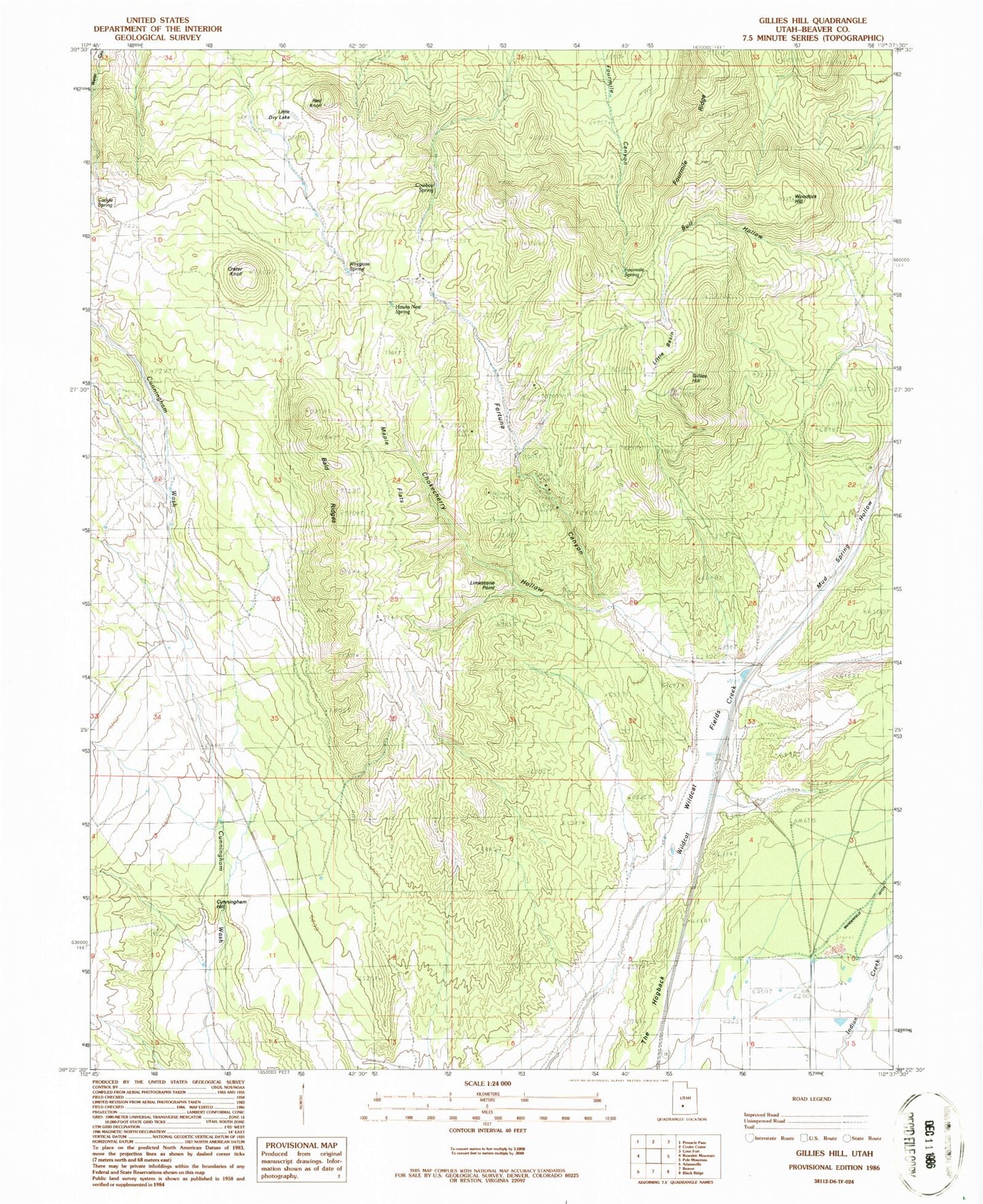
Classic USGS Gillies Hill Utah 7.5'x7.5' Topo Map
Couldn't load pickup availability
Historical USGS topographic quad map of Gillies Hill in the state of Utah. Map scale may vary for some years, but is generally around 1:24,000. Print size is approximately 24" x 27"
This quadrangle is in the following counties: Beaver.
The map contains contour lines, roads, rivers, towns, and lakes. Printed on high-quality waterproof paper with UV fade-resistant inks, and shipped rolled.
Contains the following named places: Bald Ridges, Chokecherry Hollow, Cowboy Spring, Crater Knoll, Cunningham Hill, Fortuna Canyon, Fortune Mine, Fourmile Ridge, Fourmile Spring, Gillies Hill, Harris Mine, Hawks Nest Spring, Limestone Point, Little Basin, Little Dry Lake, Maple Flats, Mud Spring Hollow, Red Knoll, Wildcat Fields, Wiregrass Spring, Woodtick Hill