MyTopo
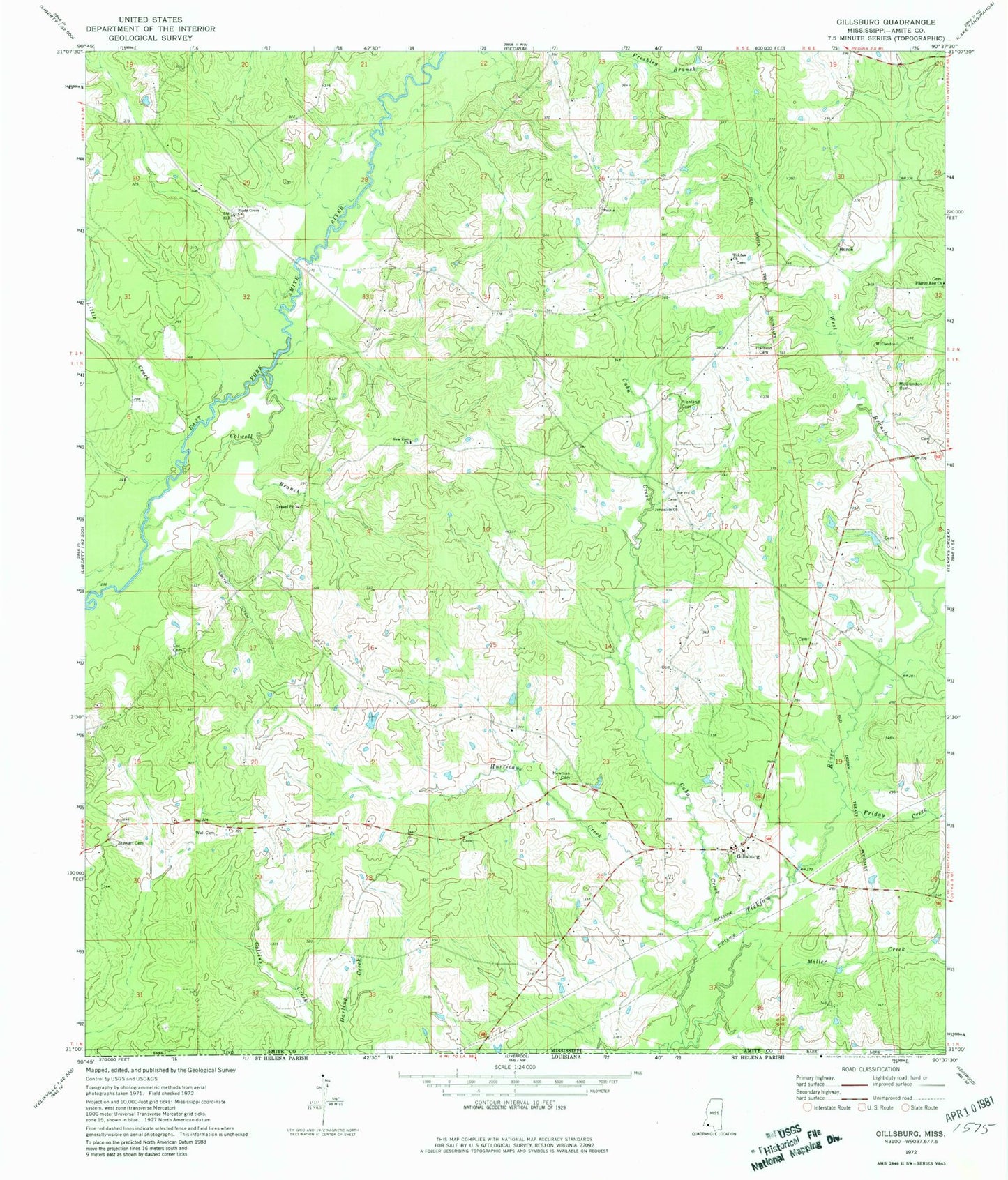
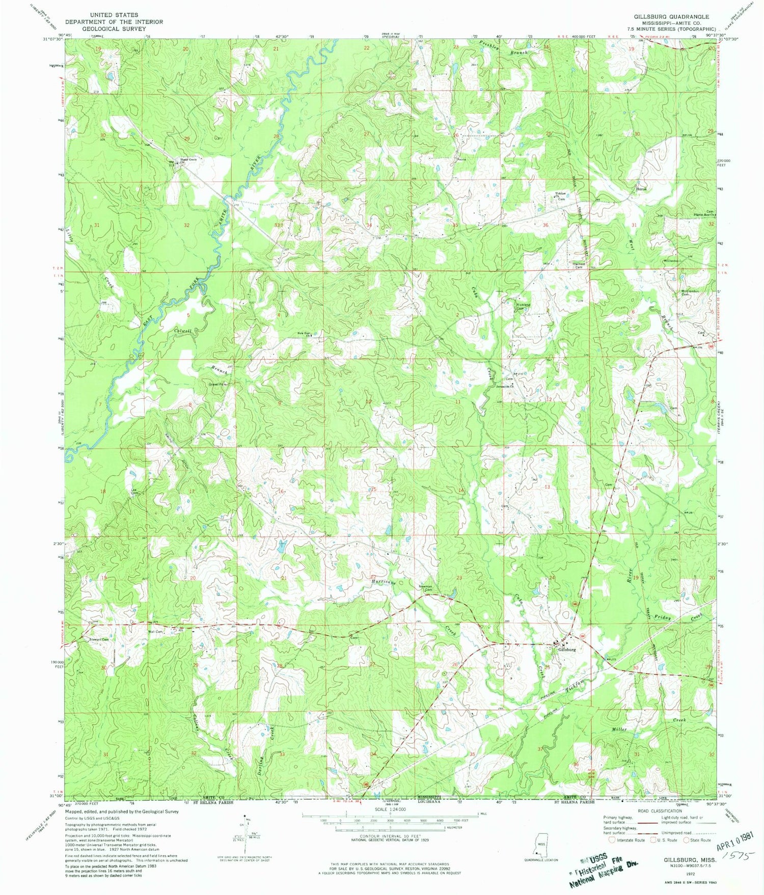
Classic USGS Gillsburg Mississippi 7.5'x7.5' Topo Map
Couldn't load pickup availability
Historical USGS topographic quad map of Gillsburg in the state of Mississippi. Map scale may vary for some years, but is generally around 1:24,000. Print size is approximately 24" x 27"
This quadrangle is in the following counties: Amite.
The map contains contour lines, roads, rivers, towns, and lakes. Printed on high-quality waterproof paper with UV fade-resistant inks, and shipped rolled.
Contains the following named places: Bates Cemetery, Bates School, Benjamin Wall Cemetery, Bethlehem Baptist Church, Bethlehem Cemetery, Carter-Evans Cemetery, Casey-Powell Cemetery, Cockerham Cemetery, Colwell Branch, Cuba Creek, Felder-Williams Cemetery, Friday Creek, George Roddy Lea Cemetery, Gillsburg, Gillsburg Baptist Church, Gillsburg Cemetery, Gillsburg Rural Volunteer Fire Department, Gordon Cemetery, Gordon Mill, Harness Cemetery, Holden Cemetery, Hughes-Lawson Cemetery, Huron, Hurricane Creek, Jerusalem Cemetery, Jerusalem Church, Lea Cemetery, Lea-Davis Cemetery, Little Creek, Love Creek, Madison - Bean Cemetery, McClendon Cemetery, McDaniel-Travis Cemetery, McDowell Cemetery, Midway School, Miller Creek, Monroe-Brumfield Cemetery, Morgan-Gordon Cemetery, New Star Church, New Zion Cemetery, New Zion Church, Newman Cemetery, Old Gillsburg Cemetery, Pilgrim Rest Cemetery, Pilgrim Rest Church, Polk-Tate Cemetery, Reynolds School, Richland Cemetery, Richmond School, Shady Grove Cemetery, Shady Grove Church, Smith Ditch, Stewart Cemetery, Supervisor District 5, Taylor Store, Taylor Williams Cemetery, Tickfaw, Tickfaw Cemetery, Tickfaw Church, Travis Store, Wall Cemetery, West Branch Tickfaw River, Williams Chapel, Zeagler Cemetery


