MyTopo
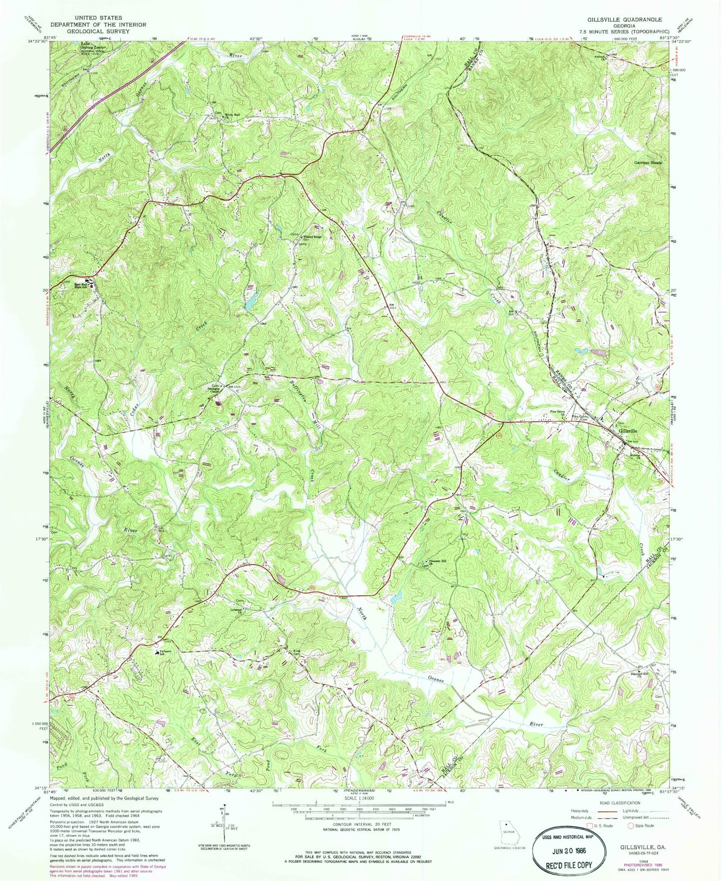
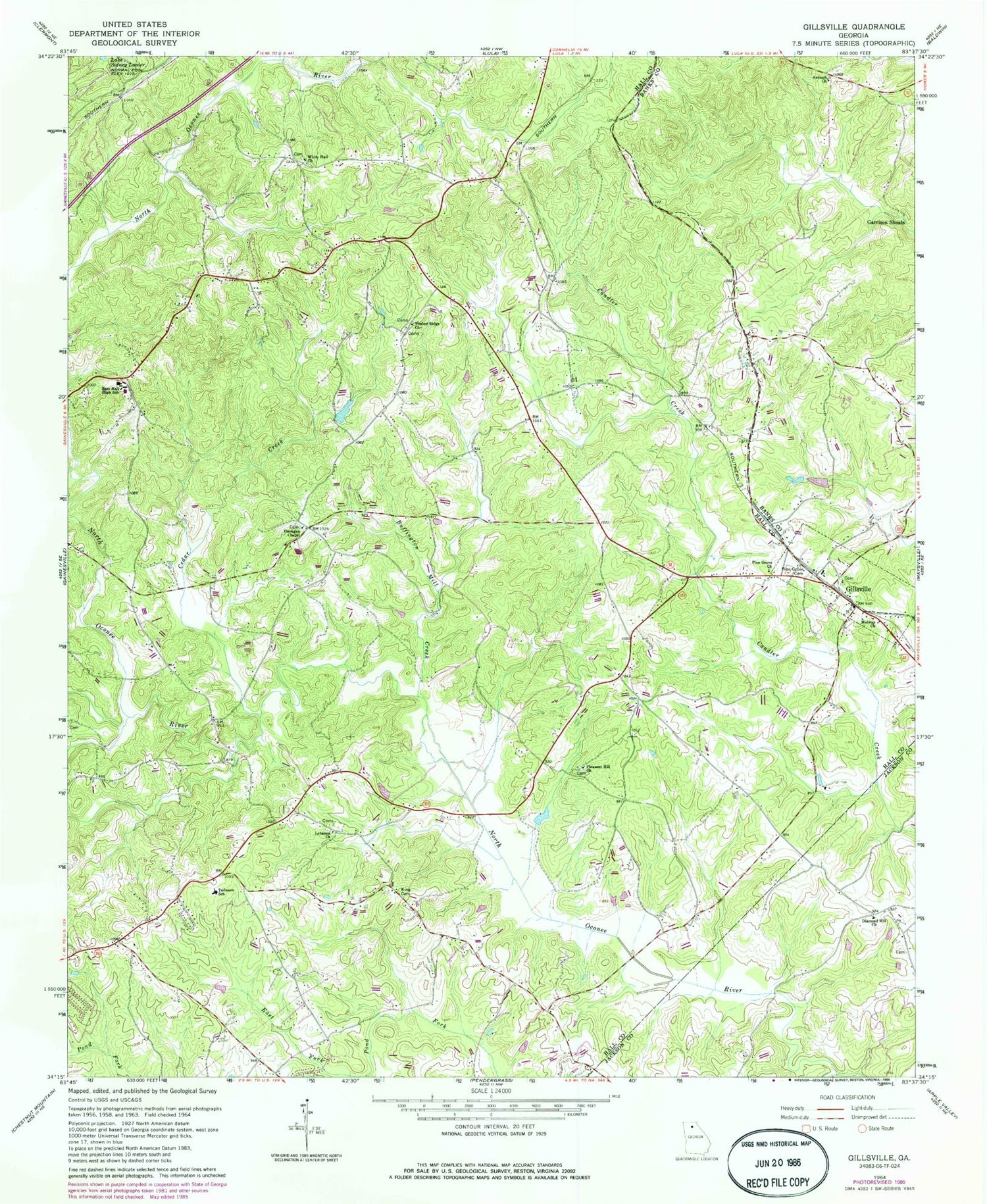
Classic USGS Gillsville Georgia 7.5'x7.5' Topo Map
Couldn't load pickup availability
Historical USGS topographic quad map of Gillsville in the state of Georgia. Map scale may vary for some years, but is generally around 1:24,000. Print size is approximately 24" x 27"
This quadrangle is in the following counties: Banks, Hall, Jackson.
The map contains contour lines, roads, rivers, towns, and lakes. Printed on high-quality waterproof paper with UV fade-resistant inks, and shipped rolled.
Contains the following named places: Antioch Church, B Tree Farms Airport, Buffington Mill Creek, Cedar Creek, City of Gillsville, Diamond Hill Baptist Cemetery, Diamond Hill Church, Diamond Hill School, Dunagan, Dunagan Chapel, Dunagans Chapel Methodist Cemetery, East Hall Baptist Church, East Hall High School, East Hall Middle School, Garrison Shoals, Gilbert Dam, Gillsville, Gillsville Baptist Church, Gillsville Cemetery, Gillsville Historic District, Gillsville Post Office, Gilmer Academy, Grove Creek Church, Grove Creek School, Grove River Structure Number 15 Dam, Hall County Fire Station 10, Hampton Mill, Heads Mill, Jarrett, King Cemetery, Latty Station, Lebanon Church, Lebanon Methodist Cemetery, Liberty Baptist Church, Lula Division, Midway Church, Miller Lake, Miller Lake Dam, Oconee Mills, Pine Grove Cemetery, Pine Grove Church, Pleasant Hill Church, Reservoir 15, Tadmore Church, Tadmore Elementary School, Timber Ridge Cemetery, Timber Ridge Church, Welcome Home Church, White Hall Church, White Hall School, Whitehall Cemetery, ZIP Code: 30543


