MyTopo
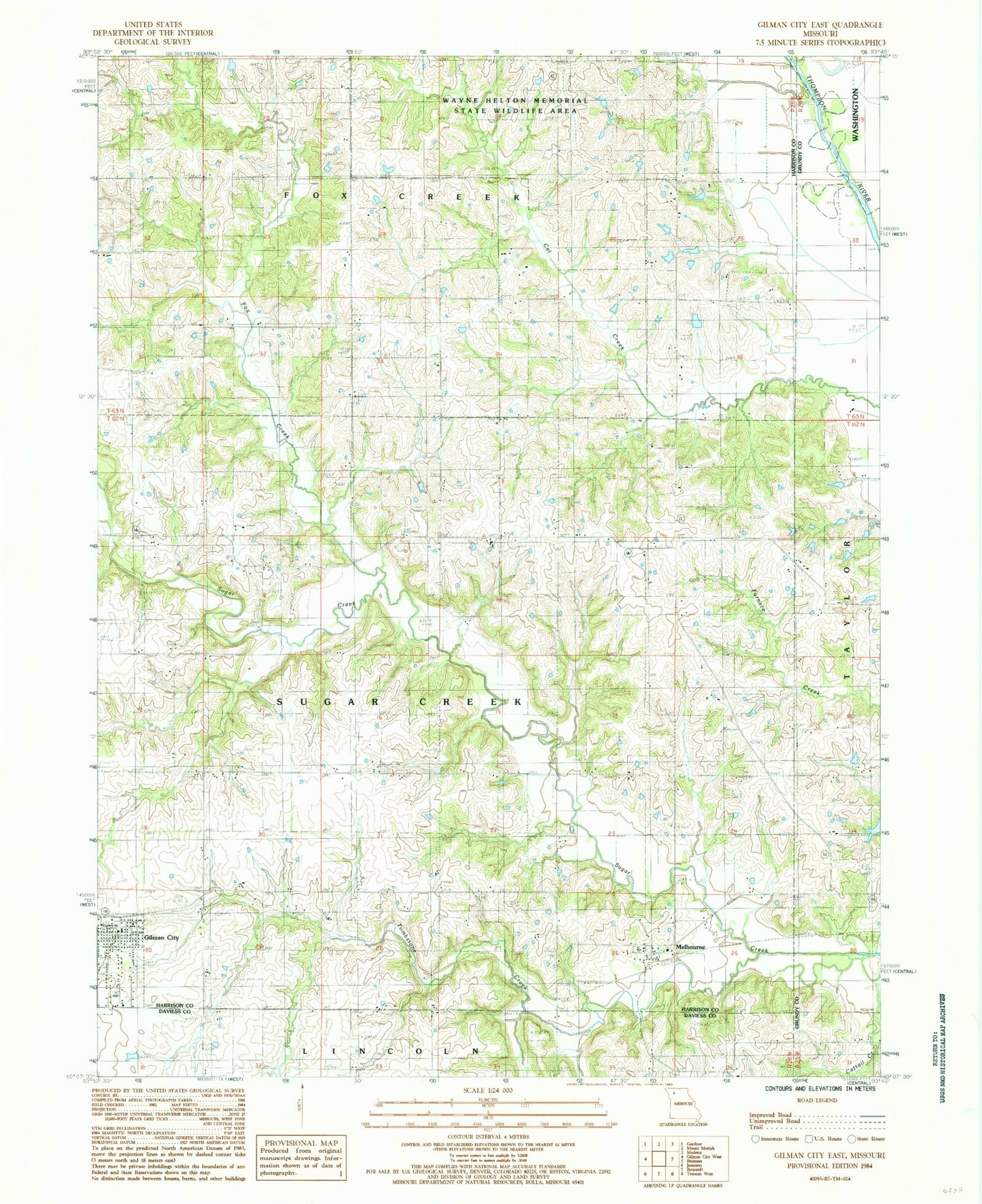
Classic USGS Gilman City East Missouri 7.5'x7.5' Topo Map
Couldn't load pickup availability
Historical USGS topographic quad map of Gilman City East in the state of Missouri. Map scale may vary for some years, but is generally around 1:24,000. Print size is approximately 24" x 27"
This quadrangle is in the following counties: Daviess, Grundy, Harrison.
The map contains contour lines, roads, rivers, towns, and lakes. Printed on high-quality waterproof paper with UV fade-resistant inks, and shipped rolled.
Contains the following named places: Bolton, Bolton Post Office, Bolton School, Cat Creek Cemetery, City of Gilman City, Cole School, Fox Creek, Gilman Cemetery, Gilman City, Gilman City Elementary School, Gilman City Fire Protection District, Gilman City High School, Gilman City Post Office, Lake Church, Lake School, Little Creek, Long Branch, Melbourne, Metcalf School, Mitchell Cemetery, Mitchell Church, Ratliff Lake, Ratliff Lake Dam, Rock Island School, Spring Hill School, Springer Chapel, Springer Chapel Cemetery, Stephen School, Theusen Lake Dam, Tombstone Creek, Township of Fox Creek, Township of Sugar Creek, Union Church, Wayne Helton Memorial State Wildlife Area, Woodworth Lake Dam, Wynne Lake Dam, ZIP Code: 64642