MyTopo
Classic USGS Gilman City West Missouri 7.5'x7.5' Topo Map
Regular price
$16.95
Regular price
Sale price
$16.95
Unit price
per
Couldn't load pickup availability
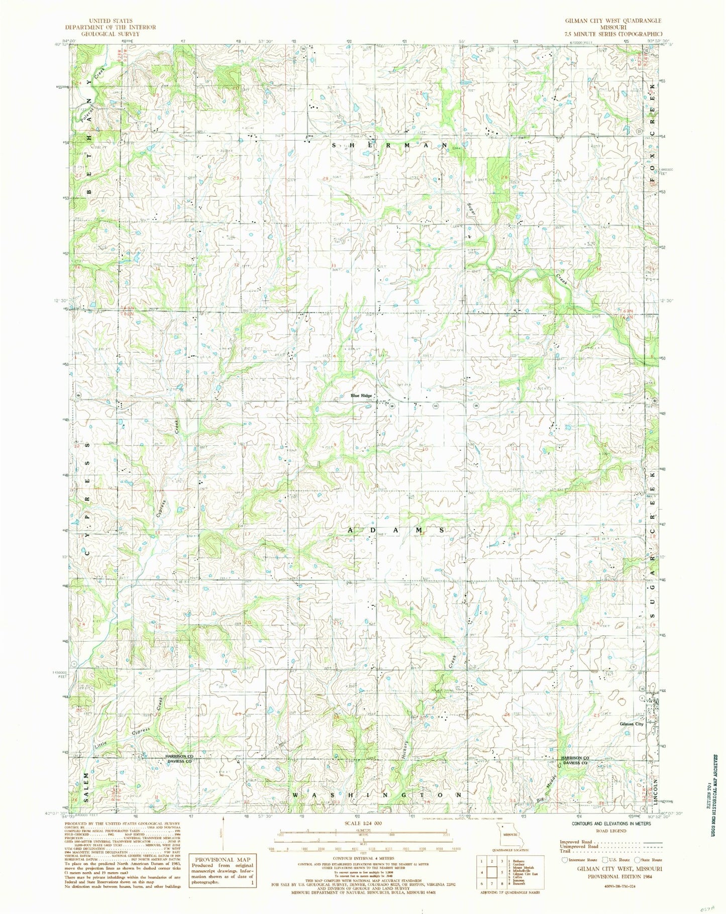
Historical USGS topographic quad map of Gilman City West in the state of Missouri. Map scale may vary for some years, but is generally around 1:24,000. Print size is approximately 24" x 27"
This quadrangle is in the following counties: Daviess, Harrison.
The map contains contour lines, roads, rivers, towns, and lakes. Printed on high-quality waterproof paper with UV fade-resistant inks, and shipped rolled.
Contains the following named places: Antioch Church, Blue Ridge, Bondurant School, Cypress School, Fairview Church, Ford School, Hazel Dell School, Lincoln School, Meadows Airport, Sherman Center School, Township of Adams, Township of Sherman