MyTopo
Classic USGS Gilmore Peak California 7.5'x7.5' Topo Map
Couldn't load pickup availability
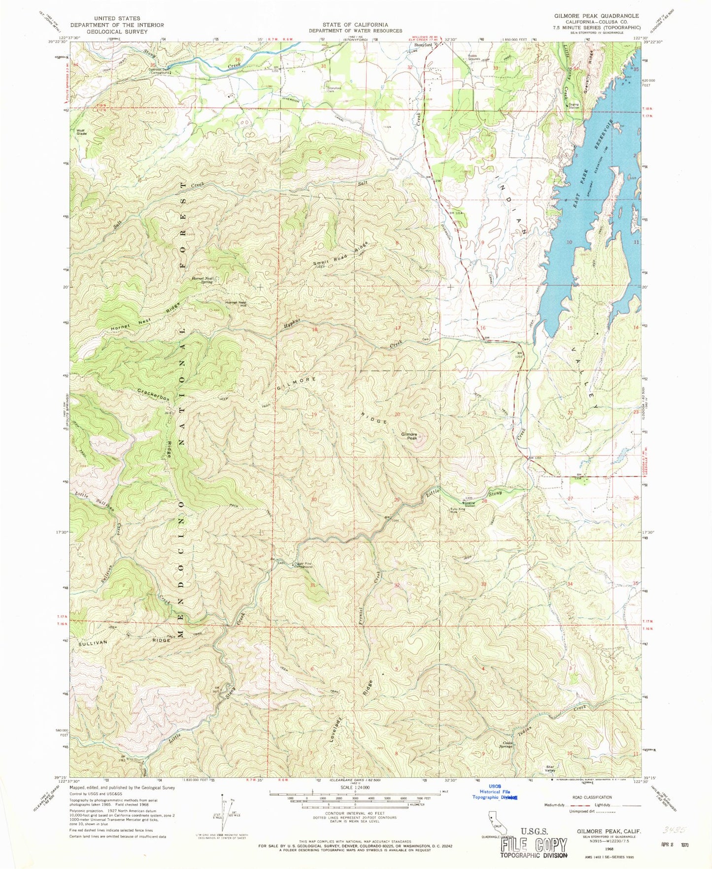
Historical USGS topographic quad map of Gilmore Peak in the state of California. Map scale may vary for some years, but is generally around 1:24,000. Print size is approximately 24" x 27"
This quadrangle is in the following counties: Colusa.
The map contains contour lines, roads, rivers, towns, and lakes. Printed on high-quality waterproof paper with UV fade-resistant inks, and shipped rolled.
Contains the following named places: Century Ranch, Coleman Dike Dam, Cooks Springs, Crackerbox Ridge, Digger Pine Campground, Diversion Dam Campground, East Park Dam, East Park Reservoir, Frenzel Creek, Frenzel Creek Research Natural Area, Gilmore Peak, Gilmore Ridge, Gordon Dike Dam, Hornet Nest Hill, Hornet Nest Ridge, Hornet Nest Spring, Hyphus Creek, Little Sullivan Creek, Lodoga Census Designated Place, Ruby King Mine, Smelt Road Ridge, Star Valley, Stonyford Cemetery, Stonyford Census Designated Place, Stonyford Community Church, Stonyford District Ranger Office, Stonyford Rodeo Grounds, Sullivan Creek, Sullivan Valley, Trout Creek, United States Forest Service Mendocino National Forest Stonyford Work Center Fire Company, Wolf Glade, ZIP Code: 95979


