MyTopo
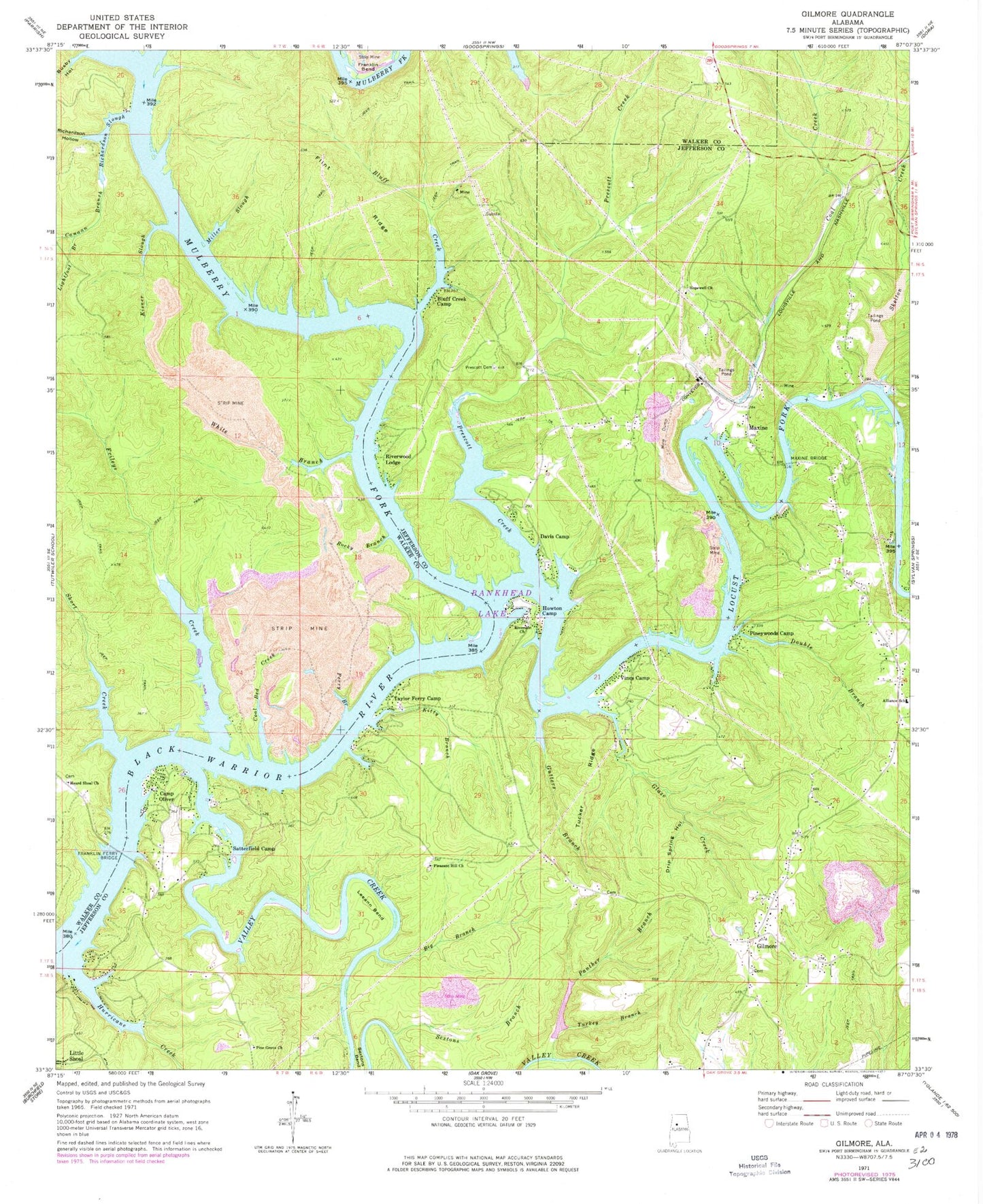
Classic USGS Gilmore Alabama 7.5'x7.5' Topo Map
Couldn't load pickup availability
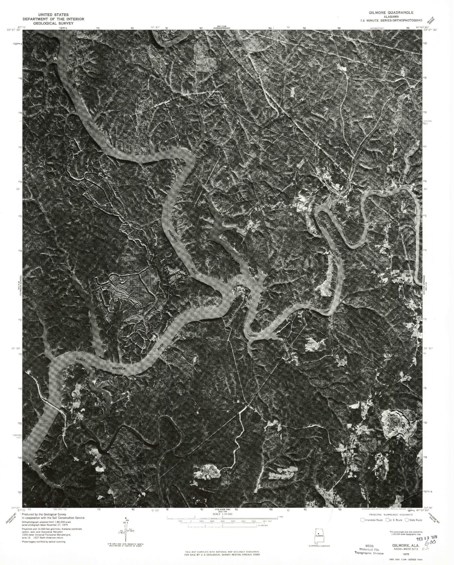
Historical USGS topographic quad map of Gilmore in the state of Alabama. Typical map scale is 1:24,000, but may vary for certain years, if available. Print size: 24" x 27"
This quadrangle is in the following counties: Jefferson, Walker.
The map contains contour lines, roads, rivers, towns, and lakes. Printed on high-quality waterproof paper with UV fade-resistant inks, and shipped rolled.
Contains the following named places: Big Branch, Bluff Creek, Bluff Creek Camp, Busby Hollow, Camp Oliver, Coal Bed Creek, Coal Creek, Davis Camp, Double Branch, Drip Spring Hollow, Flint Ridge, Franklin Ferry Bridge, Frileys Creek, Gilmore, Gutters Branch, Heard Shoal Church, Hopewell Church, Howton Camp, Hurricane Creek, Kisner Slough, Kitty Branch, Leeann Bend, Lightfoot Branch, Little Shoal, Maxine, Maxine Bridge, Miller Slough, Mulberry Fork, Panther Branch, Perry Branch, Pine Grove Church, Pleasant Hill Church, Prescott Cemetery, Richardson Hollow, Richardson Slough, Riverside Church, Rocky Branch, Satterfield Camp, Sextons Branch, Short Creek, Tucker Ridge, Turkey Branch, Valley Creek, White Branch, Tailings Pond Number 2, Maxine Tailings Pond Dam, Taylor Ferry (historical), Weaver Cemetery, Wilderness Garden, Winters Camp, Yeargins Camp, Heard Shoal School (historical), Maxine Mines, Snow School (historical), Thompson Bend, Two Branch Ferry (historical), Alliance, Beavers Point, Bill Gross Camp, Bills Landing, Boyds Landing, Burneys Camp, Clevengers Marina, Double Branch Ford, Driftwood, Dug Hill Cemetery, Fred Vines Camp, Jasper Ford, McCarty Ford, Riverdale Landing Camp, Riverview Camp, Gilmore Mine, Praco Mine Number 7, Praco Mine, Maxine Mine, Fork Shoals, Lily Shoals, McCartys Ferry (historical), Lock Number Thirteen (historical), Miller Ferry (historical), Knights Mill (historical), Canaan Branch, Glaze Creek, Pineywoods Camp, Prescott Creek, Riverwood Lodge, Skelton Creek, Taylor Ferry Camp, Vines Camp, Heard Shoals, Sanford Ferry (historical), Snow Ferry (historical), Cook Ford (historical), Franklin Ferry (historical), Lost Creek, Riverside Mine, Glaze Ferry (historical), Richardson (historical), Alliance Elementary School, West Jefferson Division, Maxine Elementary School (historical), Heard Shoal Cemetery, Locust Fork, Thomas Ford, Birmingport Fire District Station 1, Copeland Ferry Pumpkin Center Fire Department, Warrior River Fire Department, Donaldson Correctional Facility