MyTopo
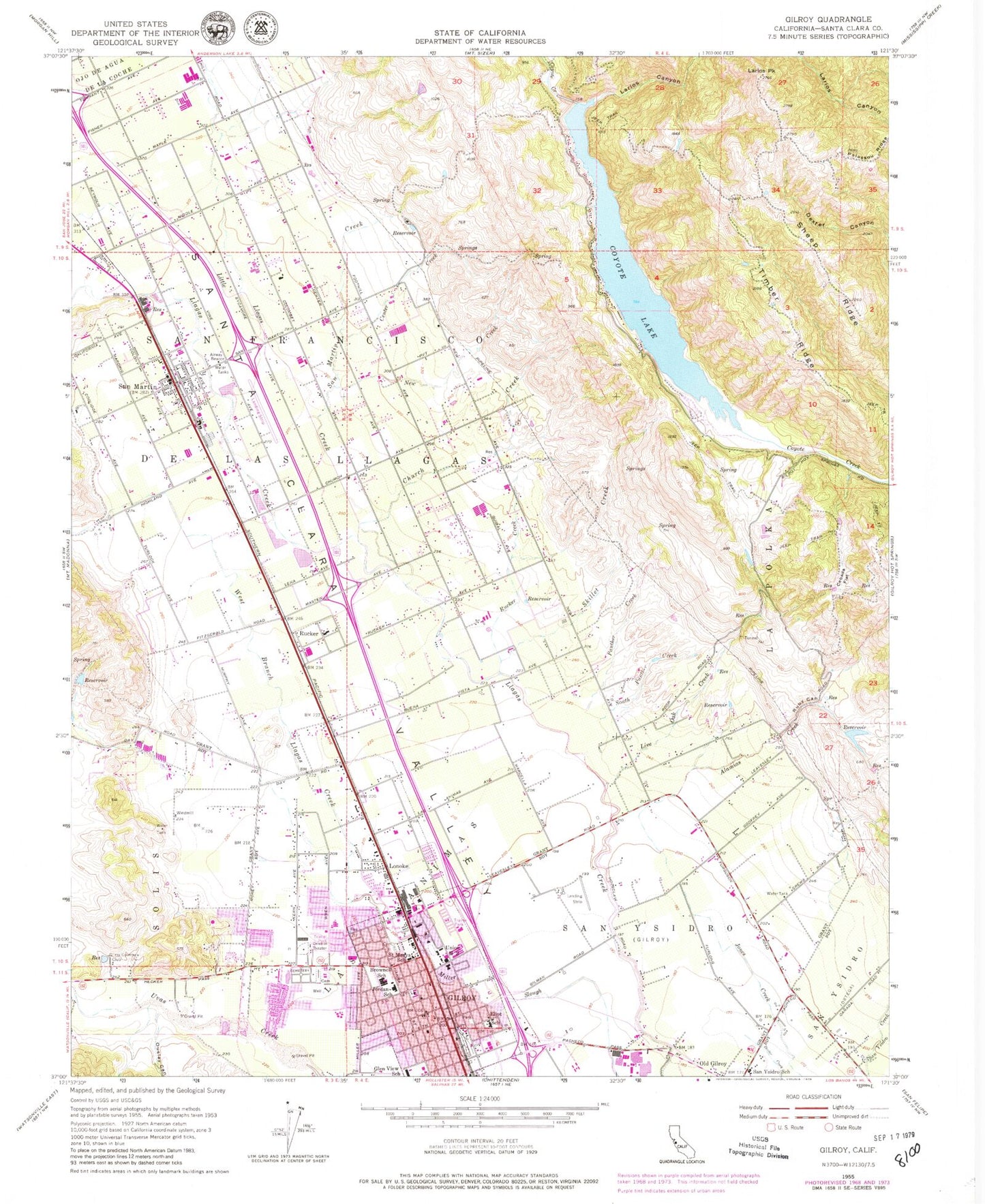
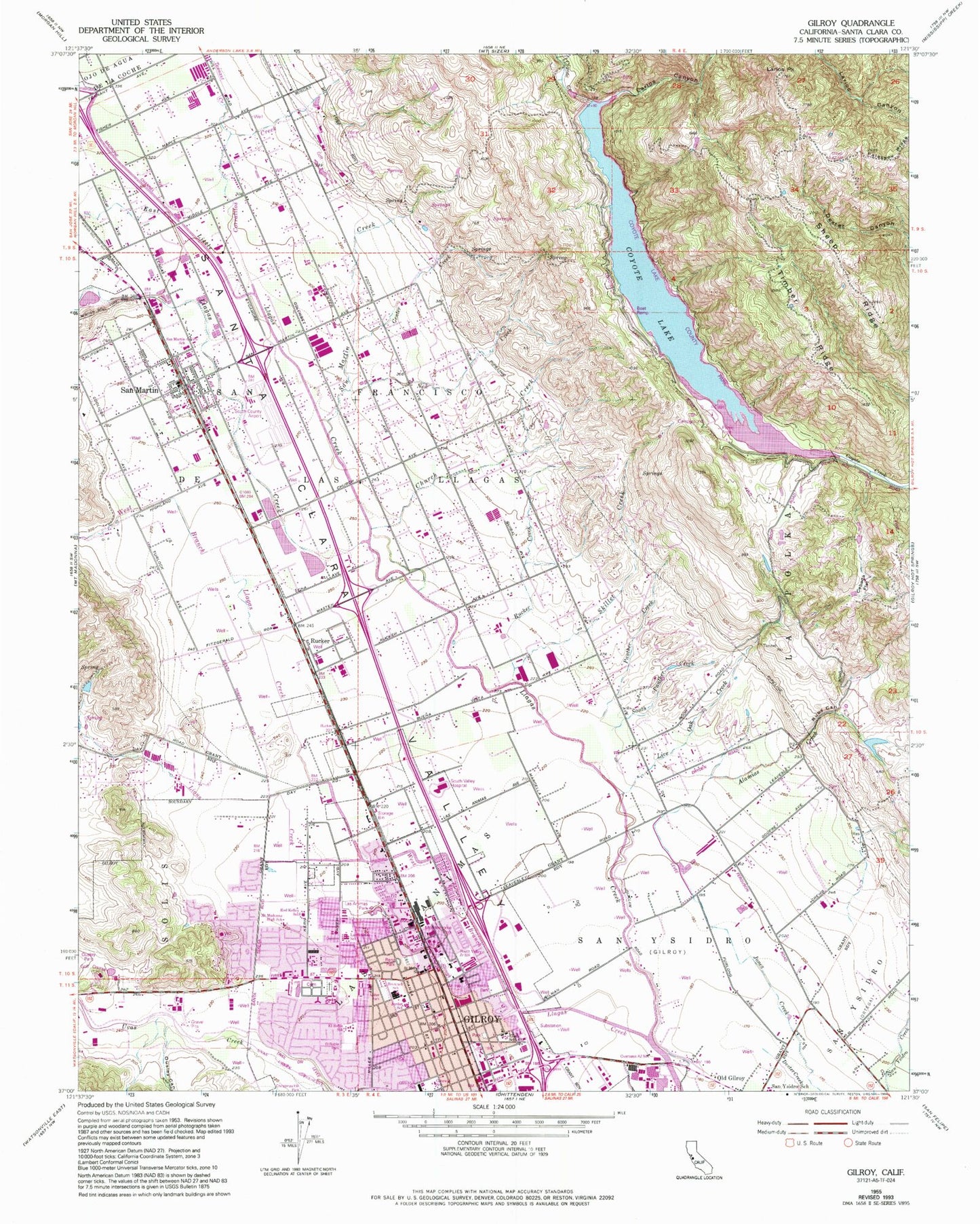
Classic USGS Gilroy California 7.5'x7.5' Topo Map
Couldn't load pickup availability
Historical USGS topographic quad map of Gilroy in the state of California. Map scale may vary for some years, but is generally around 1:24,000. Print size is approximately 24" x 27"
This quadrangle is in the following counties: Santa Clara.
The map contains contour lines, roads, rivers, towns, and lakes. Printed on high-quality waterproof paper with UV fade-resistant inks, and shipped rolled.
Contains the following named places: Alamias Creek, Anchorpoint Christian School, Antonio Del Buono Elementary School, Apostolic Assembly of the Faith in Christ Jesus Church, Ascencion Solorsano Middle School, Bethany Church of God in Christ, Beth-El Baptist Church, Brownell Middle School, Butcher Park, California Aircraft Antique Museum, California Department of Forestry and Fire Protection Station 2 Masten, California Highway Patrol Coastal Division - Gilroy - Hollister, CALSTAR 2 Air Ambulance, Cebada Flat, Center Creek, Christian Assembly Church, Christian Church of Gilroy, Christmas Hills Park, Christopher High School, Church Creek, Church of Christ, Church of God, City of Gilroy, Conrotto Winery, Coyote 72-002 Dam, Coyote Lake, Day Creek, El Roble Elementary School, El Roble Park, Eliot Elementary School, Family Life Center, First Baptist Church, First Baptist Church of San Martin, Foothills Foursquare Church, Forest Street Park, Full Gospel Prayer Tabernacle Church, Gateway School, Gilray Hot Springs Post Office, Gilroy, Gilroy Bible Church, Gilroy City Hall, Gilroy Community Day School, Gilroy Country Club, Gilroy Division, Gilroy Fire Department Chestnut Station, Gilroy Fire Department Las Animas Station, Gilroy Fire Department Sunrise Station, Gilroy Golf and Country Club, Gilroy Plaza Shopping Center, Gilroy Police Department, Gilroy Post Office, Gilroy Presbyterian Church, Gilroy Public Library, Glad Tidings Assembly of God Church, Glen View Elementary School, Hecker Pass Plaza Shopping Center, Hecker Pass Shopping Center, Hill Country Golf and Country Club, Horizon Outlet Shopping Center, Independent Order of Oddfellows Cemetery, Jordan Elementary School, La Polka, Larios Canyon, Larios Peak, Las Animas Park, Little Llagas Creek, Live Oak Creek, Lonoke, Luigi Aprea Elementary School, Lutheran Church of the Good Shepherd, Mexican American Community Services El Portal Leadership Academy, Miller Park, Monterey Street Music Academy, Mount Madonna High School, New Creek, New Hope Community Church, Ousley Canyon, Ousley Park, Pacific West Christian Academy, Pacific West Outlet Shopping Center, Panther Creek, Paul Masson Winery, Peabody 627 Dam, Renz Park, Rod Kelley Elementary School, Ruby Canyon, Rucker, Rucker Creek, Rucker Elementary School, Saint Louise Regional Hospital, Saint Mary School, Saint Marys Cemetery, Saint Marys Roman Catholic Church, Saint Stephens Episcopal Church, San Francisco De Las Llagas, San Martin, San Martin Airport, San Martin Census Designated Place, San Martin Creek, San Martin Gwinn Elementary School, San Martin Post Office, San Martin Presbyterian Church, San Martin Vineyards, San Ysidro, San Ysidro Park, Sanchez-South County Government Center, Santa Clara Conduit, Santa Clara County Sheriff's Office South County Substation, Selvage Number 2 625 Dam, Seventh Day Adventist Church, Sheep Ridge, Skillet Creek, South Panther Creek, South Santa Clara Valley Division, South Valley Church of Christ, South Valley Community Church, South Valley Hospital Heliport, South Valley Medical Center, South Valley Middle School, South Valley Plaza Shopping Center, The Outlets at Gilroy Shopping Center, Timber Ridge, Town Plaza Shopping Center, Trinity Bible Church, United in Christ Church, Veterans Memorial Building, Victory Outreach Church, West Branch Llagas Creek, Westwood Shopping Center, Wheeler Civic Auditorium, Wheeler Hospital, ZIP Codes: 95020, 95046


