MyTopo
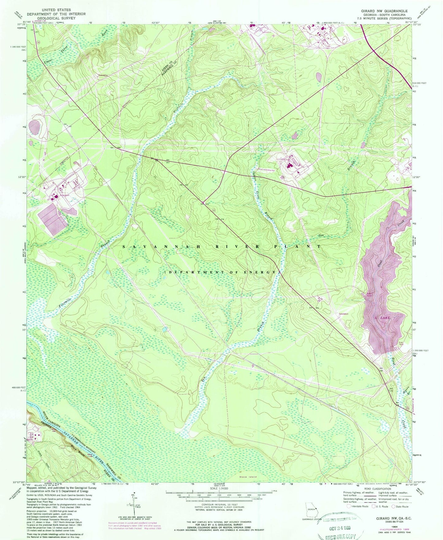
Classic USGS Girard NW South Carolina 7.5'x7.5' Topo Map
Couldn't load pickup availability
Historical USGS topographic quad map of Girard NW in the states of South Carolina, Georgia. Map scale may vary for some years, but is generally around 1:24,000. Print size is approximately 24" x 27"
This quadrangle is in the following counties: Aiken, Barnwell, Burke.
The map contains contour lines, roads, rivers, towns, and lakes. Printed on high-quality waterproof paper with UV fade-resistant inks, and shipped rolled.
Contains the following named places: Ashley Place, Beaverdam Creek, Blue Bluff, Brinleys Mill, Cassels Fire Tower, Castles Pond, Chandler Landing, Daisy May Church, Four Mile Church, Four Mile School, Fourmile Branch, Friendship Church, Griffins Store, Indian Grave Branch, Leigh, Long Branch School, Meyers Branch, Park School, Parks Church, Robbins, Robbins Station, Saint Luke Church, Srp Number 16-403-D D-3073 Dam, Srp Number 18-488-10 D-3077 Dam, Steel Creek School, Substation Number 1, Substation Number 3, Vegp Visitor Center Heliport