MyTopo
Classic USGS Gisela Arizona 7.5'x7.5' Topo Map
Couldn't load pickup availability
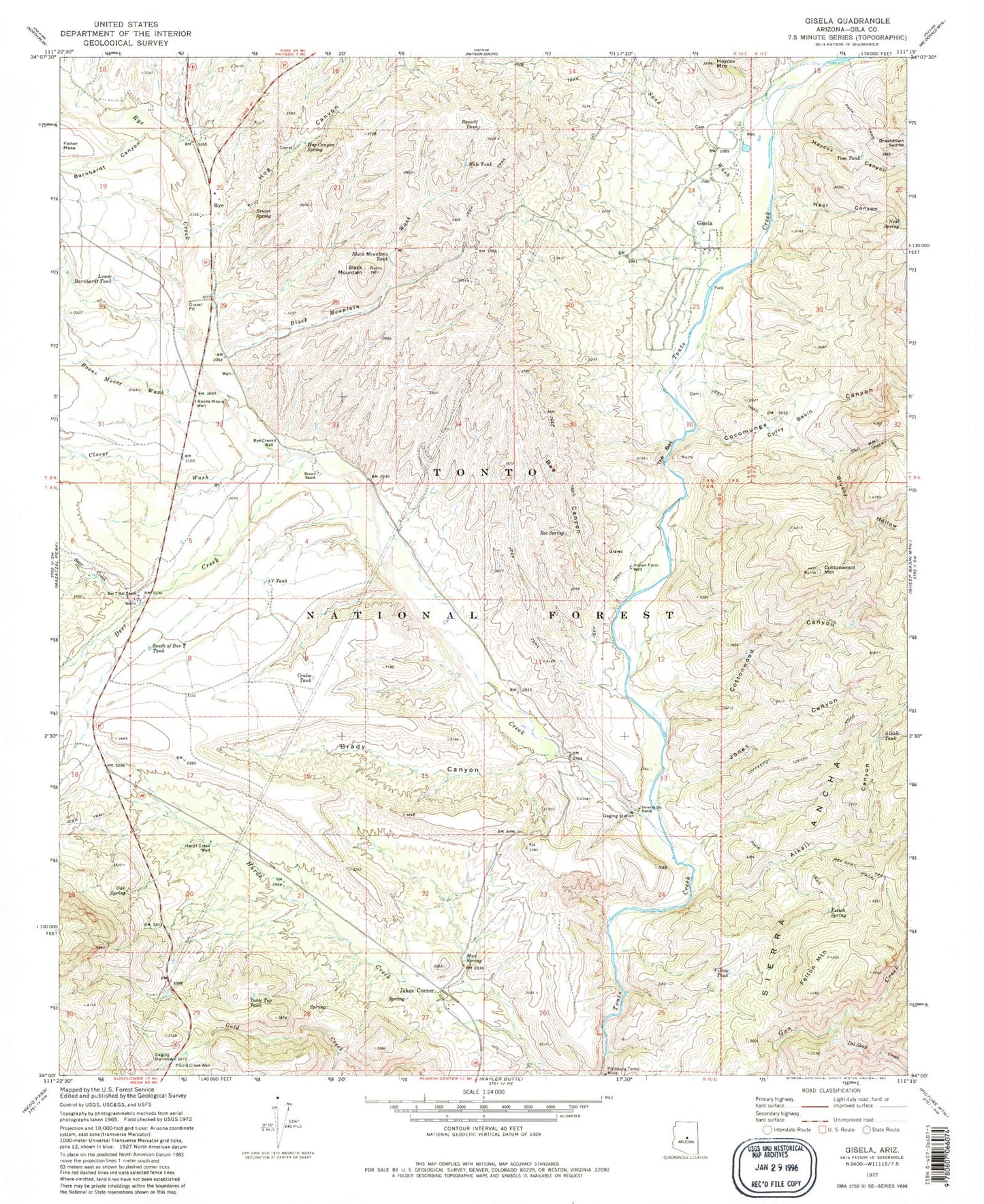
Historical USGS topographic quad map of Gisela in the state of Arizona. Map scale may vary for some years, but is generally around 1:24,000. Print size is approximately 24" x 27"
This quadrangle is in the following counties: Gila.
The map contains contour lines, roads, rivers, towns, and lakes. Printed on high-quality waterproof paper with UV fade-resistant inks, and shipped rolled.
Contains the following named places: Alkali Canyon, Alkali Spring, Alkali Tank, Bar T Bar Ranch, Barnhardt Canyon, Bassett Tank, Bear Creek, Bee Canyon, Bee Spring, Black Mountain, Black Mountain Tank, Black Mountain Wash, Boone Moore Wash, Boone Moore Well, Brady Canyon, Breakdown Saddle, Brown Ranch, Brown Spring, Brushy Hollow, Clover Wash, Cocomunga Canyon, Cottonwood Canyon, Cottonwood Mountain, Coulee Tank, Curry Basin, Deer Creek, Deer Creek Census Designated Place, Deer Creek Trailhead, Del Shay Creek, Felton Mountain, Felton Spring, Gisela, Gisela Census Designated Place, Gisela Tank, Gisela Valley Fire Department, Gold Creek Well, Grass Valley, H Bar Ranch, Hale Tank, Hardt Creek Well, Haycox Canyon, Haycox Mountain, Hog Canyon, Hog Canyon Spring, Indian Farm Well, Jakes Corner, Jakes Corner Census Designated Place, Jones Canyon, Lower Barnhardt Tank, Midget Draw, Mud Spring, Neal Canyon, Neal Spring, Oak Spring, Oxbow Gulch, Pittsburg Tonto Mine, Rye, Rye Census Designated Place, Rye Creek, Rye Creek Well, Sand Wash, Sand Wash Spring, Seventy Six Ranch, South of Bar T Tank, Sycamore Wash, Table Top Tank, The Box, Three V Tank, Tom Tank, Tonto Basin Fire District Station Number 5, Willow Tank


