MyTopo
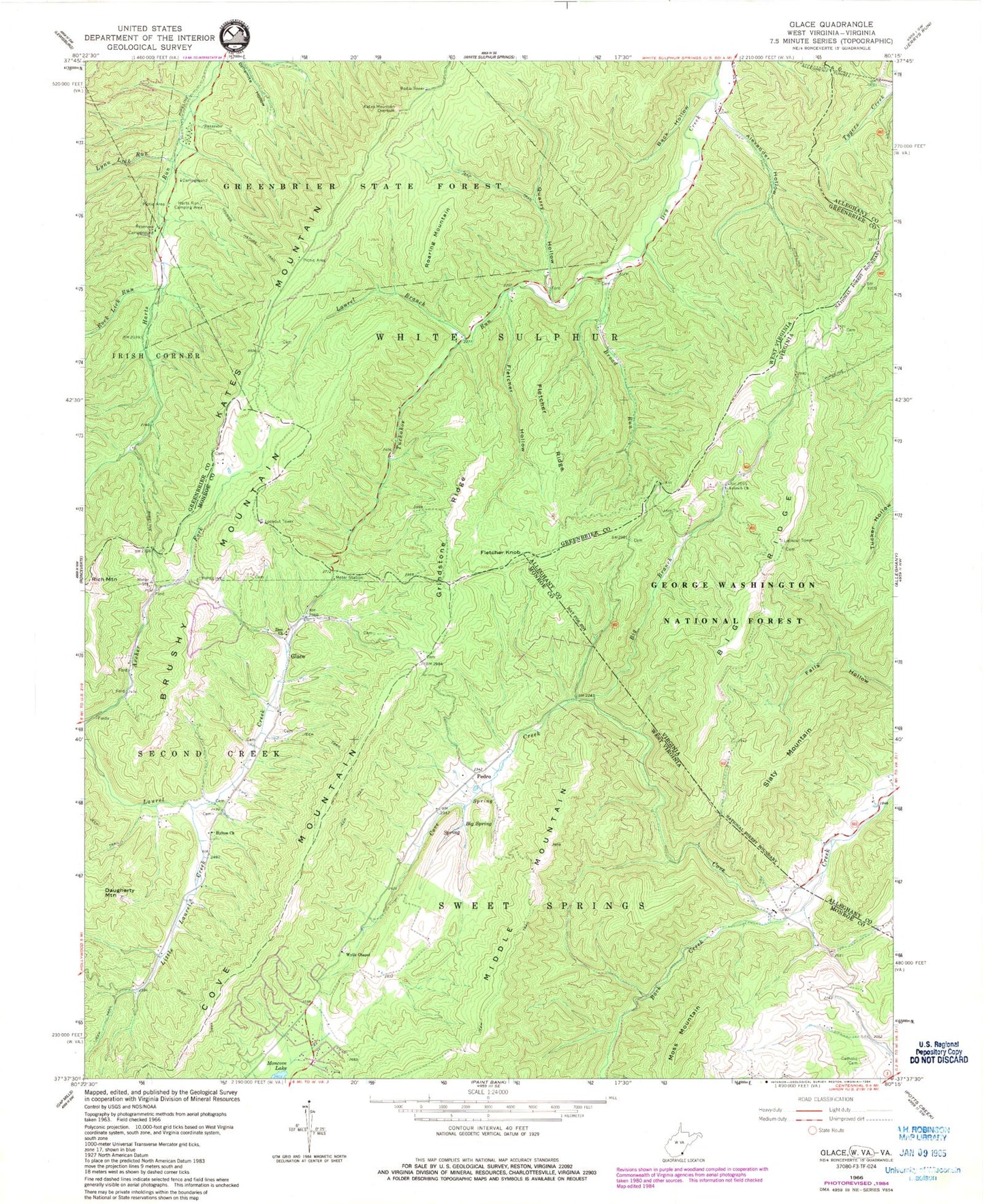
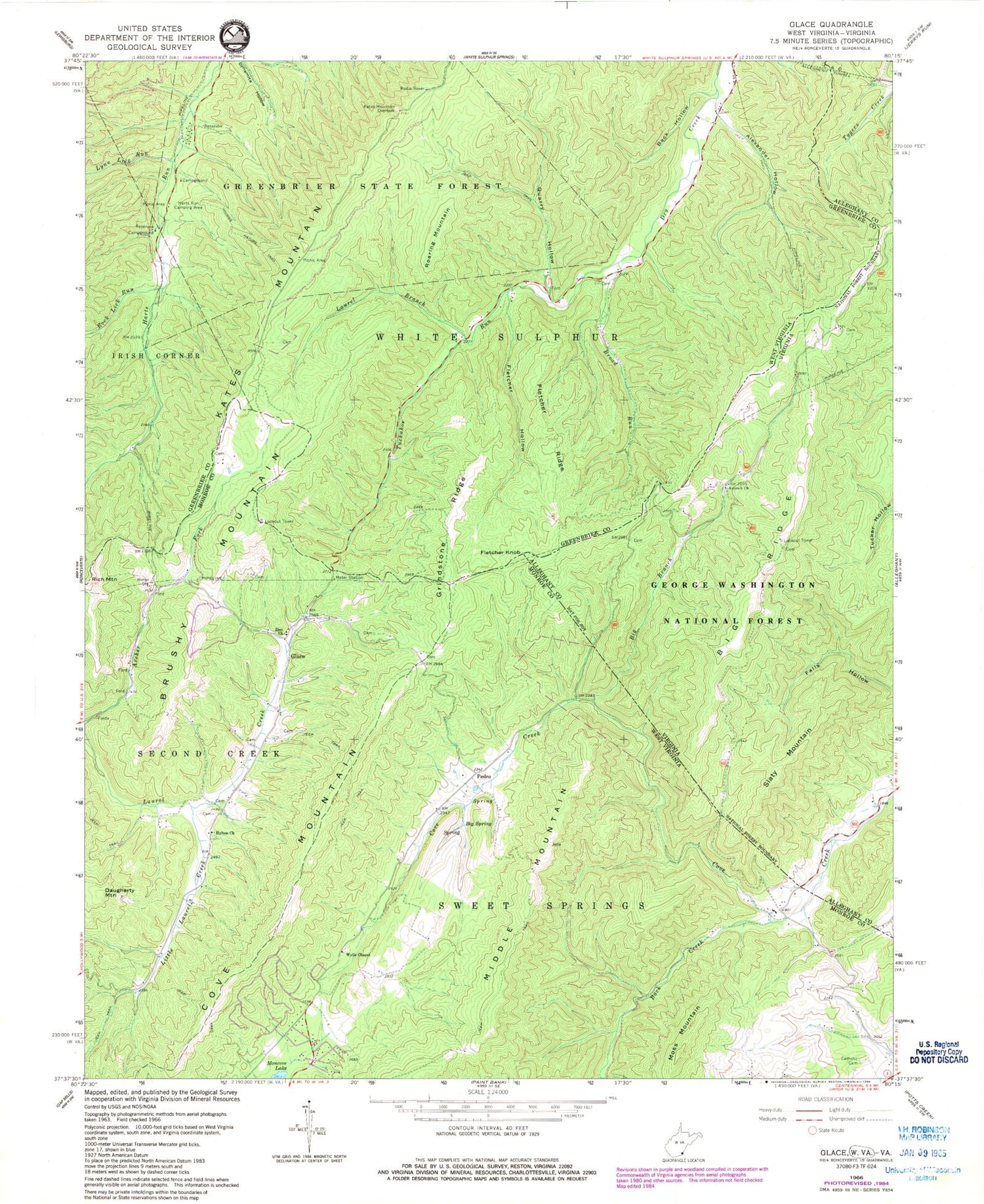
Classic USGS Glace West Virginia 7.5'x7.5' Topo Map
Couldn't load pickup availability
Historical USGS topographic quad map of Glace in the states of West Virginia, Virginia. Typical map scale is 1:24,000, but may vary for certain years, if available. Print size: 24" x 27"
This quadrangle is in the following counties: Alleghany, Greenbrier, Monroe.
The map contains contour lines, roads, rivers, towns, and lakes. Printed on high-quality waterproof paper with UV fade-resistant inks, and shipped rolled.
Contains the following named places: Fletcher Knob, Alexander Hollow, Allegheny Tunnel, Back Creek, Back Hollow, Big Branch, Big Spring, Broad Run, Catholic Cemetery, Fletcher Hollow, Fletcher Ridge, Greenbrier State Forest, Grindstone Ridge, Harts Run Camping Area, Hylton Church, Kates Mountain Overlook, Laurel Branch, Little Laurel Creek, Lynn Lick Run, Middle Mountain, Moss Mountain, Pedro, Quarry Hollow, Roaring Mountain, Rock Lick Run, Tuckahoe Run, Wylie Chapel, Youngs Nature Trail, Zion Church, Brushy Mountain, Daugherty Mountain, Glace, Harts Run School (historical), Pentecostal Church, Upper Tuckahoe School (historical), Brushy Mountain Lookout Tower, Cove Creek School (historical), Dowdy Cemetery, Glace School (historical), Hilton School (historical), Negro Mountain, Cove Creek Spring, Rich Mountain, Glace Post Office, Cove Creek Wildlife Management Area, Allegheny Tunnel, Antioch Church, Big Branch, Big Ridge, Slaty Mountain, Big Ridge Lookout, Big Branch School (historical)


