MyTopo
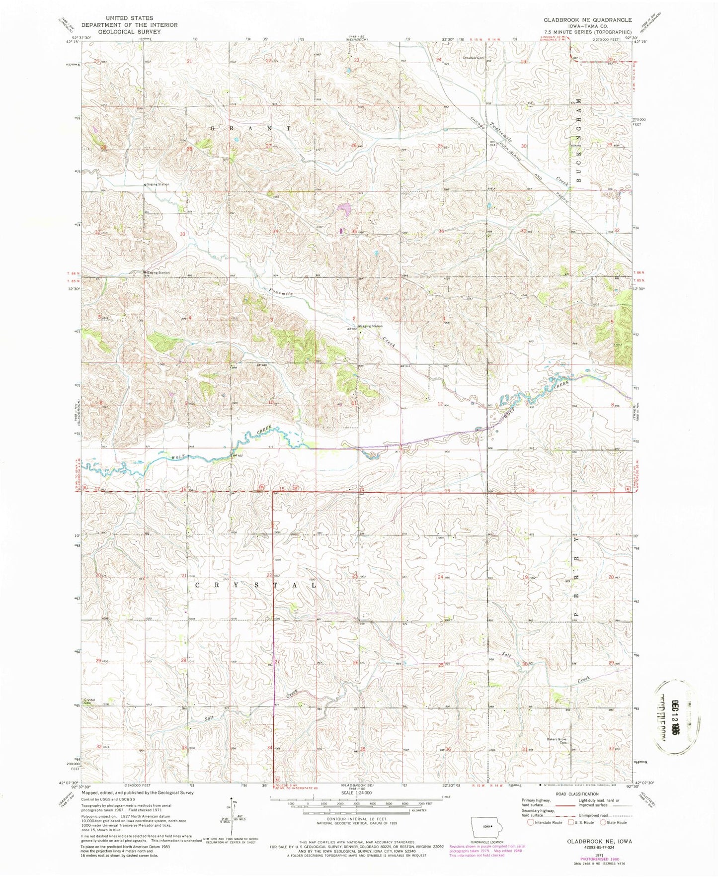
Classic USGS Gladbrook Iowa 7.5'x7.5' Topo Map
Couldn't load pickup availability
Historical USGS topographic quad map of Gladbrook in the state of Iowa. Map scale may vary for some years, but is generally around 1:24,000. Print size is approximately 24" x 27"
This quadrangle is in the following counties: Tama.
The map contains contour lines, roads, rivers, towns, and lakes. Printed on high-quality waterproof paper with UV fade-resistant inks, and shipped rolled.
Contains the following named places: Badger Hill, Badger Hill Cemetery, Badger Hill Post Office, Christ Lutheran Church, City of Gladbrook, Conants Park, Crystal Cemetery, Devils Run, Fairhaven Post Office, Gethman Cemetery, Gladbrook, Gladbrook - Lincoln Ambulance, Gladbrook - Reinbeck Middle School, Gladbrook Church of God, Gladbrook City Hall, Gladbrook Co-op Company Elevator, Gladbrook Elementary School, Gladbrook Family Health Center, Gladbrook Post Office, Gladbrook Public Library, Little Wolf Creek, Maple Hill Cemetery, Oakwood, Oakwood Post Office, Peace United Church of Christ, Site of Former Badger Hill Historical Marker, Site of Former Union Grove Historical Marker, Spring Creek Post Office, Tama County Fairgrounds, Township of Spring Creek, Union Grove Cemetery, Union Grove Lake, Union Grove State Park, United Methodist Church, Westbrook Acres Nursing Home, ZIP Code: 50635