MyTopo
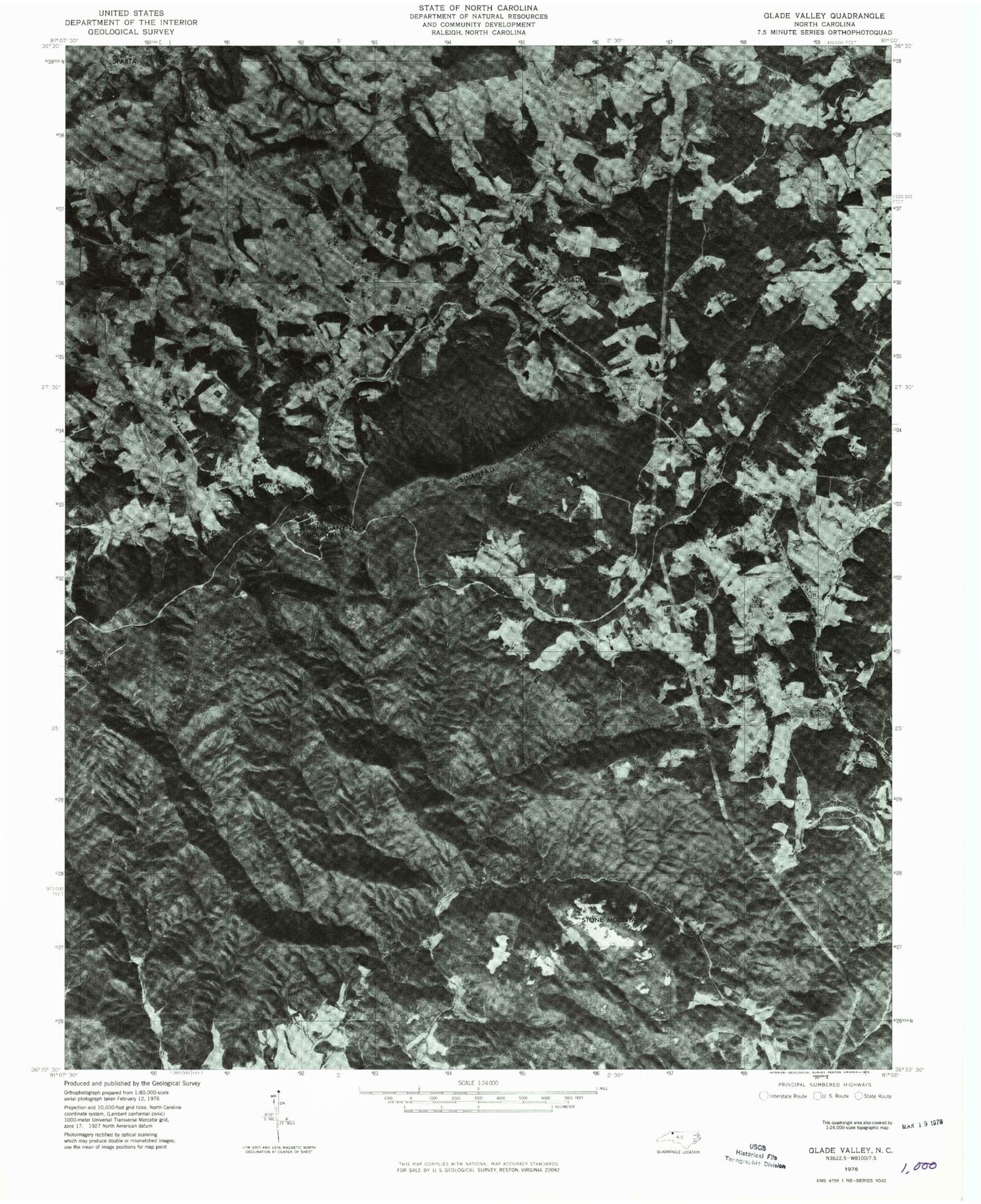
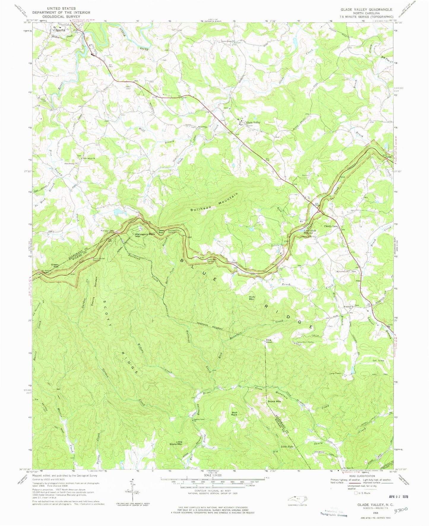
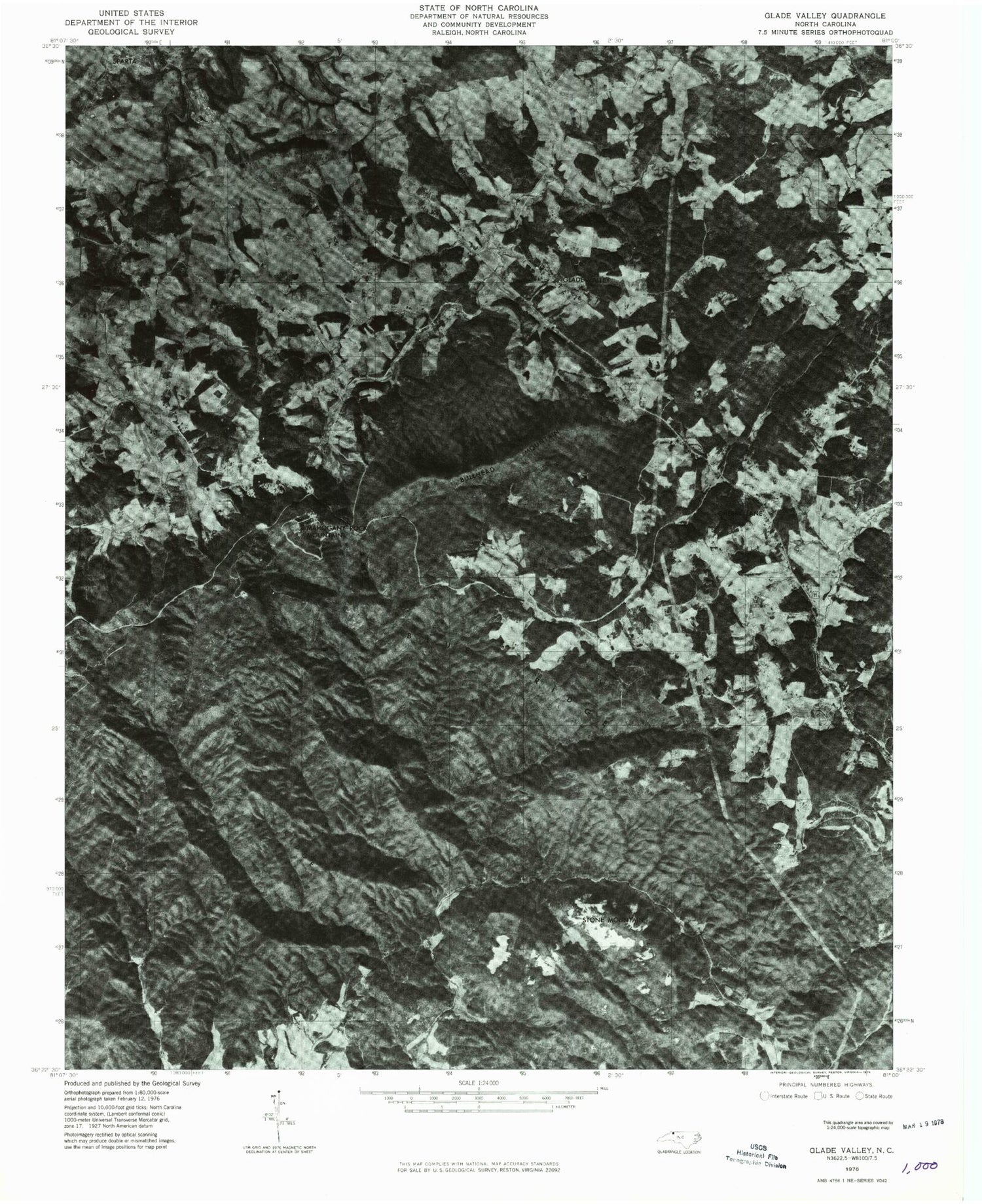
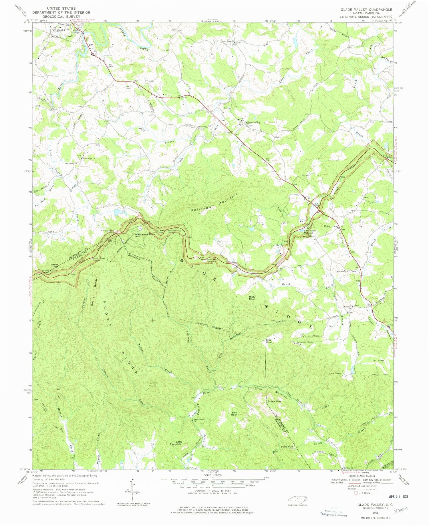
Classic USGS Glade Valley North Carolina 7.5'x7.5' Topo Map
Couldn't load pickup availability
Historical USGS topographic quad map of Glade Valley in the state of North Carolina. Typical map scale is 1:24,000, but may vary for certain years, if available. Print size: 24" x 27"
This quadrangle is in the following counties: Alleghany, Wilkes.
The map contains contour lines, roads, rivers, towns, and lakes. Printed on high-quality waterproof paper with UV fade-resistant inks, and shipped rolled.
Contains the following named places: Air Bellows Overlook, Big Pine Creek, Bledsoe Creek, Bullhead Creek, Bullhead Mountain, Bullhead Mountain Overlook, Camp Albert Butler, Camp Cheerio, Cherry Lane, Cherry Lane Union Baptist Church, Deep Gap, Devils Garden, Devils Garden Overlook, Dogwood Trail, Elk Spur Church, Ellis Knoll, Garden Creek, Garden Creek Baptist Church, Glade Valley, Haynes Branch, Horse Cove Branch, Laura Glenn Church, Laurel Branch, Little Falls, Little Glade Creek, Little Glade Millpond, Little Stone Mountain, Macedonia Baptist Church, Mahogany Rock Overlook, Mount Carmel Union Baptist Church, New Salem Baptist Church, No Head Branch, Pine Swamp Church, Pine Swamp Creek, Rich Mountain, Rich Mountain Creek, Rock Branch, Scott Ridge, Stone Mountain, Stone Mountain Creek, Stone Mountain Overlook, Widows Creek, Wolf Branch, Wolf Rock, Woodruff Primitive Baptist Church, Camp Cheerio Lake, Camp Cheerio Dam, Noname, Van Dillon Dam, Temple Lake, Temple Lake Dam, Alton Thompson Dam, WCOK-AM (Sparta), Green Mountain, Mahogany Rock Mountain, Miles, Township of Cherry Lane, Stone Mountain State Park, Cherry Lane Cemetery, Glade Valley Cemetery, Glade Valley High School (historical), Glade Valley Presbyterian Church, Laurel Glenn Cemetery, Macedonia Cemetery, Pine Swamp, Sparta Mill Pond (historical), Thompson Mill (historical), Woodruff Cemetery, Garden Creek School (historical), Cherry Lane Volunteer Fire Department, Glade Valley Post Office


