MyTopo
Classic USGS Glade Washington 7.5'x7.5' Topo Map
Regular price
$16.95
Regular price
Sale price
$16.95
Unit price
per
Couldn't load pickup availability
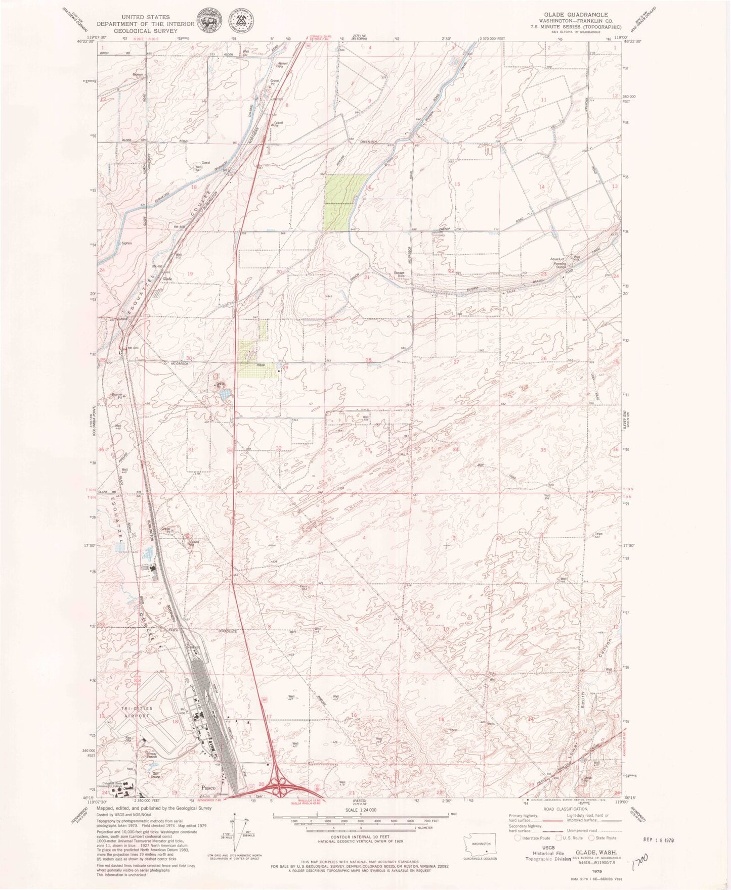
Historical USGS topographic quad map of Glade in the state of Washington. Map scale may vary for some years, but is generally around 1:24,000. Print size is approximately 24" x 27"
This quadrangle is in the following counties: Franklin.
The map contains contour lines, roads, rivers, towns, and lakes. Printed on high-quality waterproof paper with UV fade-resistant inks, and shipped rolled.
Contains the following named places: Columbia Basin College, Esquatzel Coulee, Franklin County Fire District 3 Station 35, Glade, Naval Air Station Pasco, New Horizon High School, Pasco Fire Department / Ambulance Service Station 82 Airport, Pasco Kindergarten, Tri-Cities Airport