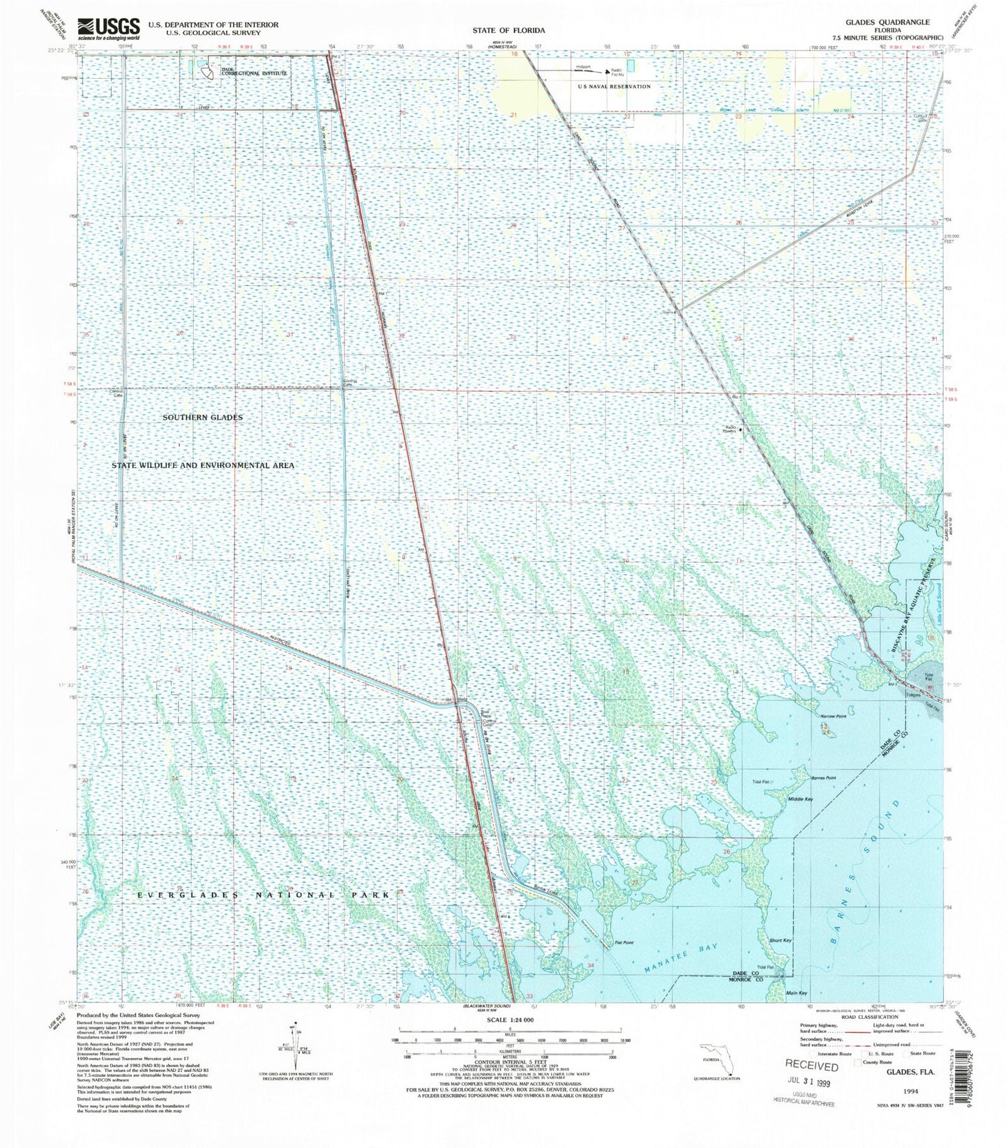
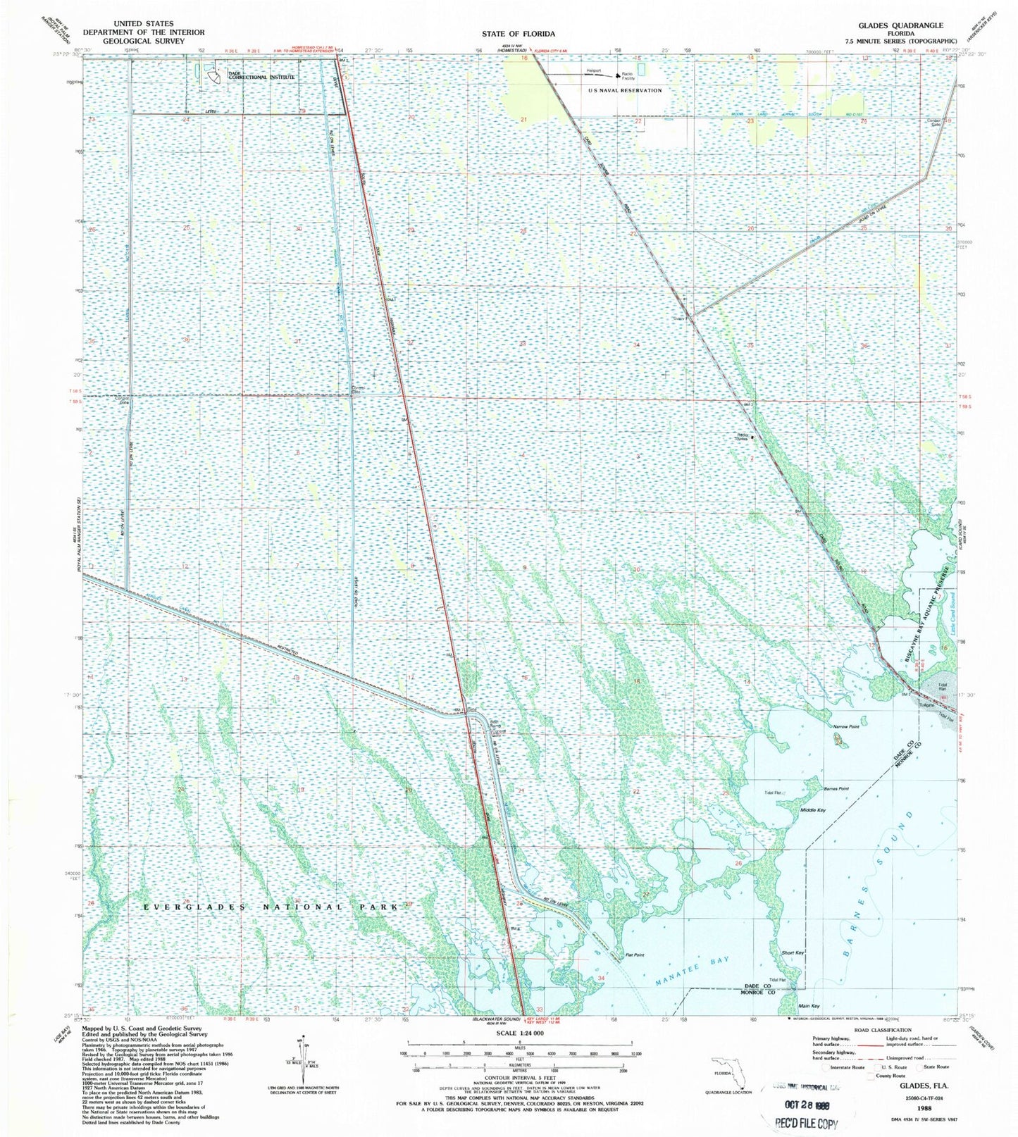
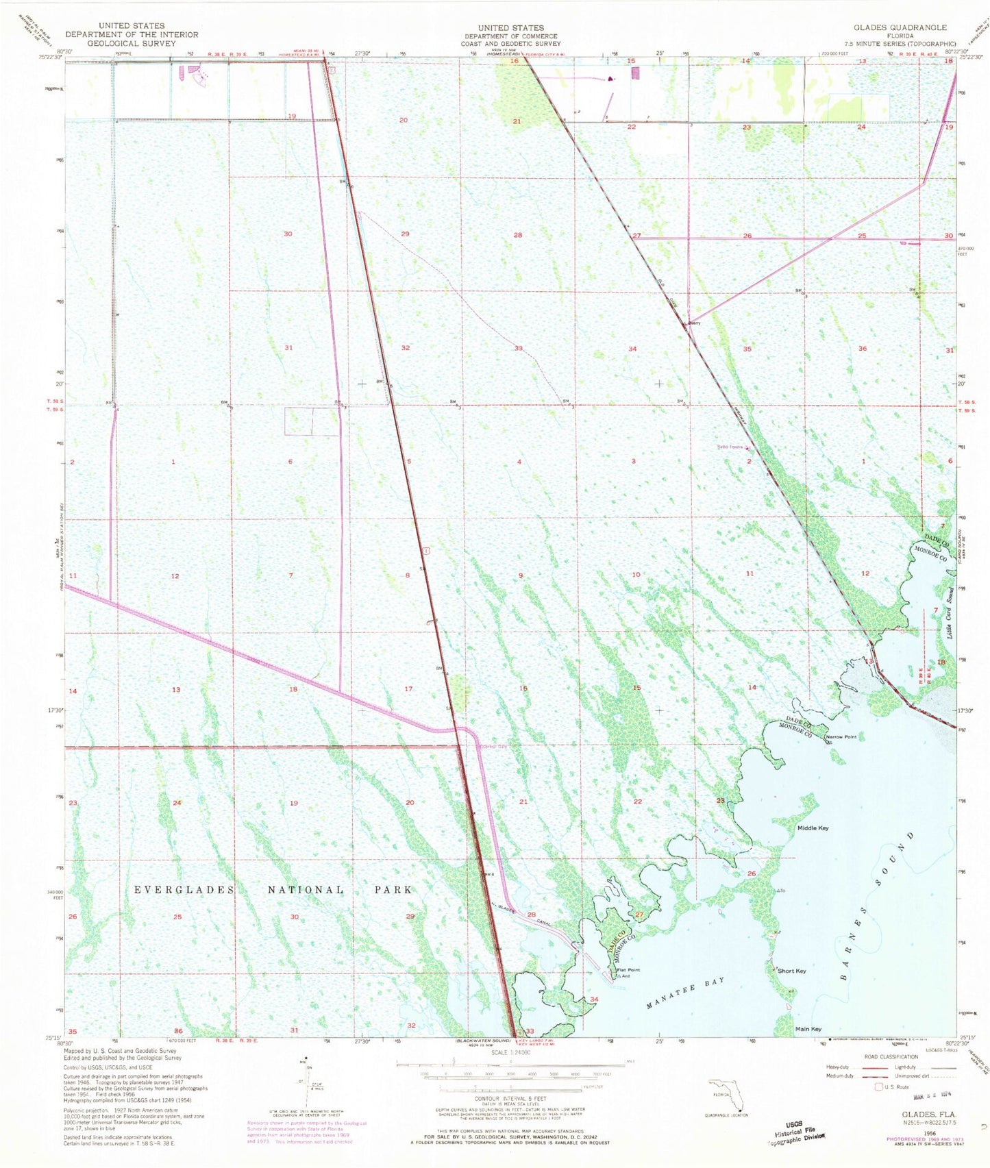
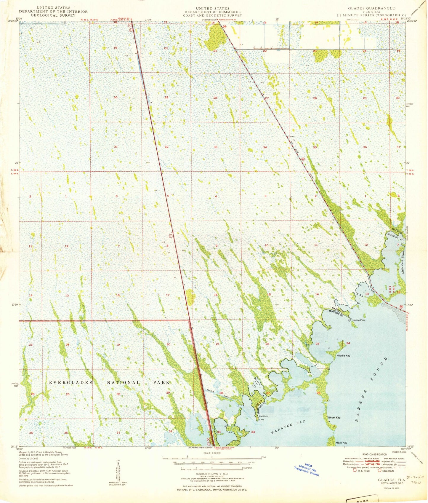
MyTopo
Classic USGS Glades Florida 7.5'x7.5' Topo Map
Regular price
$16.95
Regular price
Sale price
$16.95
Unit price
per
Couldn't load pickup availability
Historical USGS topographic quad map of Glades in the state of Florida. Map scale may vary for some years, but is generally around 1:24,000. Print size is approximately 24" x 27"
This quadrangle is in the following counties: Miami-Dade, Monroe.
The map contains contour lines, roads, rivers, towns, and lakes. Printed on high-quality waterproof paper with UV fade-resistant inks, and shipped rolled.
Contains the following named places: Aerojet Canal Number C-111, Barnes Point, Canal Number C-110, Dade Correctional Institute, Flat Point, Glades Canal, Homestead Division, Manatee Bay, Middle Key, Narrow Point, Short Key, United States Highway Canal Number C-109