MyTopo
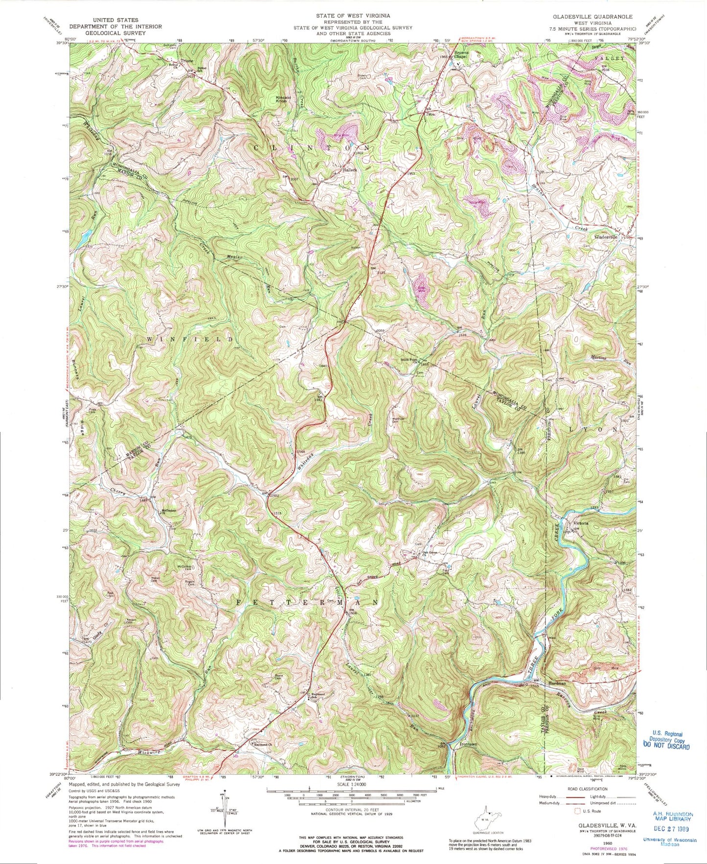
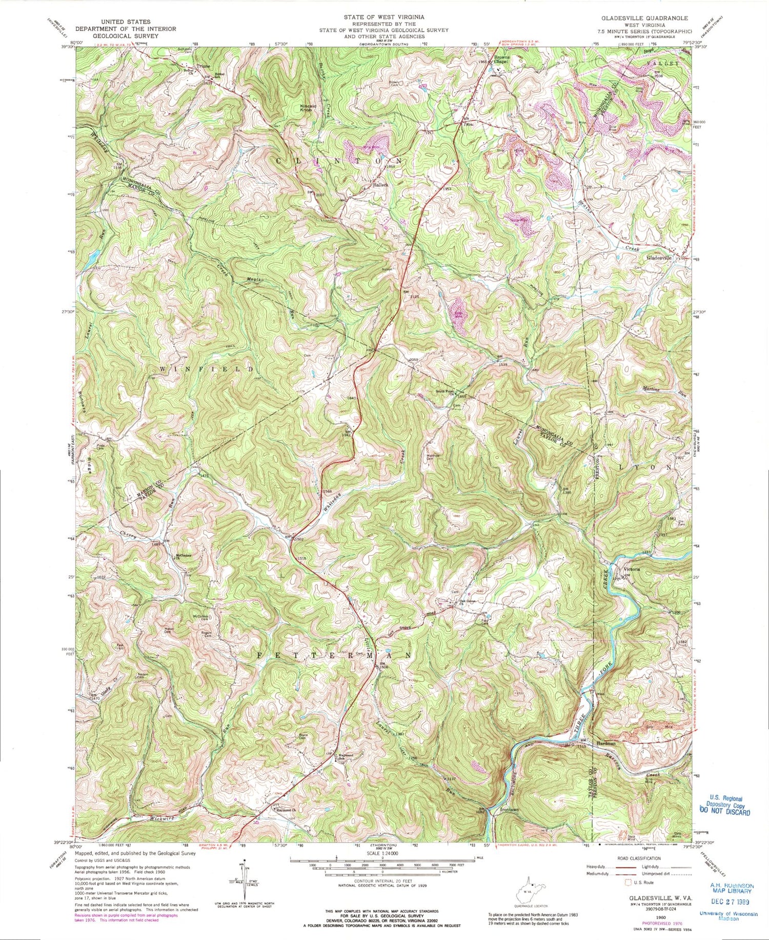
Classic USGS Gladesville West Virginia 7.5'x7.5' Topo Map
Couldn't load pickup availability
Historical USGS topographic quad map of Gladesville in the state of West Virginia. Typical map scale is 1:24,000, but may vary for certain years, if available. Print size: 24" x 27"
This quadrangle is in the following counties: Marion, Monongalia, Preston, Taylor.
The map contains contour lines, roads, rivers, towns, and lakes. Printed on high-quality waterproof paper with UV fade-resistant inks, and shipped rolled.
Contains the following named places: Amnon Cemetery, Bethel Baptist Church, Bethel School (historical), Boyce Cemetery, Brown Cemetery, Browns Chapel, Cherry Run, Ford Cemetery, Haymond United Methodist Church, Haymond School (historical), Laurel Run, Laurel Run, Little Laurel Run, Maple Run, Matthew Cemetery, McConkey Cemetery, McConkey Church, Moran Cemetery, Oak Grove Church, Pride Cemetery, Raccoon Creek, Rogers Cemetery, South Point Church, Victoria, Gladesville, Halleck, Hardman, Irontown, Kincaid Knob, Triune, Manacea Spring, Laurel Run Lake Dam, Fairview School (historical), Amnon Primitive Baptist Church (historical), Dean Schoolhouse (historical), Laurel Run School (historical), McConkey School (historical), Oak Grove Cemetery, Oak Grove School (historical), Roderick School (historical), Wickwire School (historical), Moran School (historical), Browns Chapel Elementary School, Browns Chapel Methodist Church, Browns-Halleck Library, Hope Halleck United Methodist Church, Kincaid School (historical), Martin School (historical), Oakdale School (historical), Triune - Halleck Volunteer Fire Department, Hope Halleck United Methodist Church Cemetery, Faith Christian Fellowship, Paradise Lake Golf Course


