MyTopo
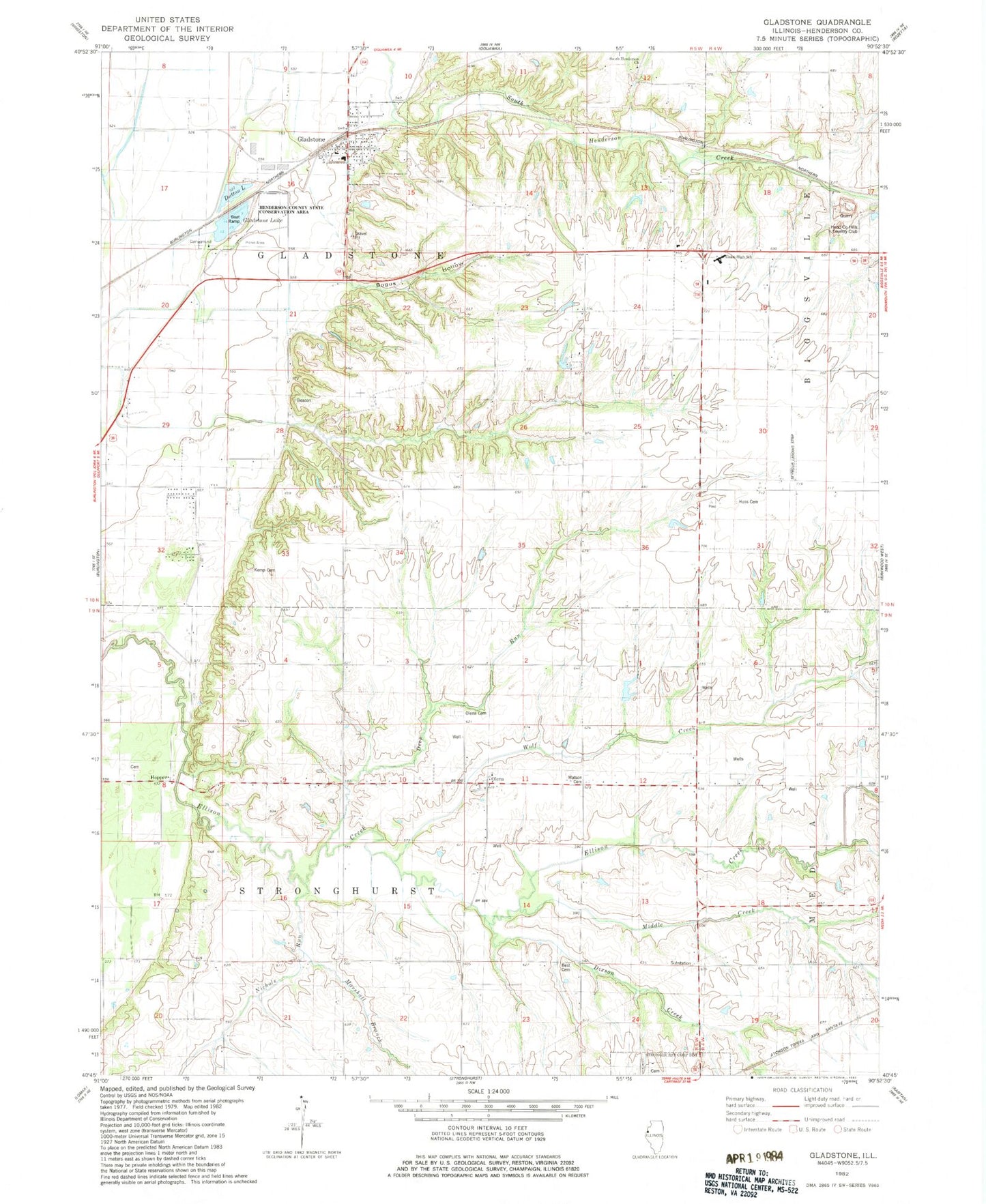
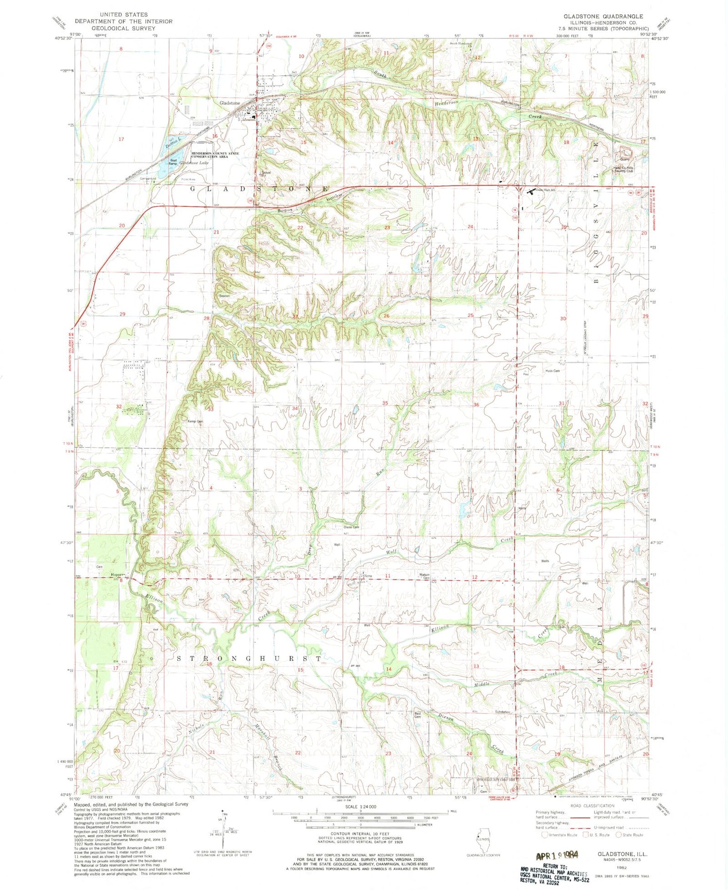
Classic USGS Gladstone Illinois 7.5'x7.5' Topo Map
Couldn't load pickup availability
Historical USGS topographic quad map of Gladstone in the state of Illinois. Map scale may vary for some years, but is generally around 1:24,000. Print size is approximately 24" x 27"
This quadrangle is in the following counties: Henderson.
The map contains contour lines, roads, rivers, towns, and lakes. Printed on high-quality waterproof paper with UV fade-resistant inks, and shipped rolled.
Contains the following named places: Best Cemetery, Biggsville Quarry, Bogus Hollow, Burrell School, Coloma School, Deep Run, Dixson Creek, Dowell Lake, Dowell Lake Dam, Dutton Lake, Gladstone, Gladstone Ambulance Service, Gladstone Lake, Gladstone Post Office, Gladstone United Methodist Church, Gladstone Volunteer Fire Department, Graham School, Heisler School, Hend-Co Hills Country Club, Henderson County, Henderson State County Conservation Area, Hopper, Hopper Cemetery, Huss Cemetery, Kemp Cemetery, Marshall Branch, Middle Creek, Nichols Run, Olena, Olena Cemetery, Pleasant Hill School, Prairie School, Seymour Landing Strip, South Henderson Cemetery, South Henderson Church, Stone School, Township of Gladstone, Township of Stronghurst, Twin Lakes, Union High School, Village of Gladstone, Watson Cemetery, Wolf Creek, ZIP Code: 61437


