MyTopo
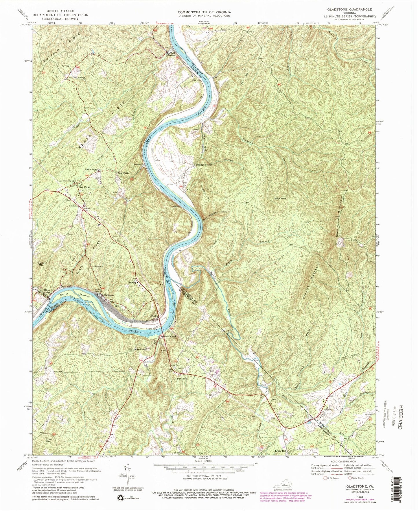
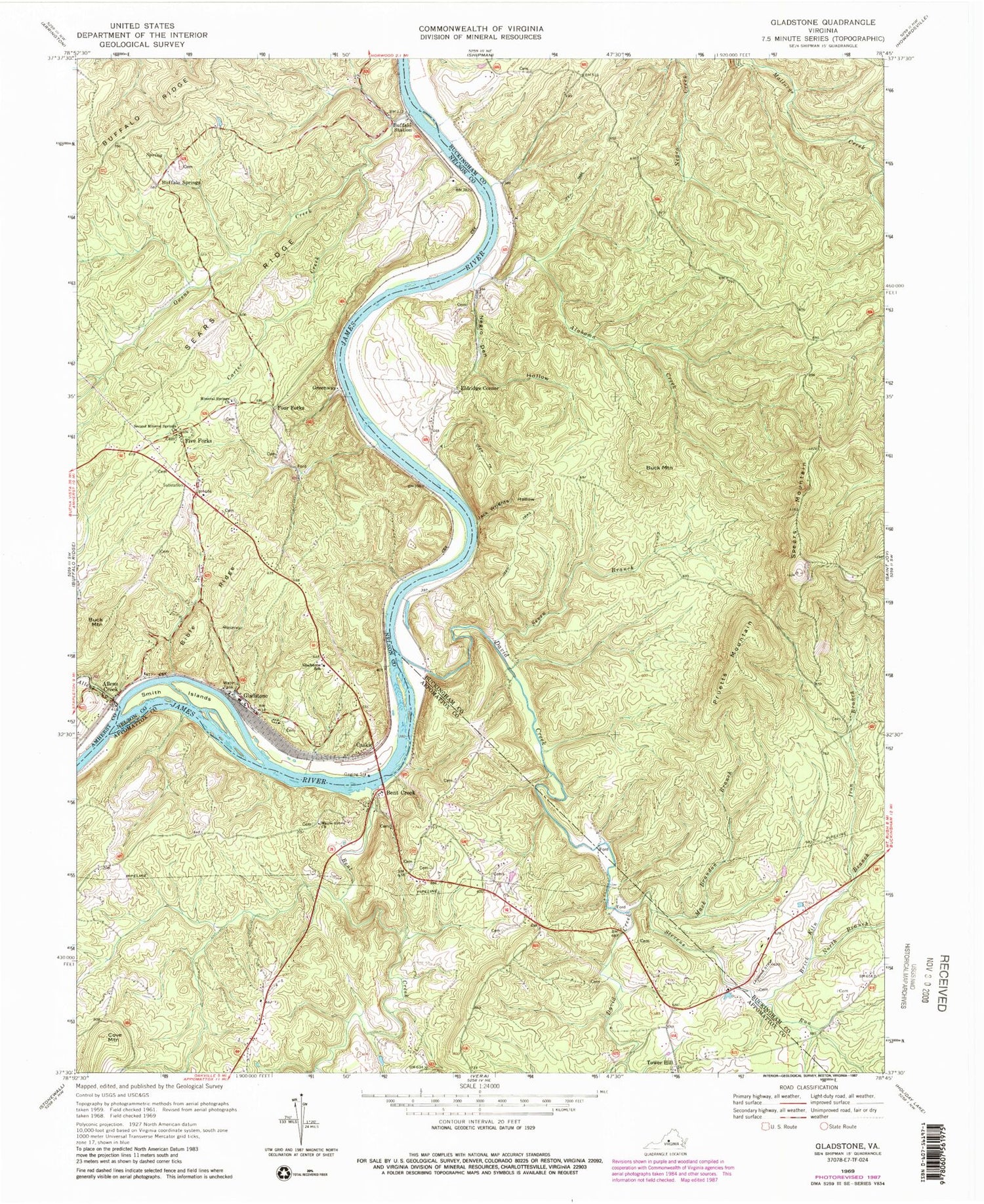
Classic USGS Gladstone Virginia 7.5'x7.5' Topo Map
Couldn't load pickup availability
Historical USGS topographic quad map of Gladstone in the state of Virginia. Typical map scale is 1:24,000, but may vary for certain years, if available. Print size: 24" x 27"
This quadrangle is in the following counties: Amherst, Appomattox, Buckingham, Nelson.
The map contains contour lines, roads, rivers, towns, and lakes. Printed on high-quality waterproof paper with UV fade-resistant inks, and shipped rolled.
Contains the following named places: Alabama Creek, Allens Creek, Bent Creek, Bible Ridge, Brick Kiln Branch, Buck Mountain, Buffalo Station, Carter Creek, Cove Mountain, David Creek, Gladstone School, Iron Branch, Jack Wrights Hollow, Mack Brandon Branch, Maple Grove Baptist Church, Mineral Springs Church, Negro Den Hollow, North Branch Brick Kiln Branch, Owens Creek, Sears Ridge, Second Mineral Springs Church, Seven Branch, Smith Islands, Spears Mountain, Stevens Run, Tower Hill, Buffalo Springs, Eldridge Corner, Five Forks, Allens Creek, Bent Creek, Buck Mountain, Caskie, Four Forks, Gladstone, Greenway, Pruetts Mountain, Migginsons Ferry (historical), Gladstone Volunteer Fire Department, Gladstone Rescue Squad


