MyTopo
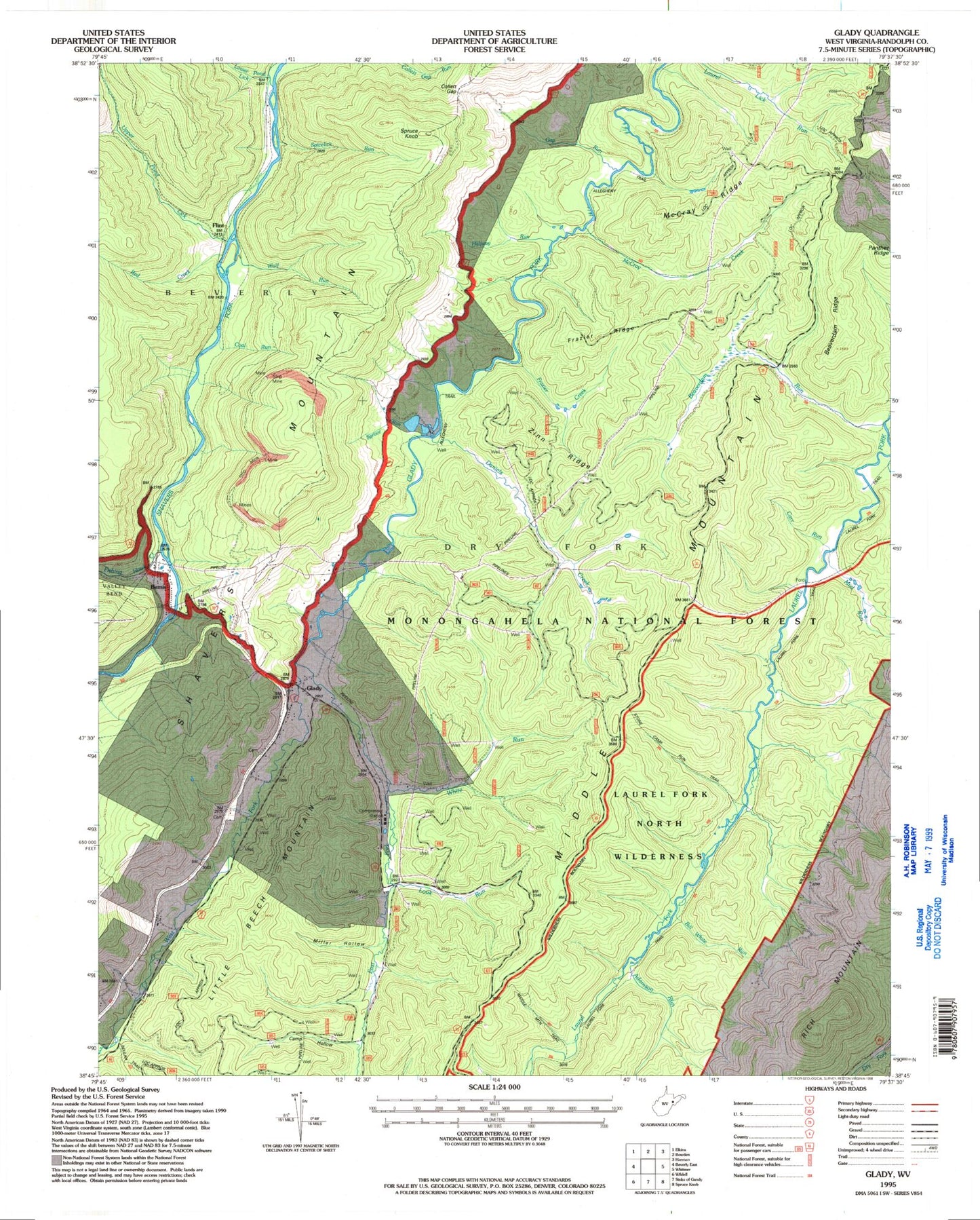
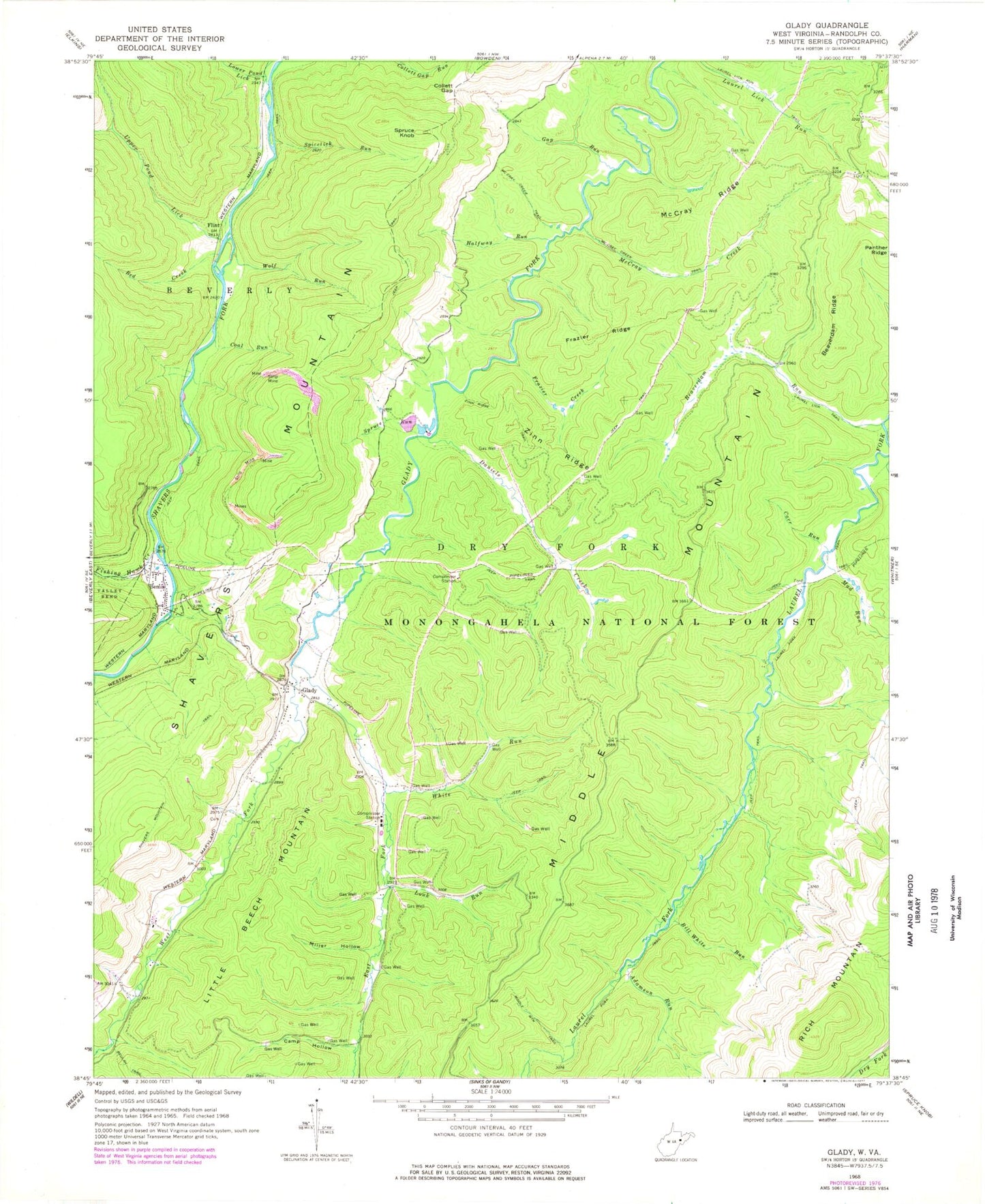
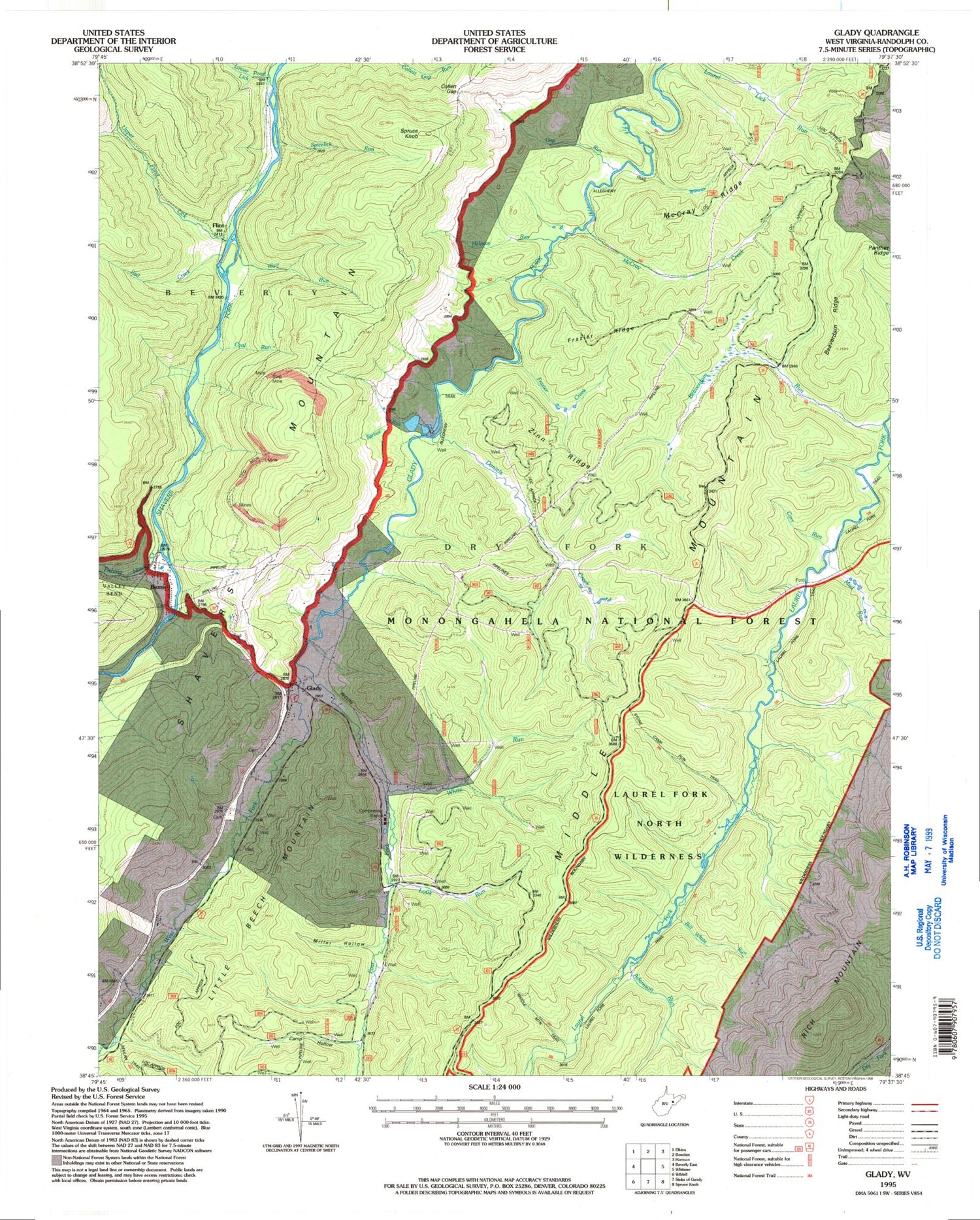
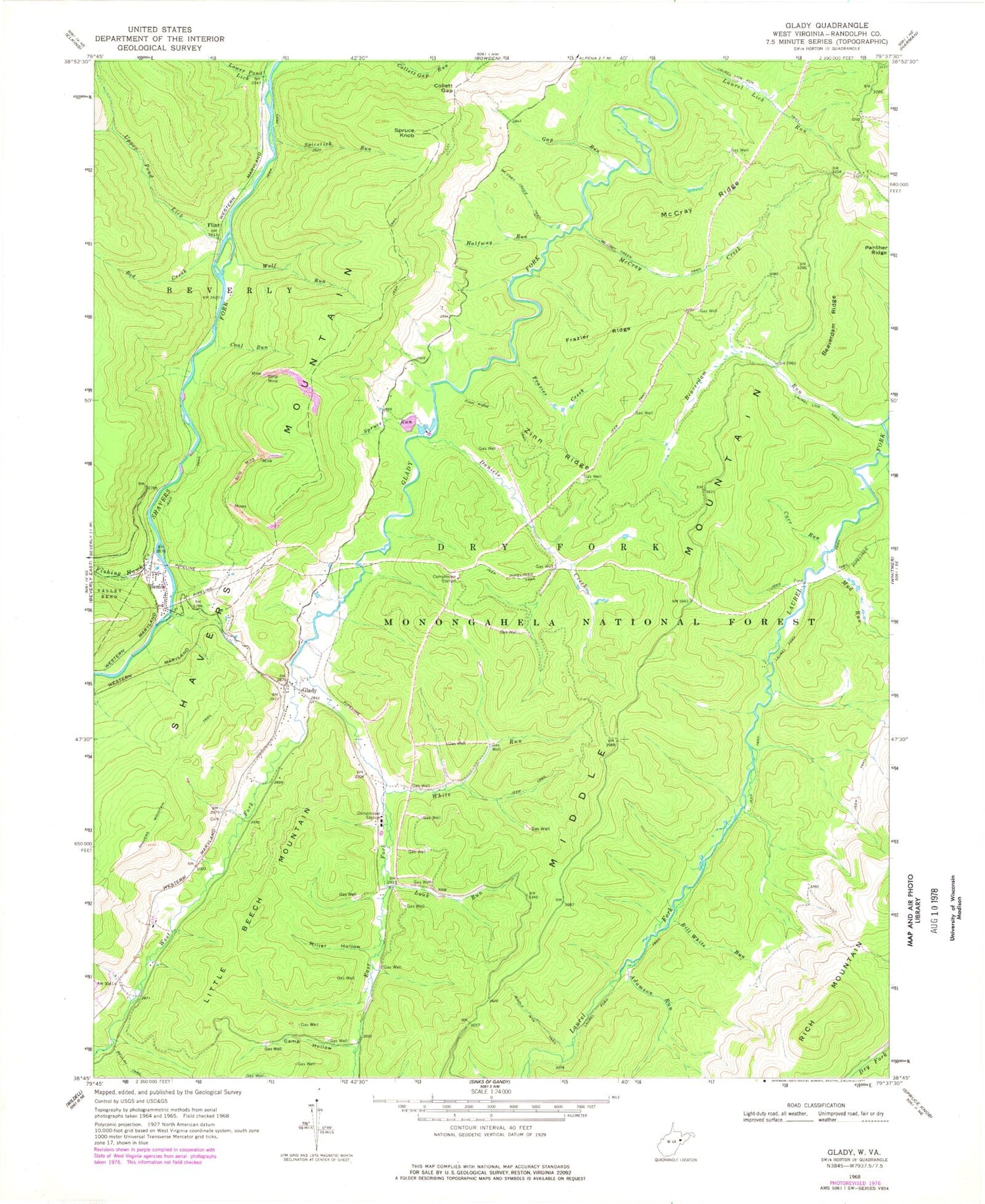
Classic USGS Glady West Virginia 7.5'x7.5' Topo Map
Couldn't load pickup availability
Historical USGS topographic quad map of Glady in the state of West Virginia. Typical map scale is 1:24,000, but may vary for certain years, if available. Print size: 24" x 27"
This quadrangle is in the following counties: Randolph.
The map contains contour lines, roads, rivers, towns, and lakes. Printed on high-quality waterproof paper with UV fade-resistant inks, and shipped rolled.
Contains the following named places: Adamson Run, Beaverdam Ridge, Beaverdam Run, Bill White Run, Camp Hollow, Carr Run, Coal Run, Collett Gap, Daniels Creek, East Fork Glady Fork, Fishing Hawk Creek, Flint, Frazier Creek, Frazier Ridge, Gap Run, Glady, Halfway Run, Laurel Fork Trail, Laurel Lick Run Trail, Laurel Lick Trail, Little Beech Mountain, Louk Run, Lower Pond Lick, McCray Creek, McCray Creek Trail, McCray Ridge, Middle Mountain Trail, Miller Hollow, Mud Run, Panther Ridge, Red Creek, Spicelick Run, Spruce Run, Upper Pond Lick, West Fork Glady Fork, White Run, Wolf Run, Zinn Ridge, Zinn Ridge Trail, Laurel Fork North Wilderness, Stone Camp Run Trail, Bemis, Spruce Knob, Montoncy Spring, Pat Spring, William Harris Spring, Bonelick Branch, Glady Church of the Brethren, Glady Post Office, Montes (historical), Pine Grove School (historical), Wheeler (historical), Beaver Dam Wildlife Management Area


