
MyTopo
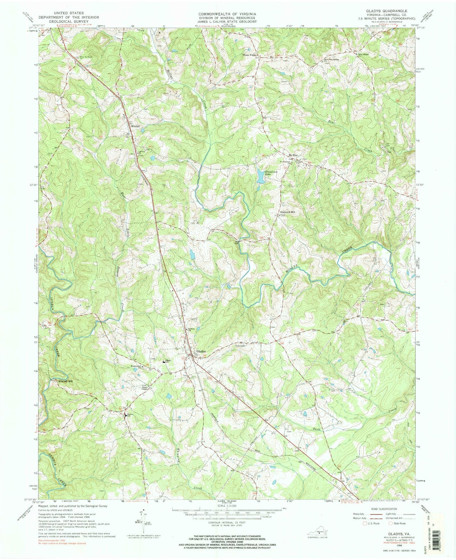
Classic USGS Gladys Virginia 7.5'x7.5' Topo Map
Couldn't load pickup availability
Historical USGS topographic quad map of Gladys in the state of Virginia. Map scale may vary for some years, but is generally around 1:24,000. Print size is approximately 24" x 27"
This quadrangle is in the following counties: Campbell.
The map contains contour lines, roads, rivers, towns, and lakes. Printed on high-quality waterproof paper with UV fade-resistant inks, and shipped rolled.
Contains the following named places: Bethel Mennonite School, Brookneal District, Brookneal/Campbell County Airport, Calvary Church, Campbell County, Citizens Emergency Crew, Diamond Hill, East Little Seneca Creek, Farmer Dam, First Saint Pauls Church, Gladys, Gladys Elementary School, Gladys Post Office, Gladys Volunteer Fire Department, Grandview Lake, Grandview Lake Dam, Kedron Church, Mitchell Mill, Mount Zion, New Chapel Church, New Free Spring Church, Oak Grove Church, Organ Chapel, Saint Stephens Church, Seneca School, Three Forks, Wesleybury Church, Winfall, Winfall Nurseries


